
POWDERCHASERS
Never miss a powder day
MOST RECENT FORECAST
Read more here >>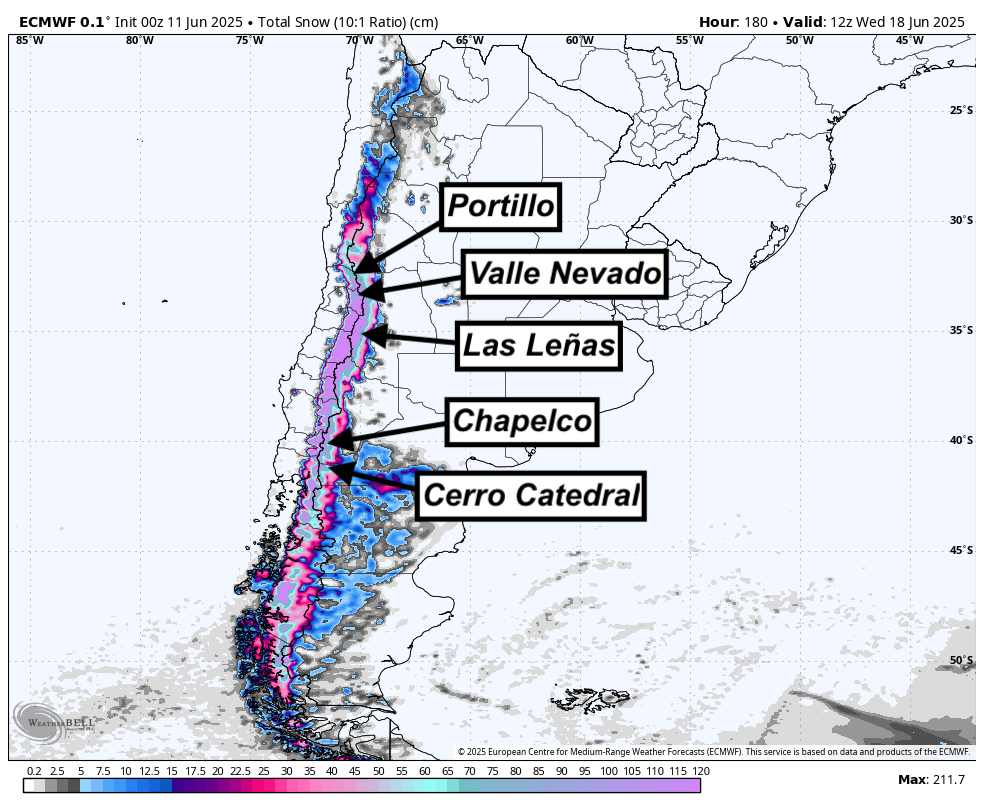
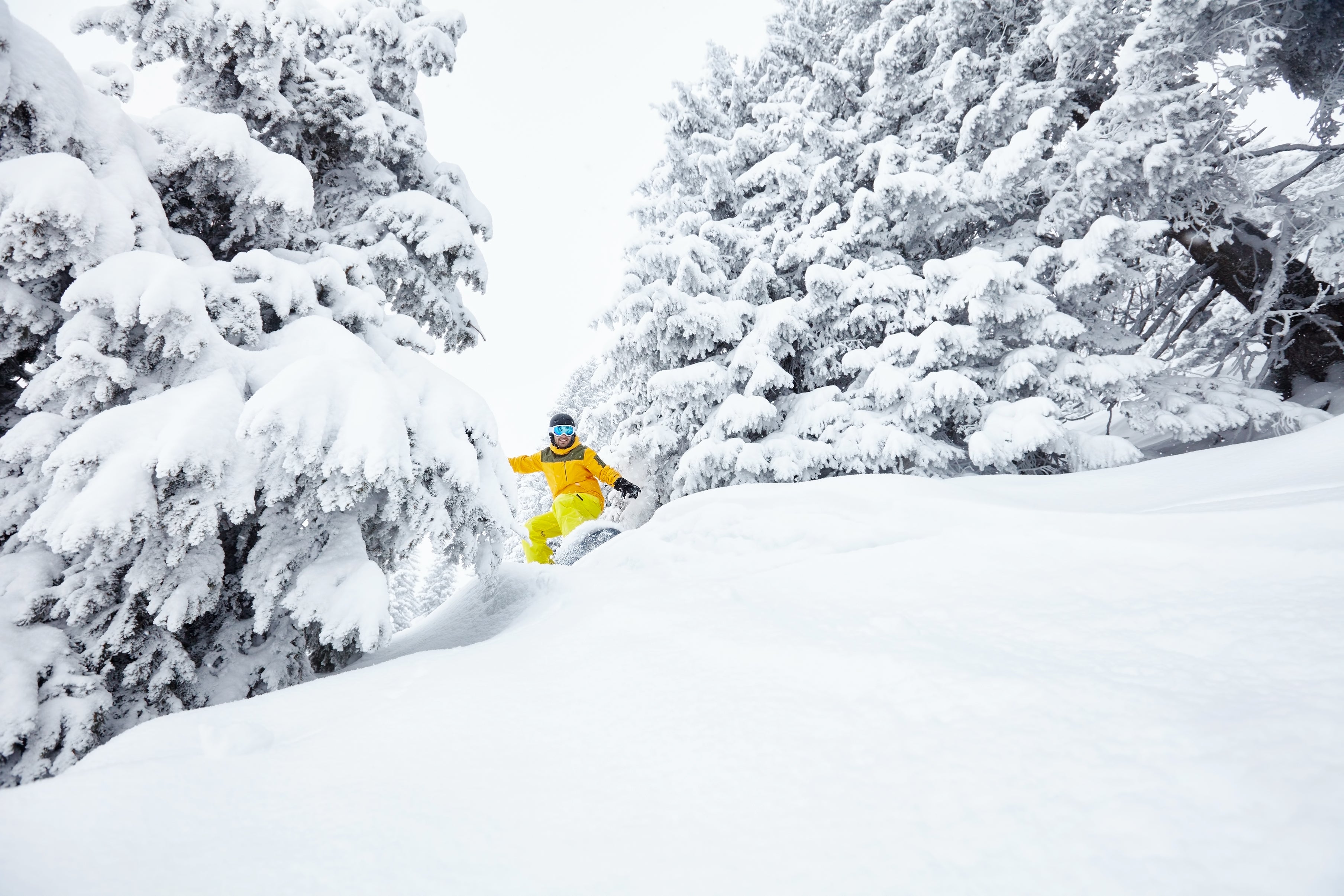
EPIC ALERT: 6+ FEET For South America Opening Weekend
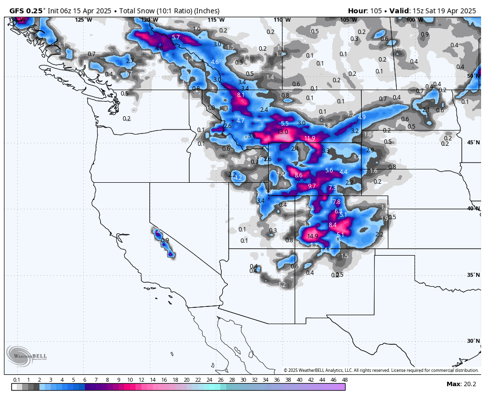
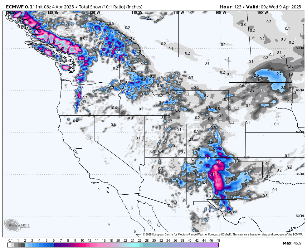
Powder Alert-Rockies- Final Post 24-25 Season.
CONCIERGE TRIP PACKAGES


NEVER MISS A POWDER DAY!
Get Free Powderchasers Powder Alerts in your inbox! We send 10-day powder forecasts and emails before big storms - and you won't want to miss a single drop!
Donate to Powderchasers and get some FREE SWAG
$25 donation= a coupon code for 10% off any PowderChasers hat or t shirt
$50 donation = two Powderchasers stickers for your gear box plus a coupon code for 15% off any hat or t shirt
$75 donation = two Powderchasers stickers for your gear box PLUS a coupon code for FREE SHIPPING on any hat or t-shirt.
$100 donation = our embroidered signature Powderchasers fleece beanie
$150 donation = our Powderchasers t-shirt and four stickers
$250 donation = a "swag bag" filled with Stickers, Tee, Beanie (or hat)
$350 donation = Our Concierge Single Chair ($154 value) package plus your choice of an embroidered fleece beanie or baseball cap
SHOP POWDERCHASERS MERCHANDISE


POWDERCHASERS SPONSORS


- Opens in a new window.