
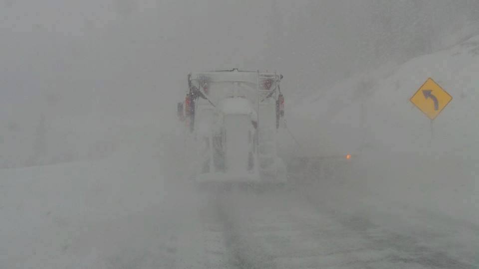
As of Sunday morning, colder air has filtered down into southern Wyoming where freezing drizzle is falling in the Laramie area. Light snow fell most of the night near Big Sky (4-5 inches per the snow telemetry) and it's currently snowing at Red Lodge Mountain ski area (Wyoming/Montana border). I suspect Red Lodge Mountain will have decent amounts by late Sunday.
Below: Snowcam at Red Lodge Mountain Ski area 5 AM Sunday

The heaviest snow for Colorado should fall PM Sunday to AM Monday where models still advertise around 1/2 inch of moisture (Water) for many mountain areas. That should correlate to around 5-10 inches for a good portion of Summit County with 4-8 inches further west towards Aspen or Vail. Higher amounts are likely for the mountains of Grand and Boulder Counties (Winter Park, Berthoud, Eldora) that could approach 9-14 inches by Monday mid-morning. Rocky Mountain National Park may also score decent amounts. Peak snowfall may come after 11 PM Sunday to 8 AM Monday.
An added bonus is that this storm is going to continue to drop south into the San Juan Range albeit weakening producing some of the first snow for Telluride, Silverton, and Purgatory (2-5). Wind direction is not optimal for heavy amounts in these areas.
Another cold front will drop into the Rockies by Tuesday producing light to moderate snow in the northern areas of the Region (Montana and Wyoming) and perhaps a repeat of what occurs tonight in Colorado. This system is originating from Canada, fairly dry, but offers the Arctic air that is more commonly found in January! That cold front will likely offer some surprise totals, especially in Colorado (Front range is favored) bringing totals from both storms in the 2 foot plus range (Both storms). Wednesday is likely going to be another powder day especially in Colorado. Snow will be very light density, so it's possible your busting through to the surface below (Beware it is still early season out there).
Hard to believe it's still October! Temps midweek will struggle to get above 20 degrees in many areas with single digits at many summits. ULLR our snow god is still with us!
Powderchaser Steve


