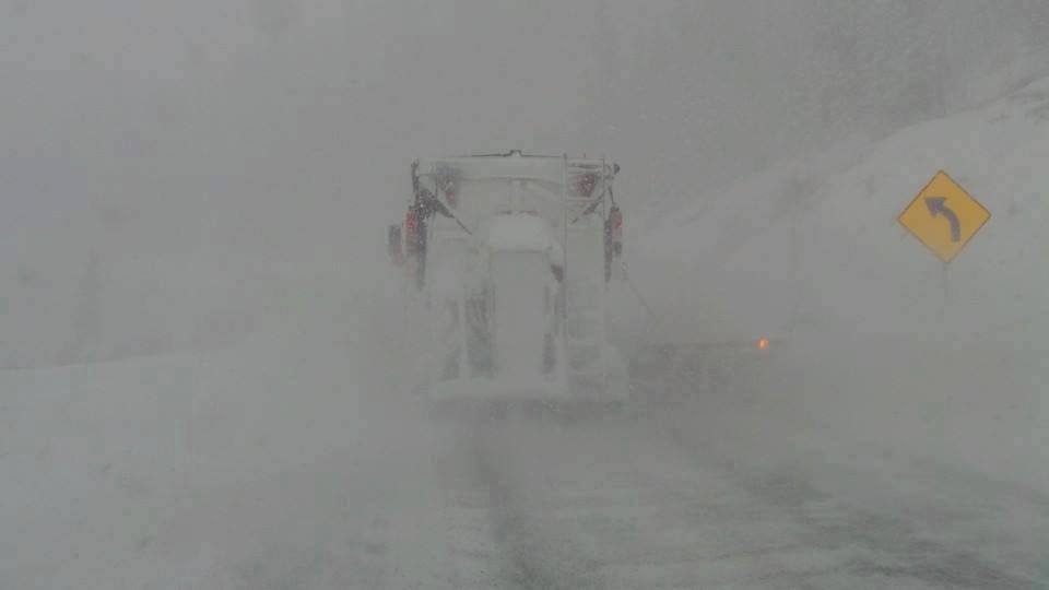
On the chase! Forecast held up with the NW flow bringing 4-8 inch totals to most resorts in north/central Utah with higher amounts in Little Cottonwood (9-10). The snow telemetry Monday morning is not working in Wyoming but with cameras, and water content it appears around 6 inches has fallen in the Tetons. Radar is heavy in the Tetons currently so it's likely another 2-3 inches fall before the lifts open. Chase Now! Utah or Wyoming (UPDATE at 7 AM- JHMR and Targhee telemetry now showing 6 inches).
Models and radar show good action over Colorado just beginning Monday morning. The highest amounts will likely occur at Steamboat (5-9 inches) and even Telluride who benefits from NW flow. The system is orientated N/S so both ranges (S and N) will benefit. Aspen is a wildcard who also can do well in this pattern. Further east Vail can score 3-6 with less snow likely towards the Divide. Plan to ride CO mid-morning or last chair on Monday. First Chair Tuesday may also be an option.
In the PNW significant snow will fall Monday night into Tuesday (12-15). Snow levels are near 4,000 feet lowering slightly for Tuesday morning. Expect deep conditions of dense snow (Could be good up top). If you're in the NW this is an event to chase but keep your density anticipation low. Some surprise quality will exist up top.
Another fast-moving storm moves into the Rockies Tuesday night. Wednesday might be a repeat powder day.
Powderchaser Steve


