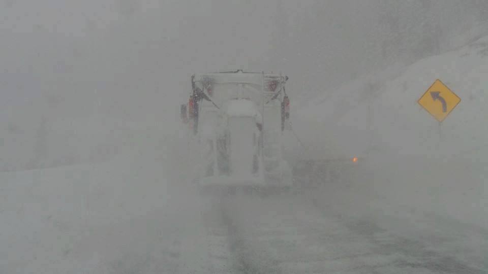
High confidence for 5-10 inches of new snow for southern Montana favoring the eastern portions near Red Lodge Mountain Ski area (Open). Big Sky (Open) will also grab some snowfall Saturday night into Sunday with models pointing to 3-5 inches towards the summits. Less will fall at the bases. Temps are on the warm side and finishing cool enough for decent quality in the tail end of the storm cycle Sunday. Expect dense snow for the bulk of your ride and some medium density frosting on top. With the warm temps we have seen in the past several days, that's a good thing.
Below: Cold air is pushing into Montana Saturday night but just on the border near Red Lodge (Maybe slightly warmer than areas like Big Sky to the NW). Temps will continue to cool slightly into Sunday. This map is at 10K feet so areas will be sitting at -1C at most locations higher up on the mountain.

Colorado still mystifies with the darn GFS still pushing 7-12 inches at the highest summits of A-Basin, Loveland and perhaps even Breckenridge (wildcard) thorugh Monday night. The Euro and even the NAM have lower amounts. Honestly, I have to side with the 2 less bullish models and forecast light snow for Sunday (PM starts increasing) with moderate snowfall likely for Monday morning (3-6). It's likely that snow will continue to fall through the day Monday so late PM and even Tuesday may offer additional dense pow. Winds are N or NE at the lower elevations but models indicate it's possible that NW or west could be occurring at higher elevations (10K feet and higher). That may push more snow towards the Divide and even slightly west so areas of Summit may do well in this pattern. In a nutshell, confidence is high for 3-7 inches for most mountains along or east of the Divide through Monday mid-morning with an outlying chance of 6-11 inches by Monday night. Temps are warm, so quality may be a dense cushion (Exactly what we need with the warm temps currently). I will update this forecast late Saturday or early Sunday.
Below: SREF plumes showing decent snowfall from late Sunday to late Monday for the Eisenhower Tunnel (East Portal).

Below: SREF plume showing slightly higher amounts on Berthoud Pass

Powderchaser Steve


