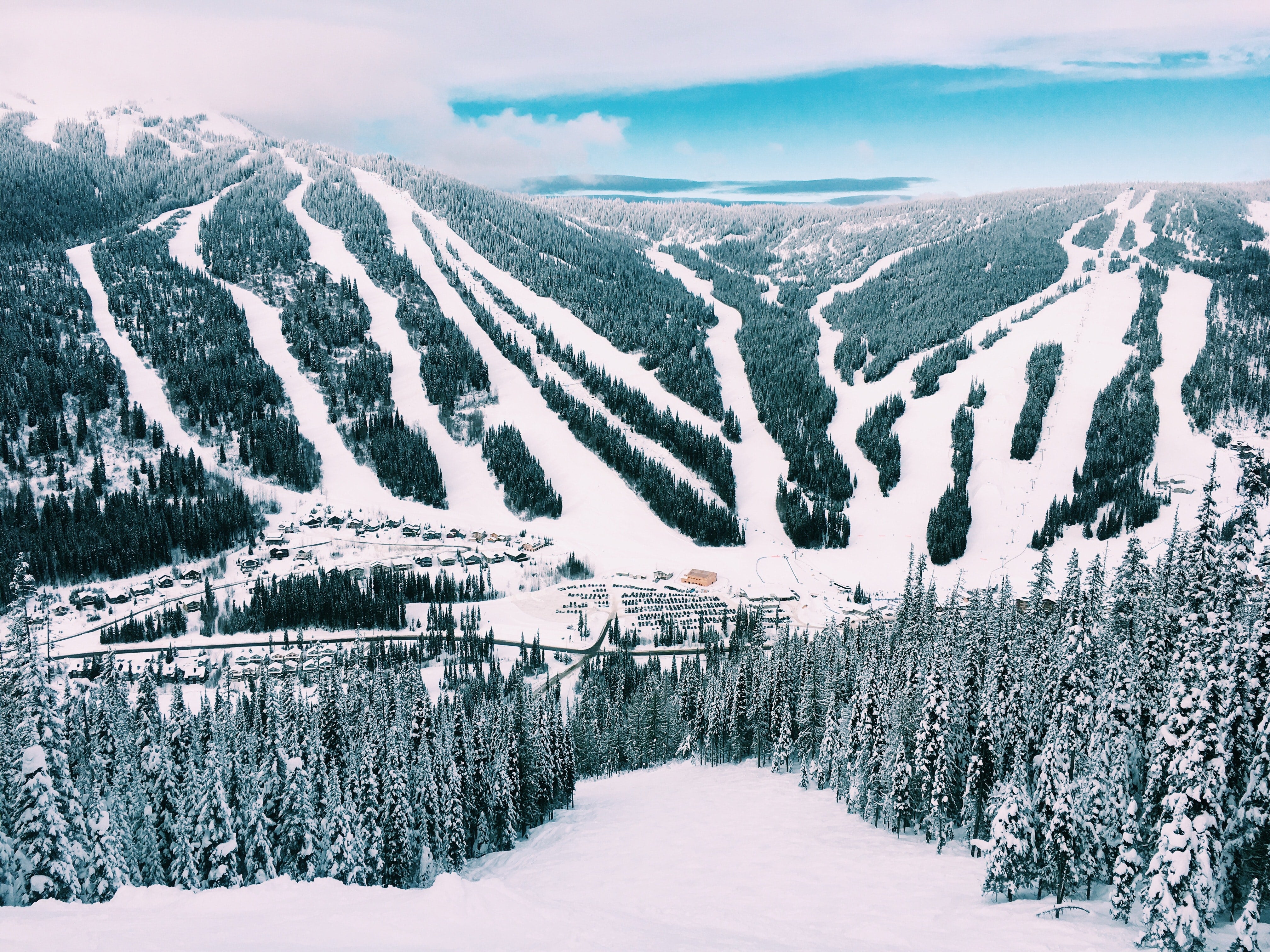
Wow. What a snowy time that we've had recently with multiple rounds of heavy, heavy snow that has impacted just about every ski area in the western US. Feet upon feet upon feet of snow have fallen and now, snowpack is looking healthy and skiing and riding is awesome.
Let's talk about what's happened before we talk about what's to come. Since December 1, the Western US has really turned things around. The beginning of the month started off slow for some but quickly ramped up. Here's a look at *seasonal* snow totals from December 1 to December 28.

You can clearly see an increase in snow coverage and big snow totals. Several mountain range from Colorado to California to Washington and Montana have now gotten over 100\" of snow for the season. Places like the Sierra Nevada have seen over 17 feet of snow this month - looking at you Sierra Snow Lab near Donner Pass. They just reported over 200\" of snow fell this month making it a record snowy December and one of its snowiest months ever. With more snow to come before the new year, they may inch closer to all-time records.
Over the past weekend, some decent snows fell across the West and with a slight lull in the action right now, we look ahead to our next storm!
FORECAST
The Aleutian High that has been sending so many snowstorms down the pipeline is breaking down but it will send one more decent snow dump to the West before the end of the weekend making for a nice New Years forecast for many.

You can see the blue and green blob digging across the west and that is the trough, or low pressure system, that we are watching for the incoming weekend. This initially will bring snow to BC and the Cascades and the northern Rockies through Friday but then that energy will move south and east and will impact California, Utah and Colorado for the weekend. based on the movement of this storm, most mountains, regardless of which direction they face, will see some appreciable snow.
PNW

Most of the snow coming for the Cascades will fall primarily from Thursday to Friday morning. 6-12\" will be the expected snowfall from Mt. Bachelor to Mt. Baker. This will be a colder storm so the snow should be nice to ski or ride on. up to a foot is possible on the favored NW slopes but just about everyone will benefit from at least a half a foot of snow in this area. After this round of snow, the weekend looks pleasant but out next storm will be moving through by early next week that could deliver another powerful punch of snow to the area.
California

California will be adding to their amazing snowpack with up to 2 feet of new snow by Thursday afternoon. That will be most likely in the southern Sierra Mountains as that area will get the best winds for upslope snows. Other areas of the Sierra Nevada are expecting 8-16\" of snow which is a great amount of snow even if the recent storms didn't dump over 10-feet of powder. After this storm winds down Thursday evening, the weekend looks calm and awesome for anyone getting out to experience the great conditions. Looking ahead, the first work week of the new year may deliver another round of big snows for California. We'll have more updates on that later.
Northern Rockies

The Northern rockies have gotten some great snows from this storm cycle but totals haven't quite been as high as the multiple feet of snow that has fallen elsewhere. That doesn't meant he snow hasn't been great. Additional snow is coming with this next storm this week. The best powder found here will be in Wyoming where up to a foot of snow may fall by Saturday. Jackson Hole should have some awesome powder to work with this weekend. Other areas like Schweitzer and Montana Snowbowl will see some nice powder with a few inches expected from this storm. Overall, a nice pattern for the Northern Rockies. The storm that we are already tracking for the first week of the New year should bring the northern Rockies some very impressive snows and some bitter cold so be ready for that.
Utah and Colorado

Utah will be performing very well from the upcoming storm but Colorado will be the big winner. Consistently westerly and southwesterly flow will blast Colorado with more snow. Through Saturday, areas of Utah are expecting anywhere from 6 to 16\" of snow. The most found near Alta and Snowbird. For Arizona Snowbowl, up to 10\" of powder could fall from this system making for great skiing there this weekend. From Steamboat to Crested Butte in Colorado, up to 2 feet of snow is forecast through Saturday morning as Pacific energy meets with a cold front from the north. Snow rations will be high and powder in Colorado is expected to be light and fluffy and very fun. Areas around Telluride and Purgatory may see up to 2 feet of snow while Wolf creek may squeeze out 3 feet of snow by Saturday.
The storm pattern for the Western US has been amazing and it continues through this weekend. Enjoy the powder!
Powderchaser Andy
Twitter | Instagram | Facebook | YouTube | Tik Tok


