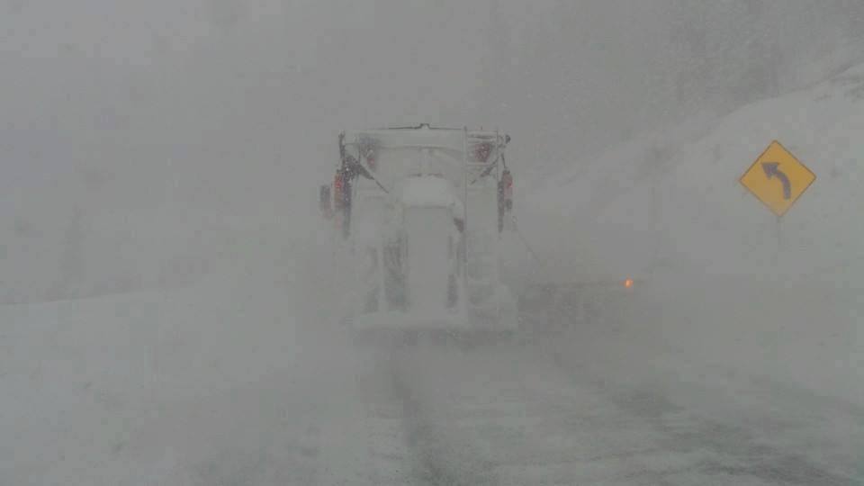
THE FIRST OFFICIAL DAY OF SUMMER IS THIS FRIDAY! WHO'S READY FOR SOME SNOW?
High elevation snow will push into Montana beginning on Thursday morning. Snow may continue into Friday with up to 7- 12 inches above 8,000 feet. NW winds may bring decent amounts the summit of Bridger Bowl and the Big Sky ski area.
Moisture will filter into the Tetons by Friday (Light snow) before it takes aim at Colorado Friday/Saturday. Amounts will be light in the Tetons. Light snow will be falling above 9,000 feet in Colorado favoring areas north of I-70. Rocky Mountain National Park, the Flattops, Summit of Steamboat (Mixed precip on Rabbit Ears Pass) will all see some teasing snowfall Friday/Saturday.
Below: Total snowfall for Montana (Higher peaks) through early Friday morning.

Below: Total snowfall for northern Colrado through Saturday.

Who is enjoying these cooler temps this summer? The winter that won't end! The first day of summer officially starts on Friday. We love the irony that it will be snowing in many areas of the Rockies. BC and Alberta saw snow a few days ago.

Let us know with a comment on your summer or winter plans this week.
Thanks for following Powderchasers!
Powderchaser Steve


