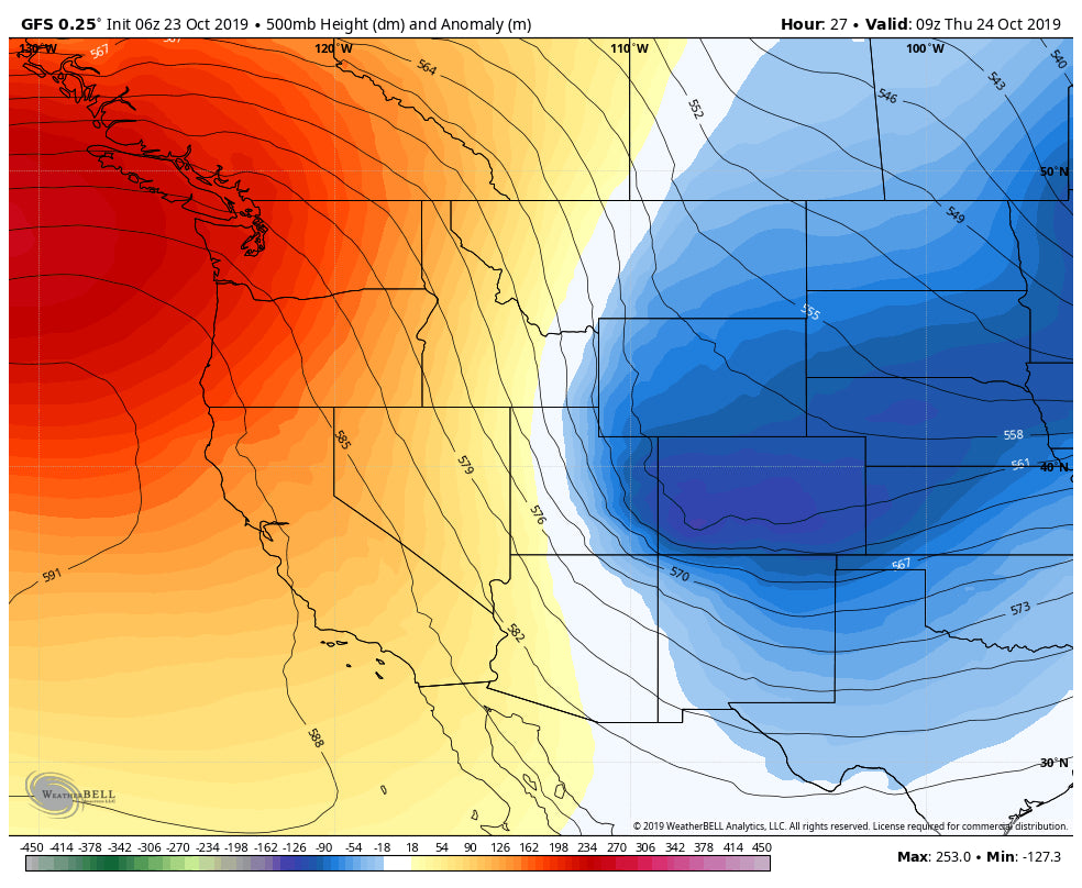
Models are in decent agreement that most of the snowfall Wednesday will peak in the evening through the early morning Thursday. The highest amounts will be found along or south of I-70 with up to 12 inches in the southernmost areas of Colorado along east-facing slopes. For Summit County plan some extra time on I-70 Thursday morning with slush or snow-packed roads to the Eisenhower Tunnel with some decrease noted on the west side of the DIvide. It's likely the northern mountains (North of I-70) grab 1-3 inches from Steamboat south and areas south of I-70 earn 3-7 inches. I would expect the snow reports at A-Basin and Keystone to come in around 3-7 inches. Areas along I-70 near Evergreen or Georgetown will see higher amounts. SE Colorado towards the New Mexico line will go double digits. Even New Mexico may see its first snowfall, however, unfavorable winds for most of the mountains (NE) will only bring light amounts to Taos and Santa Fe. Slightly higher amounts may land near Angel Fire but it won't be much (1-3)
Here is a look at the latest GFS this morning showing totals through early Thursday morning.
.%5B1%5D.png%5C%22)
In the extended forecast another cold front brings some light or moderate snow back to Canada before quickly moving south bringing some light snow back to Montana, the Tetons, and Colorado by Sunday. It's a quick mover so I am not expecting any significant amounts. Sunday may offer a light refresh of powder for A-Basin and Keystone.
This truly inspires me, to know that some ski areas still offer sub $50 day tickets! Remember those days! Come check out Beaver Mountain in northern Utah who nabbed a foot of pow last weekend (currently closed).

Enjoy the snow everyone.
Powderchaser Steve


