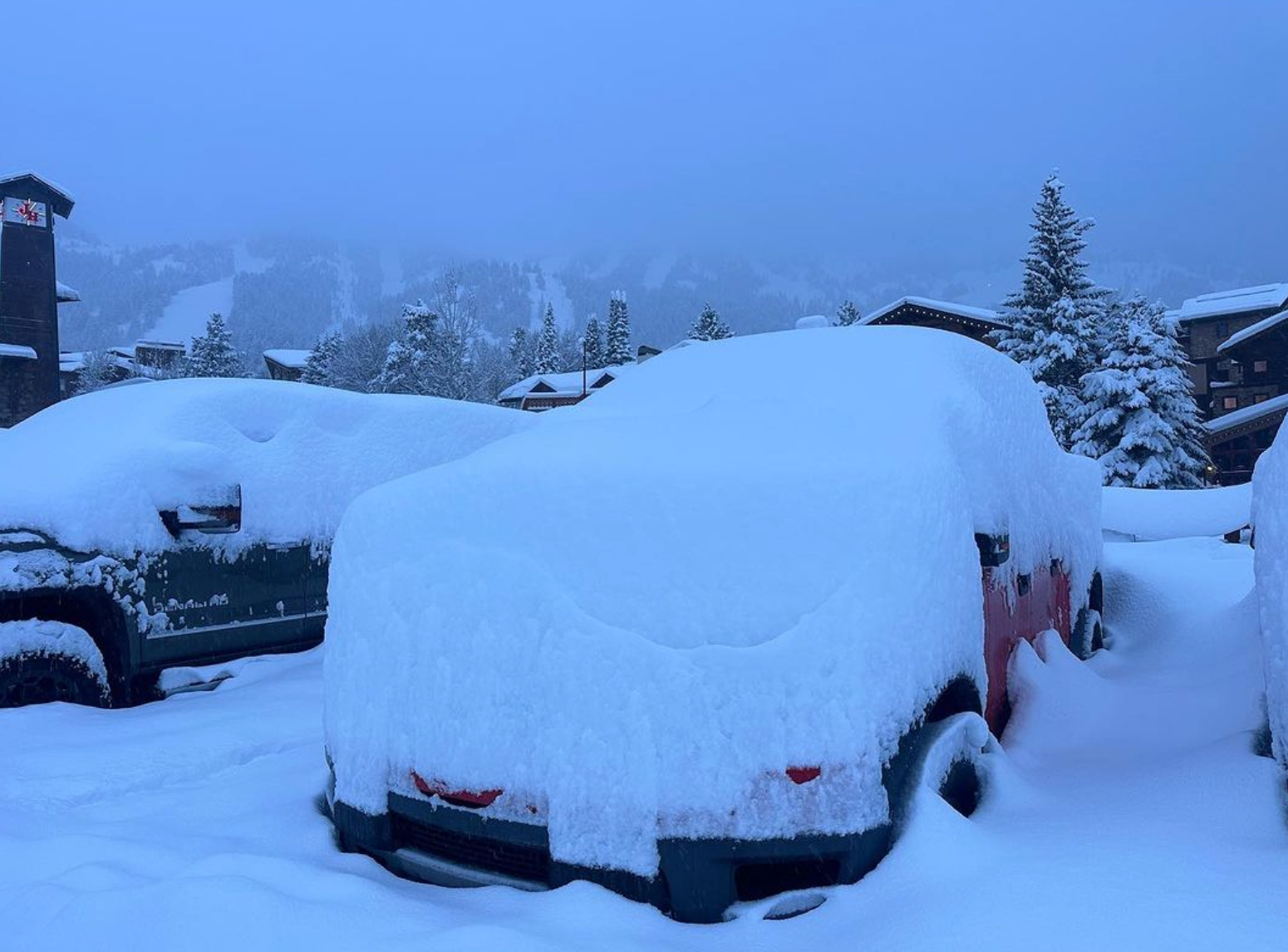
On Saturday morning, significant snowfall was falling in the Tetons with some folks stating an all time overnight record was set (20 Plus overnight). Snow continued to fall during the morning with ski patrol doing their best to get terrain open. Very deep snow with medium density (Heavier at the base) just made things more difficult.
At 11AM Saturday the cold front blasted in with heavy snow squalls and strong winds. It was "Game over" for any of the upper mountain. I am not sure what lower lifts may have spun. Grand Targhee remained closed all day on Saturday. Snow King in Jackson would have been the best call!
Below: total overnight snowfall at JHMR as of Saturday morning (20 plus inches). Photo: @powderchasersteve via Instagram

In the Sierra snowfall continues as well as strong winds. Unfortunately, we don't see a relief in the winds until perhaps Monday. Snow will continue to pile up through Sunday with another 20-30 inches on the models. Most resorts have picked up 3-4 feet thus far making storm totals by Sunday in the 6-8 feet range. Many resorts are closed with the exception of some lower terrain at a few locations.
We can't recall any single period in the west with so many resorts not open that included Utah, Wyoming, and the Sierra today. We blame the winds but also heavy snowfall over a very wide area.
Then another storm rolls in for Monday/Tuesday with another 12-18 inches! As things slowly open in the Sierra the Tuesday/Wednesday period might end up being your best bets. We never suggested the chase there in the short term.
Below: Additional snowfall through late Sunday in the 20-30 inch range for many of the Sierra resorts. More snow likely early next week!

Below: Here is the bad news! Winds at 10K feet are sustained in the 50's with much higher gusts through Monday morning. We originally saw a decrease in winds Sunday but at this point they don't appear to decrease by much. 170 MPH wind gusts were reported at Palisades on the Alpine side Friday night. This map is through Sunday midnight.

Meanwhile as the Tetons remain out of the action Saturday afternoon the Wasatch is getting hammered with 60 MPH wind gusts with the passage of the cold front we have been talking about for the past few days. Heavy snowfall is accompanying this band with 2-3 inch per hour snowfall rates. We expect 9-12 inches for the Cottonwoods and perhaps 5-11 for PCMR and areas north into Ogden and Logan.
Winds decrease in Utah after 8PM as well as moisture. Then, on Sunday morning winds increase by 5AM with additional snowfall expected through midday (4-7). Winds will gust to the 50's and 60's before decreasing Sunday afternoon.
Ih Colorado the models continue to be very bullish for deep snow with good timing from later Saturday night to early Sunday.
Below: Widespread snowfall favoring the central and northern mountains primarily Saturday night to midday Sunday (Good timing) Temps drop rapidly with the cold front and quality will be very high. With increase snow ratios (Liquid to snow) we would not be surprised to see 11-18 inches in many areas of Colorado. The southern mountains are not going to see much snow.

HELP US OUT! Please donate here to Powderchasers if you have taken advantage of our free forecasts. This Is our number one source of revenue. Free swag for you on all donations from $50 and up. $100 donations grab you a custom shirt also!
We have new Powderchasers shirts fresh off production for sale currently for just $32 (Front and back powder)


Don't forget if you want to chase powder to the best locations every time, join our concierge package here. This provides custom 1:1 consults.
Powderchaser Steve- @powderchasersteve on Instagram


