
Summary:
In the past several day's many areas reported double digits (2 storms). The highest amounts fell over isolated sections of Montana (Bridger Bowl scored 14 inches of cold smoke Monday) really reaped deep rewards. Red Lodge Mountain in southern Montana near the Wyoming border takes the award for 80 inches of pow for the month of October! Videos from these areas look deep and put my stomach into the first sinking jealous mode of the season. Why were we not there! How many times do you ask yourself that after a powder day? Faceshots looked amazing from Montana from the past few days. Currently making this post from Anchorage, Alaska where it's a balmy 44 degrees!
RECAP
The last 24 hours provided a tricky forecast due to wind directions not being optimal for resorts on the western side of the Divide in Colorado. I mentioned higher moisture south of Summit County towards Monarch (7 inches fell yesterday) and areas further west as wildcards (Vail, Beaver Creek). Winds veered to the W, NW per the models in these areas and that is exactly what allowed the western areas to exceed the totals in Summit and Grand Counties. Most of that action happened late Tuesday. While upslope (NE or E winds) is not favorable for Summit County (A-Basin sometimes scores) my 4-8 inch forecast was on the high side. Numbers this morning came in much lower.
Breckenridge: 4 inches
Loveland 3 inches
A-Basin 2 inches.
The chase forecast for areas further west towards Vail and Beaver Creek ended up hitting our forecast (5-10) but on the lower end of the ranges. Telluride who was on our forecast for 2-5 and ended up higher with 6-7 inches (Per the snow camera). In Utah, lake effect snow bands and intense precipitation fell Tuesday morning as forecasted and produced 12 inches by noon yesterday (Forecast was 8-14).
Reports from the past 24 hours.
Alta: 12 inches per SWE telemetry.
Beaver Creek: 6 inches
Vail: 5 inches
Telluride- 6-8 inches per the snow camera (Looks drifted at the top of the cam).
Powderhorn (near Grand Junction) - 8 inches with drifts on the camera at 12-14 (Wind). Per webcam
Temps are very cold this morning! This is more typical for Mid-January and almost 20-30 degrees below average for October.
-13 at Berthoud Pass and the summit of Loveland
-8 at Vail Pass
Extended pow cast
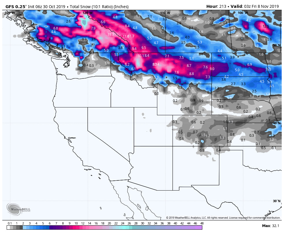
The extended forecast brings high pressure into most of the west through November 4th. The far northern Rockies (Montana), interior BC, Alberta are likely to see a trough impact the region in this time frame. This may graze sections of Wyoming. It's possible that some significant snow returns to the far northern regions (Especially Canada) during November 4-7 period.
Below: November 4th may bring a decent trough to the far northern Rockies and most of Alberta or the interior of BC.

The high pressure over the Rockies may begin to break down around November 10, but I am not seeing any strong signals at this point for significant systems.
Please support Powderchasers by joining the Concierge or making a donation.


