
Snow showers are exiting Utah as of late Saturday with only an additional 1-2 inches expected before 9 PM. On Saturday conditions were epic with full-on deep storm skiing at Snowbird (20 inches in 15 hours), high quality, and definitely one of the top days of the season. I chased from Kirkwood to Snowbird now logging over 54 inches 3 days. Snowbird Patrol did a fantastic job today in getting terrain open and dealing with the struggle of no tram (Down for new cabins being installed). Storm totals at Alta and Snowbird are approaching 30 inches.
Colorado continues to grab the leftovers with 2-3 additional possible through Sunday morning. Models show some enhancement late Sunday to Monday favoring the I-70 corridor from eastern Eagle (Vail) through Summit (Breck) and Clear Creek (Loveland). It's possible late Sunday to Monday to nab 3-7 inches in a few isolated spots. Storm totals from Saturday to Monday in the northern and central mountains are likely to exceed 12 inches but much of that has fallen Friday/Saturday.
Below: Powderchaser Steve at Kirkwood Friday. It was deep with some sun warming impacts, but overall a stellar day once things opened. @powderchasersteve

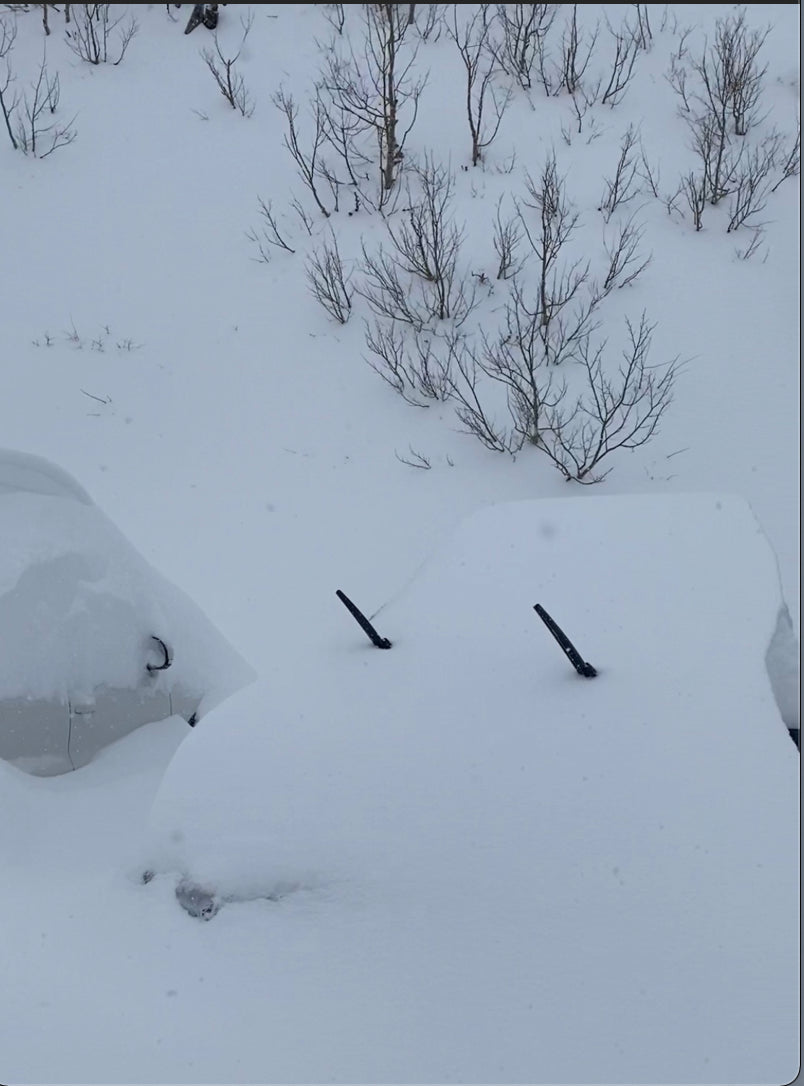
Below: Saturday at Alta -\"Where is my car\" Photo: @powderchasersteve

Looking out at chases for the next 48 hours? Hit the Cottonwoods for new terrain that did not open on Saturday. There was a quick 3 inches just as the lifts were closing Saturday plus a bit more light snow will make Sunday a great day to hit the slopes (Leftovers, some untracked, and new openings- I can't tell you where)
Below: The main low responsible for the deep powder in the west is over the Midwest as of late Saturday but still kicking off snow showers to the west over Utah and Colorado which continue, especially in Colorado through early Sunday. This will enhance late Sunday to Monday with a possible sneak-up powder day (3-8).

Below: Total snowfall for Colorado through Monday morning is decent with several periods of light snow that appear heaviest late Sunday to Monday. The Divide (Loveland, WP) might be favored however Summit looks decent also, and perhaps Vail Pass.

In the extended, low pressure returns to Canada early to mid next week with perhaps another storm due towards April 28th for the Sierra or Rockies.
Below: Low pressure seems focussed on BC and Alberta early to mid next week with decently cold temps initially, especially for Whistler. Alberta might see higher amounts with temps borderline for chasing.

Below: It's possible low pressure approaches the west towards April 28th but it's too far to forecast with any accuracy. The deterministic models have not picked up on this system yet but it's worth watching.

Our season at Powderchasers is winding down for normal posts. We will likely issue our last forecast for the 21/22 season in the next few days. We are expanding our forecast team so if you have experience in meteorology or snow forecasting please reach out to powderchasersmedia@gmail.com.
Please donate from our homepage if you have scored powder this season.
Powderchaser Steve


