
Can you imagine spending 2 days watching it snow 1-3 inches per hour at the base of a Ski Area with no options to get outside, other than a brief walk within a short distance of your lodge. Welcome to \Interlodge\" in the Cottonwoods. In fact, one slide came down so close to the resorts on Tuesday that Alta went to Maximum Security (Shelter in place away from windows). We are now approaching 50 inch storm totals at Alta and Snowbird. Its possible LCC opens this afternoon, but it might be for downhill only (TBD). Many resorts have now passed the 100 inch mid mountain base levels. Resorts in LCC remain closed as of Wednesday morning.
Below: Benches at Snowbird are almost buried- Photo: @powderchasersteve via instagram

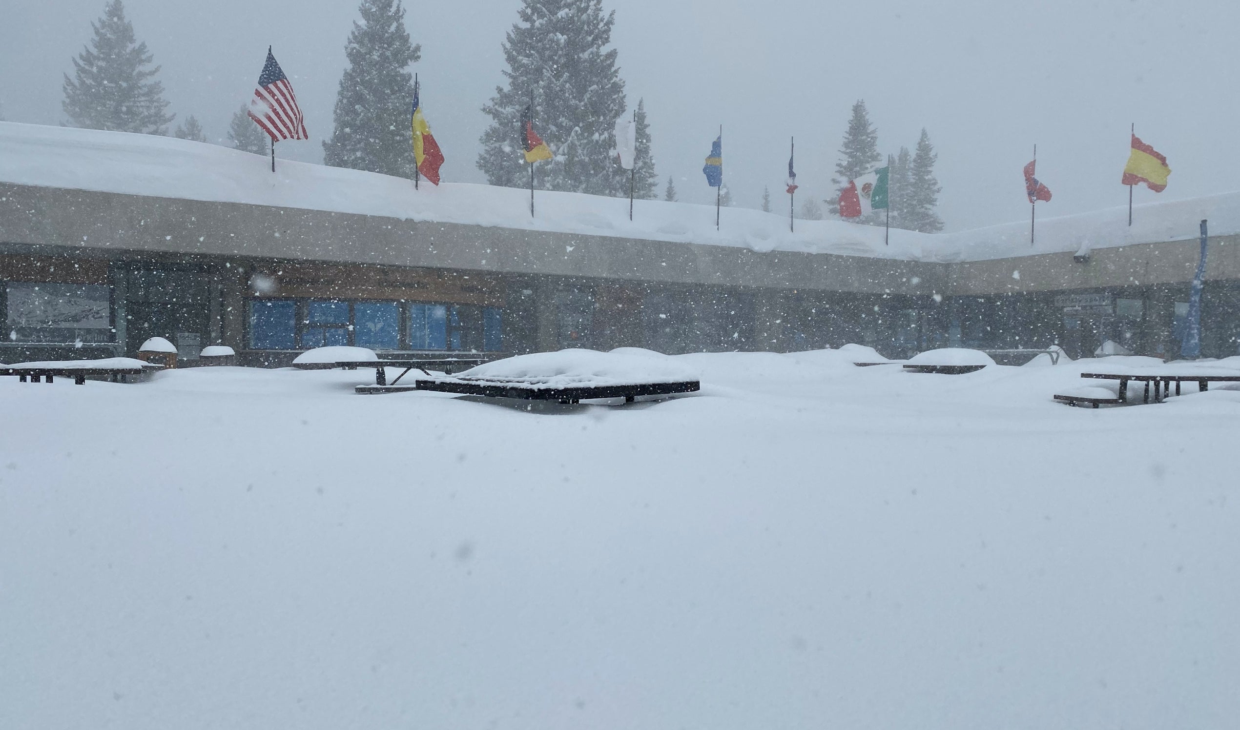
Below: The snow report you can watch but not ride! Its possible Alta and Snowbird opens today, but my confidence is 0% on before noon and 50% for limited terrain in the afternoon. The road is still a ?

Otherwise, on Wednesday morning Big Cottonwood scored another 10-12 inches last night and it appears that the Park City Mountains picked up another 4-7. Snow will continue, heavy at times in Little Cottonwood with moderate snow in Big Cottonwood. The winds shift some of that moisture further down the Canyon with higher amounts at lower elevations and even the Salt Lake Valley including the western valleys where Lake Effect is currently occurring. Heavy snowfall is likely in the Valleys on Wednesday. My top picks will be Solitude, Brighton and perhaps the Canyons side of PCMR. It might be snowing harder in the valley than the upper elevations of the Cottonwoods.
In Colorado the models show some upslope snow showers impacting the Front Range (Loveland, Eldora, WP). The short term models hint at an enhancement of these bands late Wednesday impacting the Front Range resorts (Eldora, Loveland, A Basin,) so Thursday could be powder day (3-8). Its possible that areas in southern Summit County get into that action from Breckenridge south. Monarch is a wildcard. Plan to ride late Wednesday or early Thursday; This is a tricky forecast.
A decent trough will move into coastal BC (Whistler), and the Pacific Northwest on Friday. Oregon and Washington should score 12-15 inches of decent quality powder. That storm moves over the Rockies for Friday night through Saturday. The highest amounts will likely come over the central Panhandle of Idaho, Tetons and Wasatch Ranges. Colorado will benefit in many areas this weekend with some models noting decent moisture over the I-70 Corridor by Saturday morning. General snow totals appear to be a foot or more for the Northern Rockies and 5-10 inches possible for Colorado (Its too early to speculate).
Enjoy the powder everyone, if you can get to your resort, or leave your hotel.
Please follow our forecaster/rider @lstone84 on instagram for footage from the white room.
Powderchaser Steve


