SUMMARY
The last several days brought significant snowfall to the northern and central Cascades, 4 Corners, and even the north/central Mountains of Colorado. NW flow keeping refreshing 3-7 inches in the past 24 hours for many ski areas in Colorado. The outlook moving ahead continues some very light snow for Colorado and high pressure building into the west until perhaps the weekend. A new system moves into the PNW by Saturday and drops south skimming Tahoe. The Rockies get teased again at some point next week!
FORECAST
Notable winners from the past several days include Mount Baker with 27 inches (Ending Monday morning) and Alpental with 28 inches at the summit. Alpental was closed yesterday and will open Tuesday morning for the lucky ones that realized this (Closed every Monday). I went to Crystal on Monday where 9-11 inches awaited at the summit (Not skied on Sunday). Crust was evident on south facing slopes beneath the new powder In many spots exposed to the wind from the weekend. If you rode north or northeast facing sheltered areas the snow was bottomless. Larry Schick from Opensnow (Northwest Forecaster) was at Crystal for the opening of the hike terrain and grabbed bottomless turns in the bluebird afternoon.
Below: Powder Poobah- Opensnow forecaster Larry Schick in the pow at Crystal Mountain Monday.

Below: Alpental Ski area snow report Monday morning (Closed). They just surpassed at 200 inch base and 510 inches for the season (Summit). They open Today (Tuesday). Anyone there?

Below: Low pressure enters the Pacific Northwest early this weekend.

EXTENDED
A moderate system moves into the Pacific Northwest for the upcoming weekend. This will favor the northern Cascades, perhaps Whistler, and extend into Oregon. Currently the models depict a 5-10 inch event for the northern areas of Washington with 2-7 inches further south including Oregon.
Below: Total snowfall for the Cascades and Western BC for Saturday (Favors northern areas).

That system drags south along the coast, teases the Sierra with some flakes by Sunday/Monday before setting up somewhere in the 4 corners by early next week. Currently, I don't see any heavy events as moisture weakens and the bulk of moisture might drag too far south (Wildcards will exist).
Another system moves in from the north over the Rockies in the Tuesday timeframe that will return perhaps moderate snow for Montana,Wyoming, Utah, and Colorado early next week. If I had to single out any particular chases in the near term, it might be the northern Cascades Saturday. Light or moderate snow will also all in the interior of BC.
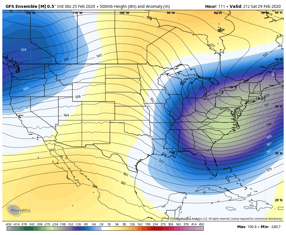
Below: The 1st trough late this weekend that moved south skimming the Sierra swoops east perhaps well south of most ski areas (Wildcard) while another system to the north drops over the northern Rockies by Tuesday-Wednesday. Snow is likely to return in many areas by Tuesday or Wednesday.

Enjoy the powder everyone! Please sign up for the Powder Concierge for custom deep forecasts.
Powderchaser Steve


