
High-Level Summary
A potent midweek storm cycle targets the Pacific Northwest first, with the deepest loading aimed at Oregon’s Cascades from Wednesday into Thursday before conditions dry out on Friday. Utah’s best window arrives Thursday morning after a sharp cool-down, delivering light-to-moderate totals with very high snow quality and strong preservation. Colorado and the Northern Rockies trend lighter overall, but they pick up enough cold, moderate-density snow Thursday into early Friday to refresh surfaces. By the weekend, snowfall becomes spotty and generally too light to chase, and any late-window snow in British Columbia turns denser as snow levels rise.
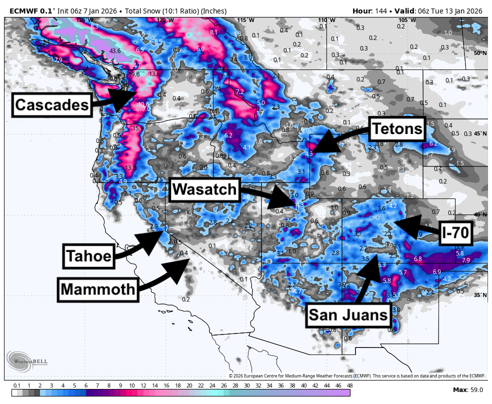
SPONSOR ALERT WITH GREAT POWDER NEAR PARK CITY- UINTA'S
Park City Powder Cats got 17 inches of blower pow earlier in the week, and snowfall will continue up at their cat skiing tenure up in the Uintas tonight and through Thursday before clearing out Friday. They are full on Friday but otherwise have seats every other day, including next week! This Zone in the Uintas;s has very good snow totals and quality right now, with more snow on the way.
Notable Snowfall Totals
-
Timberline: 21–29 inches
-
Whistler: 10–18 inches
-
Stevens Pass (Closed): 13–18 inches
-
Snoqualmie Pass (Closed): 12–17 inches
-
Mt Bachelor: 10–14 inches
-
Mt Baker (Closed): 9–13 inches
-
Powder Mountain: 6–9 inches
-
Snowbird: 6–9 inches
-
Beaver Mountain: 6–9 inches
-
Alta: 6–9 inches
Key Points
Good
A cold, energetic midweek pattern keeps snow levels low for many mountain zones, especially from Wednesday night into Thursday. That favors high-quality snow, with widespread moderate-density to fluffy totals in the Wasatch and several periods of very solid snow-to-liquid ratios across higher terrain farther north.
Bad
Strong ridge-top winds accompany the most productive periods in the Cascades, with gusts capable of degrading surface quality and limiting upper-mountain operations. Snow levels also rise and snow density increases late in the window in British Columbia, which reduces powder quality even when totals look respectable.
Wildcards
Convective bursts and banding can concentrate totals into narrower corridors, especially in the Pacific Northwest and Idaho. Utah also carries placement uncertainty for localized enhancements near the valleys, and Colorado snowfall depends heavily on how efficiently low-level flow sets up to focus lift.
Daily Chase Forecast
Wednesday (January 7)
Oregon and Washington take the lead. Timberline stacks up 4–5 inches from Tuesday night plus Wednesday daytime, with moderate-density snow and increasing wind. Crystal Mountain and Mt Bachelor follow with 2–4 inches each, and both stay cold enough for good surface quality, though ridge winds remain a factor.
Thursday (January 8)
Thursday is the clear headline day. Timberline combines 14–19 inches from Wednesday night plus Thursday daytime, but expect strong west winds that can drift and compact exposed terrain. Mt Bachelor adds 7–10 inches with consistently high snow quality. Utah also delivers: Alta and Snowbird land 5–7 inches, with very light, high-quality snow as temperatures drop sharply. Eagle Point reaches 5–7 inches as well, but stronger north winds late can rough up surfaces.
Friday (January 9)
Chasing becomes more selective. Timberline still picks up 3–5 inches from Thursday night plus Friday daytime, but snow turns denser as temperatures rise and snow levels lift. Colorado’s best refresh sits around the central mountains: Winter Park posts 3–5 inches, with cold temperatures supporting preservation. Most other areas run lighter, generally in the 2–4 inch range at best.
Saturday (January 10)
No meaningful chase window emerges. Most areas see little to no new snow, with only minor, localized refresh amounts that do not justify a targeted pursuit.
Sunday (January 11)
Whistler stands out for incremental accumulation, but totals remain modest. Expect 2–4 inches from Saturday night plus Sunday daytime, with denser snow and rising snow levels that limit powder quality.
Monday (January 12)
Whistler posts the biggest number late, with 4–9 inches from Sunday night plus Monday daytime, but snow quality takes a hit as snow levels climb and snow becomes notably denser. Revelstoke manages 2–4 inches in the same window with similarly heavier character. Consider this a coverage day rather than a quality powder day.
Region-by-Region Details
Pacific Northwest

A robust midweek storm cycle drives the best totals, with the most productive burst focused Wednesday into Thursday and snow levels staying low enough to support primarily snow in the mountains. Timberline is the runaway winner, reaching 21–29 inches for the full window, with the core of the storm landing Wednesday night into Thursday. Winds ramp aggressively during the peak, so expect drifting and variable quality on exposed ridgelines.
Mt Bachelor builds 10–14 inches through Thursday night with consistently strong snow quality, supported by colder temperatures and low snow levels. Crystal Mountain adds 6–8 inches, with a solid early punch Wednesday into Wednesday night and lingering lighter snow afterward. Several Washington Cascade locations remain closed while accumulating double-digit totals, so treat that snow as a broader conditions signal rather than a chase option. Farther north, Whistler reaches 10–18 inches over multiple waves, but snow quality trends heavier late in the window as temperatures rise and snow levels climb into the lower mountain elevations.
Utah

Snow develops Wednesday night and peaks Thursday morning, followed by colder air and excellent preservation. Alta and Snowbird lead the Wasatch pack at 6–9 inches for the storm cycle, with Thursday’s snow-to-liquid ratios firmly in the fluffy range and temperatures dropping into the single digits and teens. Brighton and Solitude follow close behind, generally 4–8 inches, with similarly strong quality Thursday.
Eagle Point reaches 5–8 inches, including a strong Thursday morning push, but increasing north winds late can reduce quality in exposed terrain. Snow levels fall well below base elevations by Thursday, keeping precipitation squarely in snow form and supporting high-quality accumulation before a drier pattern settles in.
Northern Rockies

Totals stay moderate, but quality remains mostly solid early as snow levels drop and temperatures stay cold enough to preserve surfaces. Schweitzer and Brundage both reach 5–7 inches overall, with their best window Wednesday night into Thursday. Bogus Basin adds 4–7 inches, with a meaningful Wednesday night push followed by lighter, colder snow Thursday. Grand Targhee lands 5–8 inches across the full period, but daily chaseable totals peak Thursday and then taper quickly.
Revelstoke reaches 4–8 inches over the full window, though the late-period snow trends denser as temperatures rise. Jackson Hole posts 3–6 inches, with the best accumulation centered on Wednesday into Thursday night and light snow thereafter.
Colorado

Snow arrives late Wednesday night and continues through Thursday night into early Friday, with a pronounced cool-down late Thursday and Friday that supports preservation. Steamboat leads at 5–8 inches, spread across several light-to-moderate periods. Winter Park lands 5–7 inches, with the best push Thursday night and a colder finish Friday. Snowmass adds 4–6 inches, and most other major areas sit in the 3–6 inch range, with generally favorable snow-to-liquid ratios once colder air locks in.
Extended Outlook
A warmer, drier pattern increasingly dominates the western states into mid-month, favoring fewer storm opportunities and better consolidation and preservation where midweek snow builds a base.
Please help us out if you read our free forecasts by considering some of our high-quality merchandise in our powderchaser store. Or Concierge.
HELP US OUT- Please support your love of powder and our free forecasts with a donation here, or join our concierge program. We have merch on the website.
We appreciate the support.


