
Heres a quick update!
Totals on Friday morning are healthy for the Pacific Northwest
1) 18 inches- Mount Baker (Telemetry)
2) 20 inches- Crystal (Telemetry)
3) 19 inches-Stevens Pass
4) 12 inches-Whistler
5) 12 inches- Schweitzer
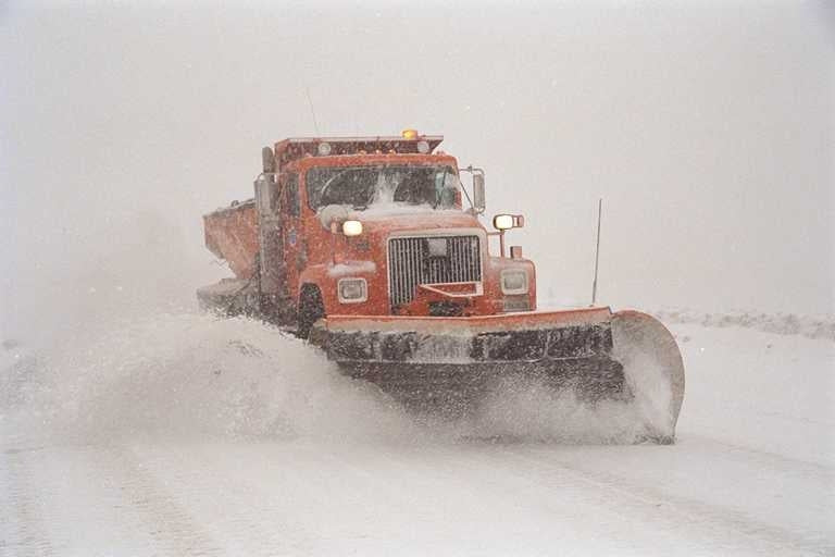
Heavy snow fell during the day Thursday and overnight into Friday in the Cascades. Temps on Thursday were much colder. Stevens had Easterly winds keeping them in the upper teens, so conditions yesterday on limited terrain were most likely very good. Warming occurred as forecasted Friday. Temps are right at freezing near Baker (Still snowing at the base), and slightly above in the south Cascades (33-34). Heavy snow will continue into Friday night with a slow cooling trend. Most of the high numbers above fell from mid or upper mountain locations. The north Cascades will stay cooler with 4,000 foot snow levels. The southern areas will be higher, perhaps 4500-5,000 early this morning before slowly dropping tonight. Avalanche Danger will rise significantly with this storm in the Cascades so don't venture into the Backcountry without knowledge, conditions, and reports (Your gear will not save you).
Cooling Friday night into Saturday morning should see a return of lower elevation snow for your first chairs. Saturday will see a continued trend of cooling and continued snow showers. Expect another 9-14 inches from Friday to Saturday for most of the WA Cascades. Saturday will be the best day to ride the Cascades.
Meanwhile in Canada heavy snow will be falling in the interior of BC. 2 feet plus are likely in the southern regions focussed near Red Mountain or perhaps White Pass with slightly less further East towards Fernie, This entire range will see significant upper elevation snow (Above 4500). Further north towards Revy amounts will be in the 12-18 inch range with cooler temps (Better quality). The colder air stays north until Sunday morning when southern BC gets a cooling trend and better quality snow that is decreasing.
Long-range brings a moderate storm to the Sierra Sunday night into Monday. This takes a southern route before sweeping north for XMAS eve into the Wasatch (Moderate) and Tetons (Light). Colorado will see XMAS day powder focussing on the southern or central zones.
A more significant system may happen late next week, especially for the 4 corners!
Enjoy the powder everyone,
Powderchaser Steve


