BONUS POST:
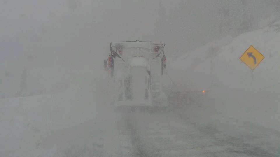
Yet another storm for Colorado will move into the Front Range Monday to Tuesday with the strongest push in the latter period. On Tuesday morning temperatures will be cold enough for snow in the Metro areas north of Denver and perhaps some slushy roads in the higher elevations of including Boulder, Castle Rock and the Palmer Divide. There is even a chance for some snow at lower elevations of the eastern plains Tuesday when the brunt of the system, heads towards Kansas. While it's not unusual to see snowfall in Colorado in the 2nd week of May, its not often we see snowfall as low as the metro areas that will likely accumulate on the grassy surfaces Monday night or Tuesday morning.
On Mothers day folks near Bozeman Montana woke up to enough snow to ride some powder in the upper elevations of mountains in the Gallatin Range. Below: Showdown Mountain in Montana(Closed) as of 8AM Sunday.

Below: Total precipitation has been above normal for the metro areas of Colorado and NE plains but well below normal west of the Divide and further south towards Colorado Springs. The SW sections of Colorado have come in the lowest (41% of normal) as of May 09, but had higher percentages back in March and April. Overall for most Ski Areas in Colorado we are below normal with the exception of areas along or east of the Divide.

Significant snow is likely above 7500 feet Monday PM to Tuesday AM. The models are in good agreement for some pretty hefty storm totals for mountains influenced by SE flow including Summit County, Eisenhower Tunnel and perhaps higher amounts towards Winter Park or Berthoud Pass including Rocky Mountain National Park. Looking at the models we can expect double digits by late Monday or early Tuesday. The highest totals are likely going to be found from I-70 north along or east of the Divide. Summit County is a solid wildcard especially Breckenridge that can do well with SE flow. The highest totals will come late Monday to midday Tuesday. Snow will also be falling on the western corridor of I-70 including areas towards Aspen (3-8).
Below: The American GFS model has been bullish for several days (The deepest solution). If this proves correct we could see up to 18 inches in some spots by midday Tuesday closest to the Divide.

Below: The NAM 12KM has also remained bullish for this storm and pushes a bit less moisture west of the Divide.

Below: The Canadian (GEM) coming up with less snowfall west of the Divide and a solid foot along the Divide.

Below: And finally the European Model continues to be the pessimist showing much less snow west of the Divide and perhaps 6-10 in the foothills west of Denver including Nederland, Georgetown and Evergreen with even less along the Divide. This solution is currently the Outlier of the several we looked at.

Below: Temps will be coldest late Monday to early Tuesday. You can see a sharp cold gradient impacting areas along or east of the Continental Divide (-8C at 10K). Temps will be near or just above freezing in the metro areas Tuesday morning closest to Denver. Cold temps are also noted east of Denver so as this storm draws energy over -70 towards the Kansas line there could be some impacts especially on the grassy surfaces. Temps will be warmer on the west side of the Divide with lower snow ratios (Liquid to snow).
: 
Bottom Line: Moisture will be falling from Monday to midday Tuesday. Highest intensity of snowfall will be late Monday to midday Tuesday. Temps are colder east of the Divide. Some snow is possible in the metro areas north of Denver or south including the Castle Rock areas late Monday and Tuesday. High confidence in 5-11 inches for many of the open Ski Areas (Breck, A-Basin, Winter Park) by Tuesday morning. Moderate confidence of 11-18 inches especially on the Divide. There is some low confidence signals of 18-25 inches on the ensembles. The highest totals from this storm, might fall just east of the Ski Areas that are open (Nederland could score).
ANNOUNCEMENT: Mountain Collective Pass rates go up on May 17th. Your 3rd bonus day for this pass will only be available prior to that date.
Please support Powderchasers by donating for our powder forecasts here. If you are interested in becoming a sponsor please reach out to us at powderchasers1@gmail.com.
Enjoy the powder everyone! This is likely the last post for the season.
Powderchaser Steve


