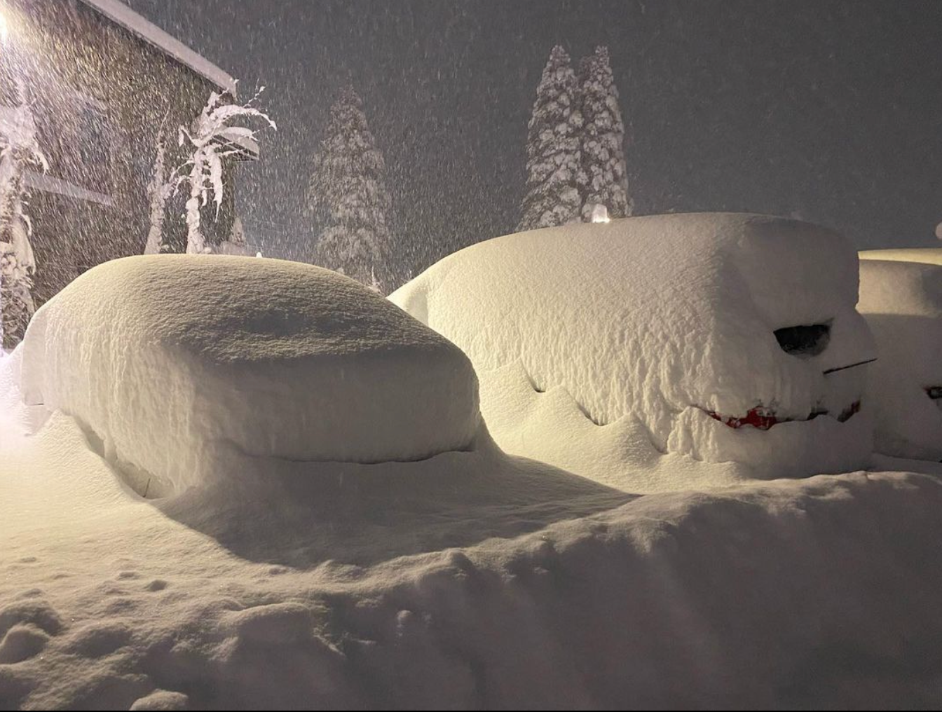
A deep trough will dig through the west this week, bringing light snow to Utah and Wyoming and heavy snow to Colorado, particularly the Front Range. Arapahoe Basin, Loveland, and Winter Park are the best resorts for powder chasing through the end of the week, with the best days of skiing likely being late Tuesday and Wednesday morning (The latter will be deeper).
Utah will see a bit of snow on Monday night, with 3-6” for Wasatch resorts and 1-4” at Park City. Conditions will be good with a bit of extra snow on Tuesday and residual snow from the day on Monday.

ABOVE: GFS painting storm totals between 5-8” for much of the Wasatch by Wednesday morning.
Storm energy and moisture arrives in Colorado on Monday afternoon, with the first showers starting in the upper elevation peaks before filling in overnight. The first surge of moisture arrives from the west and will quickly sweep over the central and northern mountains. By the time lifts are spinning on Tuesday, here are realistic overnight totals at resorts that are still running lifts:
- Arapahoe Basin: trace-2”
- Loveland: trace-2”
- Breckenridge: trace-1”
- Copper Mountain: trace-2”
- Winter Park: trace-2”
- Purgatory: 1-3”
The next phase of the storm - which ramps up on Tuesday morning - will be a jumbled mess of southwesterly, southeasterly, and easterly winds, making for a very difficult forecast. Precipitation will ramp up throughout the day and peak at resorts in the late afternoon after resorts stop spinning lifts for the day.

ABOVE: 6-hour precipitation forecast plot showing the bullseye right over Summit County on Tuesday afternoon and evening.
During the day on Tuesday (8 am-4 pm), I’m expecting the following totals. Keep in mind that this storm is coming in warm and wet, so the snow will be on the denser side. Chase high -elevation resorts like Arapahoe Basin or Loveland for the best quality snow:
- Arapahoe Basin: 3-5”
- Loveland: 3-5”
- Breckenridge: 1-3”
- Copper: 1-3”
- WP: 2-4”
Snowfall will really crank up on Tuesday afternoon and persist into the evening and night, especially in the Front Range. There is a shallow cold front that will drop the snow levels from 8,000 feet to around 6,000. it is unlikely that snow will settle on paved surfaces in the Denver Metro areas, but just outside on I-70 could be a mess.
The model agreement for this storm is surprisingly good considering its warm, dynamic nature. However, the American GFS model is more bullish than the Euro with precipitation in the Front Range on Tuesday afternoon. We are feeling good about strong winds out of the northeast delivering a very healthy dump on Tuesday evening, especially to resorts along the Continental Divide like A-Basin, Loveland, and Winter Park. However, don’t be surprised if the reported totals on Wednesday morning are on the lower end of this scale. These dynamic spring storms are difficult to predict and can often be a toss-up between different model solutions. Let’s take a look at expected overnight totals by Wednesday morning:
- Arapahoe Basin: 7-12”
- Loveland: 9-13”
- Breckenridge: 3-6”
- Copper: 3-6”
- WP: 9-13”

ABOVE: the big difference between the GFS (left) and Euro (right) on Tuesday evening. The GFS is painting a much wetter and deeper picture for Wednesday morning and keeps the storm energy closer to Denver.
By Wednesday morning, most of the precipitation will be done and the sun may even make an appearance in the afternoon! Temps will warm and continue to rise the Avalanche danger. Beyond that, another storm is possible out of the northwest on Thursday night - stay tuned for more details on that possible small clipper system as details materialize.
Bottom Line: Difficult to nail down positioning. Likely totals between Tuesday and Wednesday morning will be 12-20 inches or more in some of the higher elevation foothills. Ski areas might stay in the 9-18 inch range with both upside or downside tricks possible. Warm and dense Tuesday. Medium density late Tuesday night. Warming on Wednesday by 11 AM. Get after out early! Do not venture into the Backcountry unless you have the knowledge and proper gear. Gear alone does not keep you safe!
Please donate for powder forecasts here. If you swag us $100 or more, we are happy to send you a swag package (Shirt and stickers). We depend on your support and if you have read this far, you likely have scored powder this season. Please take one of our last opportunities this season to feed our powder bank. We also have a new Powder store, so you can also purchase some swag. Thanks for following Powderchasers and for your support for Pow. The $100 swag package won't disappoint.


