SUMMARY
Decent moisture will overspread the Cascades Tuesday/Wednesday with a cooling trend. A warming trend will follow midday Wednesday and continue into next week for the Pacific Northwest with continued snow/rain showers. The Rockies get teased with generally light or moderate snow, but it's likely a few exceptions might happen especially in the northern San Juan Range or just south of I-70 in Colorado. Snow will be falling in the Tetons and Wasatch once again albeit lighter amounts than the past several events.
Below: Huge slab avalanche in Cook City Montana on January 16th (Be careful out there)

FORECAST
There are 2 systems to speak about. The first is a weak wave of moisture pushing into the 4 corners late Monday night into Tuesday with light snow (Telluride, Purg, Wolf). Some of these flakes should reach the I-70 corridor in Colorado by late morning Tuesday. A decent trough enters the Pacific Northwest Tuesday with increasing moderate snow for the Cascades of Washington and Oregon. Bachelor, Timberline, Crystal, White Pass, Snoqualmie, Stevens, Baker and most of the Cascade Range will all see 5-14 inches of snow. The highest amounts are to fall in the northern ranges of the Washington Cascades. The Euro is a bit more optimistic for Crystal further south while the GFS is showing 12 inches plus for Baker. My best forecast combining all the models is 5-10 inches for most ranges with 7-15 inches near Baker. Some of this snow will fall Tuesday with the bulk being reported for Wednesday morning. Temps warm by midday Wednesday so quality may deteriorate late in the day.
That system edges into the Rockies Tuesday night with a general trend of 3-7 inches for the Tetons and Wasatch (Ride Wednesday). Compared to the past several weeks where over 90 inches has fallen in many areas of the Utah and Wyoming (3-4 week totals) this is a bit of a sleeper.
Colorado may end up winning the game combining the teaser on Tuesday (San Juans) and the snow that falls for Wednesday. The GFS has a general trend for 3-6 inches for the I-70 corridor for Wednesday (Snowing during the day) into Thursday (Last chair Wednesday will be the pick). The Euro has higher amounts for the northern San Juan range pushing perhaps to Aspen where 4-9 inches is possible by mid-morning Wednesday. The Euro shows less snow for I-70 (2-5). Regardless of the details, aim for western sides of Colorado from Aspen south into the San Juan Range. Not a huge storm, but could offer a sneak up noncrowded powder day in some isolated areas.
Below: Total snowfall through Thursday morning for the West.

EXTENDED
The longer-range models keep the Northwest unsettled late next week with warmer temps. The Rockies retreat to high pressure through the weekend.
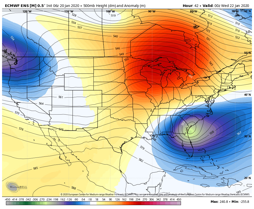
Below: Ridging for most of the west this weekend with the exception of unsettled but warmer conditions for the PNW.

The ensembles are advertising some weak or moderate troughs (Not a strong signal) entering the west towards the end of January (28th timeframe). These troughs are likely to favor the southern Rockies and perhaps pushing into the Front Range of Colorado at some point during this timeframe.
Below: Longer range ensembles showing a trend for weak or moderate troughs favoring the southern Rockies and perhaps the Front Range of Colorado and New Mexico.

Enjoy the powder everyone! Please support our sponsors and check out our custom concierge service if you want to chase powder.
Powderchaser Steve


