
Summary:
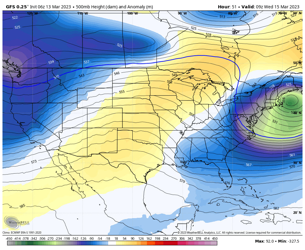
New England is about to score a decent storm with the west still pounding from yet another Atmospheric River that will bring deep snow to upper elevations with a mixed bag at the bases. The Rockies score a flip flop of cold-warm-cold with tough timing for any blower. Cream will be on the menu but wait for the frosting.
Forecast:
There's still some hope for a bit of decent quality powder in the next few days, but if you are not picky on density, have some phat boards this will be the surfers dream. A strong A-River will enter the Sierra Monday night. The northern Sierra picked up 8 inches Sunday night at 8000 feet (27 degrees) and 0 inches at 6200 feet (34 degrees). Snow will be dense, smooth, and some resorts are still spinning lifts! This is all going to get ugly in the next 24 hours. Get out by Monday afternoon. Hefty moisture will be falling through Tuesday evening with significant warming late Monday. Snow levels will likely rise to above 8,000 feet with flooding in the valleys and structural collapse in some areas especially Tuesday with increased water load. I see 0 reason to chase to the Sierra aside from Monday morning where upper and mid elevations have some fresh pow. Bottom Line Sierra: Get out by late Monday. Some smooth powder at mid elevations Monday. Colder by Wednesday. Perhaps return for some snow for the weekend.
Below: 4-6 additional inches of water noted for the Sierra. This is great for the water shed, but not for skiers this week, nor for infrastructure.

The plunger of moisture has started to spread into the Cascades where 3-7 inches has fallen at resorts with near freezing temps at the bases. Snow continues under the warmer air, and cooling by late Monday. Baker looks to be the deepest by late Monday or Tuesday (7-16). Quality might improve from wet to medium with some colder air on the backside of the moisture. Oregon and Washington both have some chase merits, but overall the quality will be somewhat dense. Bottom Line PNW: Has opportunity with temps in the low 30's at the bases and moderate snow for many regions. Heavier snow possible for Baker. Northern Idaho has merit for Tuesday.
Idaho scores well Monday PM to Tuesday PM with 5-10 inches likely for northern areas (SandPoint) initially falling with warmer air and finishing cold for 1st chairs Tuesday. The western mountains near McCall grab steady light to moderate snow at the mid elevations with rain/snow at the bases (Slow ramp up of high density cream). Sun Valley will see higher totals (Especially areas north to Stanley) that starts out on the cool side Monday- Monday night (3-7) and could deliver some decent first turns Tuesday (Snowing). Temps will be rising Tuesday but it's possible the most significant warming holds off until midday. Some areas will grab 10-18 inches by early Wednesday especially north of Ketchum above 8K feet. It will be snowing heavily late Tuesday to the evening with rain/snow mix in the valley. Avalanche danger will likely go from High to Extreme. There was an unfortunate avalanche fatality on Sunday near Stanley (Snowmobile). My friend Ray in Ketchum said he counted 14 slides when driving from Hailey to Ketchum. Wednesday will be a slow day to open terrain.
Below: Total snowfall through Tuesday morning favoring extreme northern Idaho, Central Idaho, and the Tetons. Starts out cool but warms significantly on Tuesday.

For the Tetons and Wasatch some hefty totals are possible. The Tetons benefit from a moderate dump Monday afternoon to Tuesday morning (3-7) and temps near freezing at the bases. Unfortunately, that same warm front spreading from Idaho nabs Wyoming at some point Tuesday midday, thickening up the snow while intensity increases. Moderate steady dense snow will fall Tuesday mid morning to late PM or early Wednesday. Valley Temps might reach 36-37 by 2PM Tuesday. AVY danger will rise, and I would not be surprised to see closures for Teton Pass and other roads near Alpine by Tuesday afternoon or evening.
Below: Total snowfall for the upper peak of JHMR shows a steady chug from late Monday through early Wednesday (March 15). This will start out on the cool side (21-22 at the summit) Monday-early Tuesday, before rapidly rising Tuesday during peak snowfall during the day. Snow will continue albeit lighter intensity late Tuesday to Wednesday with a sharp cooling trend (Upside Down Snow through Tuesday night before sharp cooling). Averaging out this map expect totals from 10-18 inches for the summit of JHMR.

This is far from a perfect storm for Utah. Moisture begins in the Wasatch late Tuesday and peaks into Wednesday. Temps are rising Tuesday night to 26 degrees at 10K feet. That brings a high degree of certainty of thick dense snow, rain-snow mix possible at 7500 or even 8K. Temps cool slowly early Wednesday (Before daybreak) with snow continuing. It's possible that this quagmire of cream actually skis ok by midday Wednesday if we get another 3-7 inches of medium density on top (It's possible). Bottom Line: Road Closures are 100% for LCC, and perhaps even BCC (Has not closed this season). Snow density will be thick cream but there is some hope of moderate frosting Wednesday during the day (Slow openings). Stick to higher elevation resorts or bring your waterskis.
Below Alta grabs highest intensity from late Tuesday to noon Wednesday (Very warm temps migrating cooler by daybreak Wednesday). You can see another smaller wave of moisture due for Saturday to Sunday.

Colorado appears to repeat the storm from last weekend, with leftovers aimed at the central and southern mountains. Crested Butte, Aspen, Highlands, Silverton, Wolf, and Purgatory would be my early picks for Thursday morning. I don't have confidence yet in as much snow falling east over the core of I-70 as the last storm. They will see snow but SW flow is typically not a great set up (It worked last time due to the very dense atmosphere that had little to do with orographic lift or wind direction). We will update as we get closer.
Finally, perhaps your chase should take you to New England where a decent storm will bring double digits favoring the southern or central regions of Vermont, New Hampshire and Maine. Western New York, and most of interior MA will also perform will with this storm!
Below: Total snowfall through Wednesday morning for New England. 12-22 inches are possible for many resorts favoring the southern or central regions (VT, NH), Berkshires, with 9-14 inches further north in VT, NH and perhaps northern Maine (Wildcard).

Let's look at the extended as it is not over!
Extended:
California gets a brief break late this week followed by a weaker storm this weekend. The models are advertising a return to stronger storms as early as Tuesday (March 21), and continuing every 24-48 hours into late next week. Some of these storms seem to have warm air initially followed by cold fronts. The path from the Sierra this weekend looks to take a southerly route over the 4 corners where the preceding storms in week #2 look to favor the core of the Rockies once again. Bottom Line: Unsettled conditions are likely to continue beginning this weekend and extending into the following week.
Below March 19th- Moderate system for the Sierra by Saturday drops south over the 4 corners pushing some moisture north.

Below: March 22nd -Wednesday- shows another trough approaching the west by midweek.

Below: Yet more low pressure may be upon us towards the end of week 2 March 24th with what could be a deeper system.

ANNOUNCEMENT: Heli Ski In Alaska! Alaska Backcountry Guides is offering an unheard of special in Valdez. Buy 3 seats on the Heli and get 1 free from March 19-25. You get a free Concierge package from Powderchasers when booking good for next season!
Don't forget to join our Concierge program for custom chase forecasts or donate here. Our concierge program will provide you custom forecasts to insure you get into the deepest snow (Our chase secrets). Donations keep our free forecasts going. Members rarely miss the deepest days. If you have scored powder from reading our free forecasts please donate to our site above.
Powderchaser Steve @powderchasersteve on Instagram


