Winter is upon us! Big snow is hammering the Western US this week with more on the way. Great chase targets include California, Utah, Colorado, and Wyoming, among other places in the West.
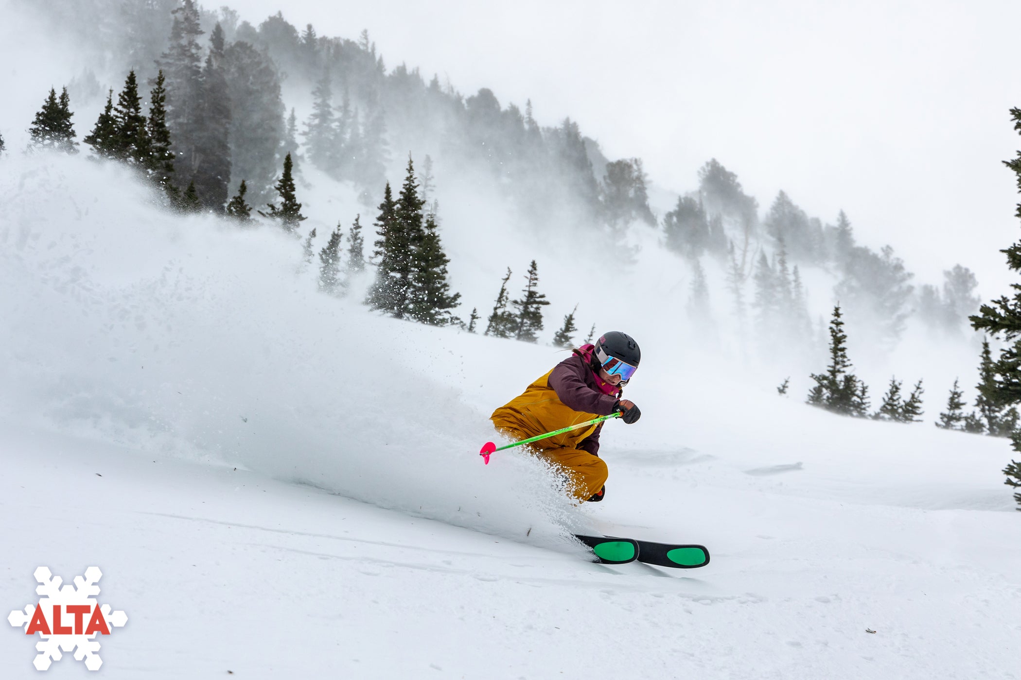
Here are some totals and images from the last storm:
- Mammoth Mountain: 23”

- Jackson Hole: 21\"
- Palisades Tahoe: 20”
- Kirkwood: 19”
- Mt. Rose: 19”
- Sugar Bowl: 17”
- Alta: 12\"

- Sun Valley: 6”
Conditions will remain cold and skiing will remain high quality throughout the next few days before the next storm begins in California on Saturday and areas further inland on Sunday afternoon.
This next storm is an interesting setup and one that could make for quite the chase in California. A deep trough is digging in from the north over the Pacific and driving a lot of warm, moisture-rich air toward the West Coast. Since this storm is so far south, the PNW will miss a lot of the action and will instead be focused on California. And since the origin of this moisture is the tropical Pacific, temperatures will be a little bit warmer than the last storm and will bring additional low-elevation rain and mixed precipitation. Check out the impressive moisture plume associated with this system:

Precipitation will begin on Saturday morning in Southern California and will gradually work its way north. By the afternoon, precipitation rates in Tahoe will pick up considerably with mixed precipitation down at lake level and all snow above 6,500-7,000ft. Snowfall will peak overnight between Saturday and Sunday. By Sunday morning, conditions will be excellent at resorts in the region, with 12-18” falling on the West Shore and slightly lower totals in the north and east. Check out the NBM forecasted snowfall on Sunday morning. I think this is under-forecasting totals a bit, but the spatial distribution looks right.

Steady snow will continue throughout Sunday and drop an additional 5-8” throughout the day. Precipitation rates will drop considerably overnight on Sunday. By Monday morning, we’re likely looking at totals ranging from 20-30” along the West Shore with totals 5-10” elsewhere around the lake. The best chase targets around the lake this weekend include Kirkwood, Palisades, and Sugar Bowl. The southwest flow associated with this system means that Kirkwood will likely hold the best powder skiing opportunities throughout and after the storm.
After moving through California, the moisture will surge northward, spreading first up to Oregon and southern Washington. The precipitation will then fan inland, sweeping through Idaho and Wyoming on Sunday morning and Utah and Colorado later in the evening on Sunday into Monday. Check out the messy pattern forecasted by the GFS through Tuesday afternoon:

Accumulations in Oregon and southern Washington will range from 2-5”, not much snow but it will add a nice fresh layer on top, making for nice ski conditions. Jackson Hole and Grand Targhee are in for 8-15” by Monday. Little Cottonwood Canyon is looking at 12-15” by Monday morning with Park City in for lower totals in the 8-12” range. By Tuesday morning, Colorado’s northern mountains are looking at 5-10” (with higher totals at Steamboat), the central mountains at 8-12”, and the southern mountains at 10-20”.
ANNOUNCEMENT:
The last day to get an Ikon Pass is December 8, so make sure you jump on that before it's too late! Powderchasers and our forecast staff are supported by our readership, so if you have not donated, please do so here or join our powder concierge program where we provide 1:1 trip planning for chasing, last-minute custom forecasts, and the best pow day of your life. Support our sponsors and be sure to follow our Instagram and Facebook page @powderchasers.
Should be a great week of skiing!
Powderchasers Weather Team.


