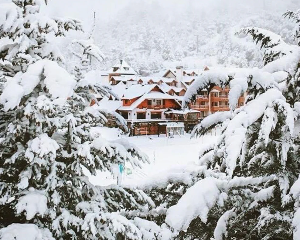
The first major storm system of the 2023 South American season will hit Chile and Argentina this weekend, dumping 1-2 FEET of snow and getting local resorts prepared for winter. We have relatively high certainty about the first two storms (Saturday night-Monday morning and Monday night-Tuesday afternoon) and more uncertainty for a big storm mid-next week (starting Tuesday/Wednesday).
Storm #1 begins on Saturday night and will sweep from south to north. Saturday night will bring fairly small accumulations to most resorts, with most of the snow concentrated in the south (Bariloche region, Pucon, and as far north as Corralco). Consistent snow levels in this southern region will hover around 5,000 feet, although flakes and accumulations are possible below that.
Temperatures will continue to drop during the day on Sunday, allowing snow down to 4,000 feet in the south as snowfall wanes throughout the day. In the north, snowfall will intensify during the day and peak in the evening and overnight. Virtually all resorts will be done by Monday morning. Here are some possible totals that I see at resorts from storm #1:
- Cerro Bayo: 1-3”
- Cerro Catedral: 3-7”
- Chapelco: 0-2”
- Pucon: 12-18”
- Corralco: 12-18”
- Caviahue: 4-8”
- Las Leñas: 6-10”
- Valle Nevado: 4-8”
- Portillo: 6-10”
Keep in mind that this storm is on the warmer side, so these numbers will fluctuate quite a bit with elevation. Upper elevations could reach 2+ feet!
Storm #2 will last from Monday night to Tuesday afternoon (Wednesday afternoon in the north) and will be colder than storm #1, allowing for more low-elevation snowfall (around 1,000 feet below the first storm). This storm will mainly affect the south (mostly south of Caviahue and Corralco), but will still bring a dusting further north. By the end of the storm, here are some probable storm totals:
- Cerro Bayo: 4-7”
- Cerro Catedral: 4-8”
- Chapelco: 4-8”
- Pucon: 2-4”
- Corralco: 7-12”
- Caviahue: 2-5”
- Las Leñas: 0-trace
- Valle Nevado: 2-4”
- Portillo: 2-6”
Beyond that, details remain fuzzy, although another storm looks imminent beginning Wednesday morning in the south and could provide snowfall all the way into next weekend. This storm looks like the most potent of all. Again, the models don’t have great agreement on this yet, so don’t be surprised if the forecast deteriorates in the coming days.
For anyone crazy enough to try skiing, Corralco may be your best bet, where an additional 20+ inches could fall by Friday on top of an already decent base. Pucon & Catedral will also pick up snow in the 10-20+ inch range. The ensemble models are indicating that this storminess will linger into the weekend, so totals could really stack up!
Check out the below forecast, forecasting multiple feet of snow on the upper peaks of the mountain ranges and 24+ inches for much of the Andes:

The models are indicating a strong stormy trend heading into the end of May and beginning of June with storm after storm slamming into the Andes, especially in the stretch between Bariloche and Caviahue/Corralco. Check out the incredible 16 day precipitation anomaly from the American ensemble:
Please donate for powder forecasts here. If you swag us $100 or more, we are happy to send you a swag package (Shirt and stickers). We depend on your support and if you have read this far, you likely have scored powder this season. Please take one of our last opportunities this season to feed our powder bank. We also have a new Powder store, so you can also purchase some swag. Thanks for following Powderchasers and for your support for Pow.
For those itching for South American ski season, here’s a list of projected opening days:
CHILE
El Colorado - June 17
Valle Nevado - June 23
La Parva - June 24
Portillo - June 25
Nevados de Chillan - July 1
ARGENTINA
Cerro Bayo - June 16
Cerro Catedral - July 3
Chapelco - June 20
Corralco - June 24
Caviahue - June 30
Las Lenas - June 17
Check out our online store and buy some swag!
Powderchasers Weather Team


