OVERVIEW:
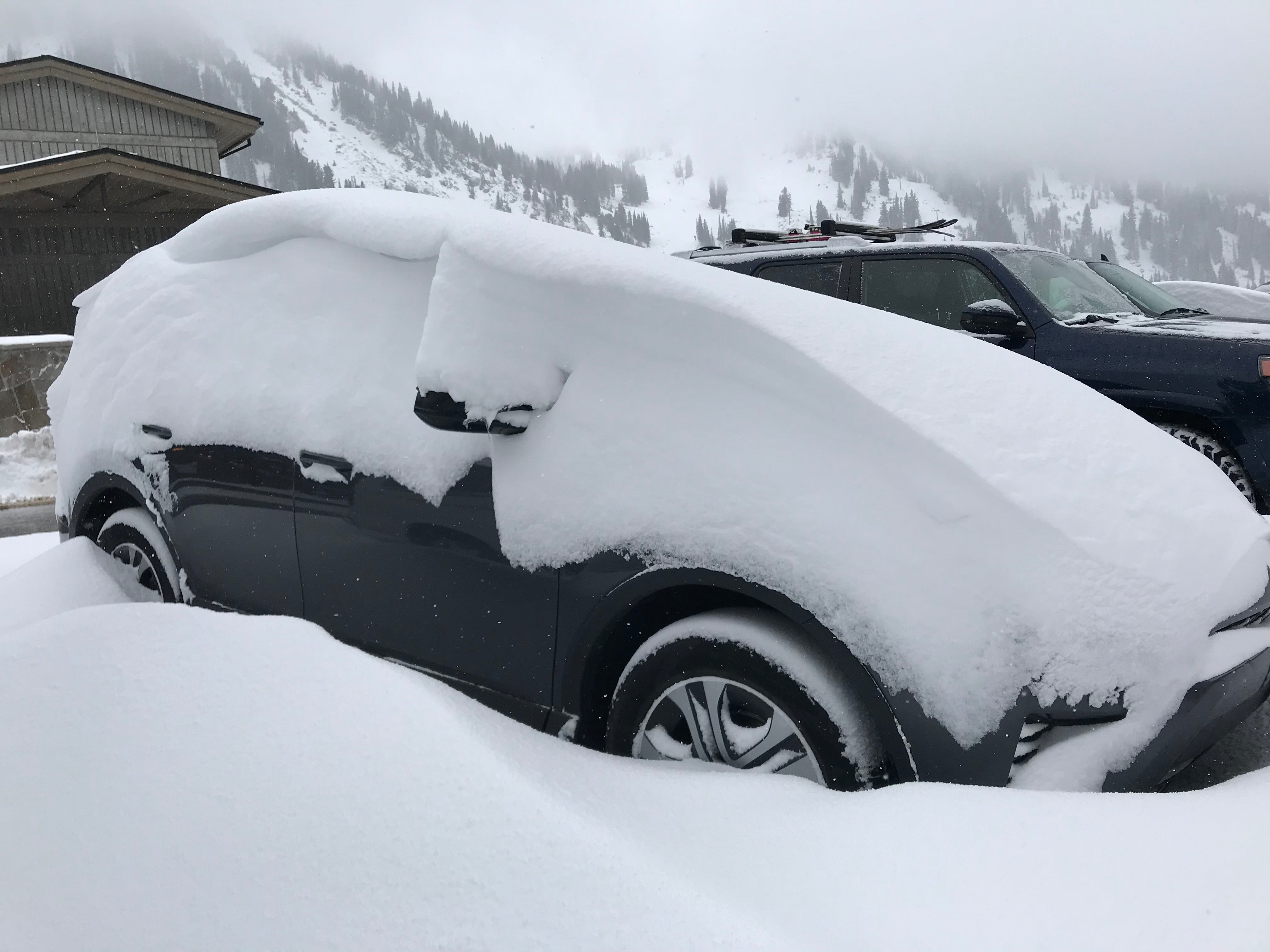
Light snow showers are currently falling over most of Colorado this morning and should continue throughout the day. Some snow is also falling in central Montona and the Tetons. Snow will taper off later today. A warming trend for much of the west will be followed by a weak cold front midweek kicking off another round of light snow. Another and perhaps stronger system is due for the weekend that enters the Pacific Northwest.
FORECAST:
Light snow continues to fall primarily in the Tetons (2 inches new at the time of this post and still snowing) and most of northern and central Colorado (generally 1-2 inches). Colorado picked up another 2-4 inches during the day Sunday over many areas. Telemetry from the Tower Snowtel near Steamboat shows an inch of moisture fell yesterday so my guess is that the ski area picked up around 12 inches at the summit (Not confirmed). Models today, show a light refresh for most of Colorado (Open areas are Keystone and A-Basin). That is what I had forecasted a few days ago (\Ski some powder as it's snowing Sunday and have a light refresh for Monday\"). Total snowfall for Colorado's open resorts was around 6 inches (It's still snowing lightly) and 10 inches in the past 4 days. Expect another 2-3 inches today for the refresh.
Below: Keystone snow camera by late Sunday had reached 5 inches (AM/PM snow that day).

Snow totals in Utah were impressive, with 13-14 inches overnight Saturday (4-5 from a few days earlier) in Little Cottonwood (Slighter lower amounts in BCC), and perhaps 5-7 in the Park City mountains (Could be higher amounts with most automated telemetry or cameras offline). The Cascades also nabbed a solid dump of double digits especially Stevens Pass and Crystal Mountain on Friday/Saturday.
I was able to score my first powder day of the season skinning up a section of Alta on Sunday where I measured 15 new inches (Above the boot) and had my first faceshots of the season. Storm totals from the previous 4 days were around 20 inches. The snow was set up below (Cushion) with a fresh coating of 14-15 inches on top.
Below: Powderchaser Steve getting at it early on Sunday at Alta (Yes, snowboarding at Alta).

Warming early this week (Rain showers in the PNW with upper elevation mixing) will be followed by a weak cold front by Wednesday. That should kick off another round of light snow for most of the northern and central Rockies (Wyoming and Colorado favored). It appears that areas closest to the Divide in Colorado including sections of Summit County should be favored for Thursday morning. The Tetons should also score a tease by Wednesday.
EXTENDED POW
The ensembles are pretty bullish for the end of this week. A stronger trough will enter the Pacific Northwest by Saturday with a cold front. This will migrate into the Rockies at some point late this weekend with a decent chance of snow for the Cascades and areas of Montana, Wyoming (Utah wildcard) and Colorado. The ensembles show it's possible that some decent amounts land somewhere in the west by early the following week (Colorado may be in good scoring position). It's too early to forecast with any confidence at this point
Below: Ensembles showing a decent trough starting to enter the west by late Friday night that is likely to impact the PNW, and a decent section of the northern Rockies before dipping south late this weekend and early next week.

Please support Powderchasers by in a donation or joining our custom concierge program. (Keep you powder dreams alive).
Powderchaser Steve


