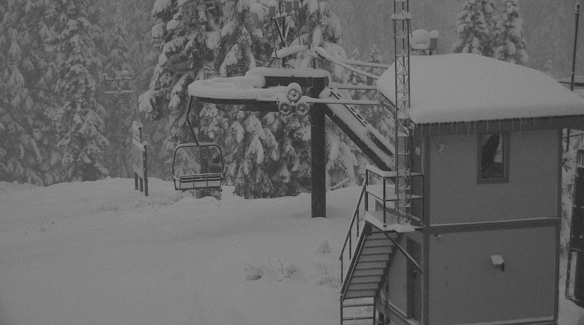
Significant snow fell at mid and upper elevations of the Pacific Northwest. I watched the snow telemetry keep building up quickly at Crystal yesterday with 3-4 inches in a single hour at one point in the morning. 18-20 inches appears to have fallen towards the summit of Crystal. WInds initially from the SW favored Baker earlier in the storm cycle and then shifted to the West/NW. Stevens Pass benefited from some convergence zones (Cold air pushing west against the Cascades against the mountains creating good lift and moisture). There is no telemetry working at Stevens currently but pictures from the webcams looked deep. Folks were skinning and skiing yesterday at Crystal!
Below: Dumping at Crystal on Saturday afternoon.

The Tetons and central Idaho came up slightly short with my best guess of around 9-14 inches at upper elevations at many resorts (Brundage reported 5). In Utah, the cold front came through late afternoon with a full force as 9 inches had fallen in the Cottonwoods in just 3-4 hours by evening. Park City looks to have reaped around 13 inches (Town was deep last night). Brighton around 15 inches, Alta near 18-19 over the past 3 days.
Below: The snow interval is showing 17 inches at Alta per the Collins snow telemetry (NWS). (New since yesterday morning). Higher amounts will be at the summit.

Colorado (The wildcard) is reporting storm totals around 6-8 inches at many resorts this morning (Past 2 days). The webcam at Loveland seems to have 6 from last night. Same with Winter Park! Light snow will continue to fall especially in the Colorado mountains with strong winds. Cold air combined with decent downsloping orographics should bring another 2-4 inches by Sunday night to many areas. You may have a light refresh for 1st chair on Monday.
Below: Loveland Ski area webcam this morning (Not open).

Enjoy the powder everyone! I'm out the door for some skinning this Sunday morning.
Powderchaser Steve


