Summary:
While on the chase, we are updating the post as my head spins with face powder from today at Sun Valley. Multiple feet will continue to fall in the Sierra over the next 30 hours with snow continuing for south central Idaho through Thursday morning. The Tetons are my wildcard pick.
Forecast:
Sun Valley started with 4-5 early this morning and by 3PM had 17 inches of blower! S -SE winds funneled deep moisture from the south directly into their \Donut Hole\" all day. It is still snowing heavily as of 9PM Wednesday. Expect new snow to be 6-14 inches by opening Thursday. Total snowfall from the storm will exceed 28 inches. It was blower pow, but if your stomach has sank \"I missed it\" there is a crust layer underneath and it was evident especially this morning. That should disappear by Thursday as temps are warming and density increasing (Upside down). UPDATE: It's Thursday morning and Sun Valley as forecasted nabbed and additional 12 inches on top of the 17 from Wednesday. It will be deep (Still dumping with 29 inches in nearly 24 hours).
Today: Sun Valley Idaho Wednesday- Photo: @powderchasersteve via instagram

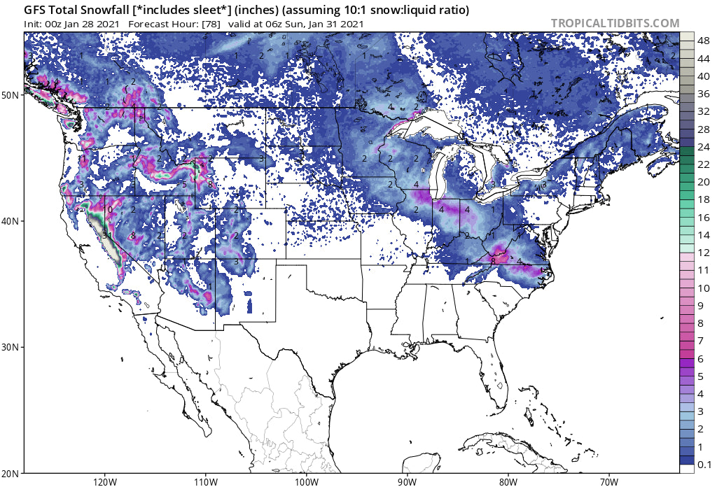
Below: Total new snowfall for Idaho- Look at the pink zone in the slot of Sun Valley (13.1). Thursday will be deep. This map also shows decent snowfall for Wyoming, however the highest amounts might fall in Teton National Park. S winds are tricky for JHMR, so it's a bit hard to predict.

In the Sierra I am seeing 2-3 foot storm totals thus far with strong winds at the ridges. Another 2-3 feet is likely from Thursday night to Friday morning when things start to wean. Thursday will be epic with snow falling through the day and starting to wean at night. Chase for Thursday and hope that new terrain opens Friday and Saturday. You will likely score rope drops from Friday to Sunday. Game on Sierra!
Below: Total additional snowfall through Thursday afternoon for Northern California.

For the Rockies, all eyes are on Idaho (Mentioned above), and perhaps the Tetons. Latest model trends show the Tetons grabbing 4-8 inches by 9AM Thursday. Another weak wave will hit the Tetons Thursday night for a moderate freshening for Friday, and once again for Saturday. Slow build ups of 3-7, 3-7, 3-7. The sum totals will be respectable but once again there is unlikely to be any double digit overnight dump. They could get close however.
Below: Total snowfall for the Tetons through Saturday (Slow build up each day) with respectable totals. Utah gets grazed, however some models show higher amounts over the Ogden area mountains for Saturday. There could be a sneak up powder day somewhere.

That system over the Tetons edges into central and northern Utah with light or moderate snow for Thursday. The Ogden area mountains show the best odds of deeper pow (Snowbasin) with the SW wind direction and location of the highest moisture.
Colorado gets teased starting on Saturday with a focus on the central or southern mountains. This is not a large event. Looks like 4-7 for Telluride, Wolf, Purgatory, Silverton, and perhaps 3-6 for Aspen or CB. Further east will see less (2-5).
In the long term update for chasing powder I am watching a potent system for the Sierra next Monday that will likely migrate over much of the Rockies by Tuesday/Wednesday. It currently takes a southerly track, but current models show a decent moisture feed north over the Wasatch and even perhaps Wyoming.
Back to planning for tomorrow.
Enjoy the powder everyone! Follow me on Instagram @powderchasersteve.


