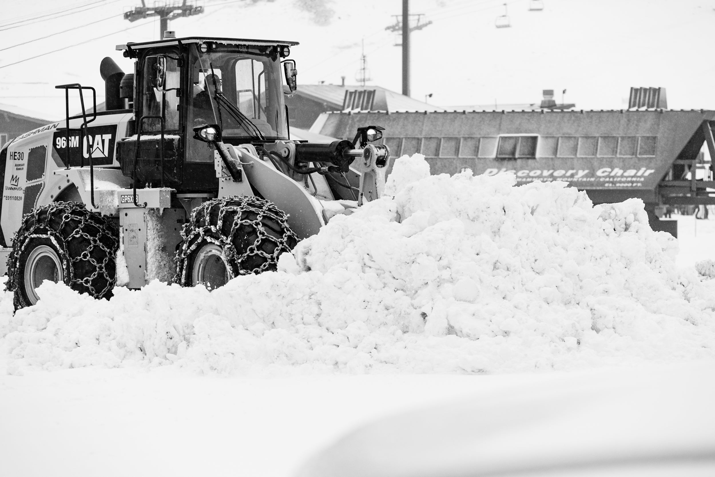
The largest storm of the season so far swept through the Western US this week, dropping as much as 4 feet at resorts in California and Utah with slightly lower totals in Montana and Wyoming. Read on for your 10-day forecast, storm recap, and an updated ENSO seasonal forecast.
Below: Liquid totals from the past storm cycle

Looking ahead, the next few weeks look high and dry out West aside from a small storm this weekend into early next week. That storm should drop a few inches across the West, with the highest totals being found in the northern Sierra, southern Oregon, and southern Colorado:
Announcement: Powderchasers and our forecast staff is supported by our readership, so if you have not donated, please do so here or join our powder concierge program where we provide 1:1 trip planning for powder, last-minute custom forecasts and steer you to the deep. Support our sponsors listed on the webpage and be sure to follow our Instagram and Facebook page @powderchasers.
Below: Weak storm bringing additional snow albeit light for the PNW and Rockies. Colorado is likely to see some light snow in the Metro areas by Monday/Tuesday. Temps will be colder this week.

Beyond that storm, high pressure will take over and block storm energy and moisture to the north. However, the good news is that this ridge will not lead to a major warmup and will cause temperatures to remain near to just barely above normal. The models are keeping the West fairly dry until sometime around the 20th when better odds for storminess return. This forecasted pattern shift is reflected in the GEFS ensemble PNA pattern forecast (negative is better for the West) shown below:

The same ridge that will affect the West will also build over Alaska, blocking moisture and increasing temperatures considerably. However, before then, Alaska will get dumped on this weekend into next week, with the American GFS model forecasting over a foot of snow:

After that, the ridge will build and block storm energy from the entire North American west coast, forcing storm energy to dive south into the Eastern US:

This will bring elevated chances of snow for the East Coast through mid-November, but the exact specifics remain unknown. Stay tuned for another Powderchasers forecast with updated details soon.
In the meantime, let’s take a look at some reports and photos from around the West from the last storm system.
MAMMOTH MOUNTAIN - 49-70”- 11/25 lifts are open with 3 more due this weekend.


https://www.instagram.com/p/CkyeDdZJH5B/?hl=en
ALTA - 35”
BRIGHTON - 31”
https://www.instagram.com/reel/CkyyU4tu5T9/?igshid=MDJmNzVkMjY%3D
https://www.instagram.com/p/CkzWHUAJRFR/?hl=en
SOLITUDE - 22”
https://www.instagram.com/p/CkwBnmEgWJR/?hl=en
JACKSON HOLE - 36”
https://www.instagram.com/p/CkwjvDzvTgC/?hl=en
Park City - 40 inches in 7 days.
The NOAA released its updated El Niño Southern Oscillation (ENSO) discussion today, providing updates on the current ENSO conditions and forecasts. Unsurprisingly, La Niña conditions have remained since the last update and are forecasted to persist throughout the winter, with the NOAA assigning a 76% probability of La Niña conditions for December-February. However, the odds of a neutral spring have increased, with the NOAA giving a 57% chance of a neutral February-April. This might begin to push the jet a bit further south but it's a long way away time wise.

Fingers crossed for a strong end to November. Stay tuned for updated forecasts. Many ski areas are opening this week and next. Vail opened today (Friday). Mammoth is popping ropes and opening additional chairs this weekend. Solitude and Brighton are open. Alta opens next week. Some resorts will be able to open with significant terrain. I you want to become a sponsor please reach out to us at powderchasers1@gmail.com
Powderchasers Forecast Team


