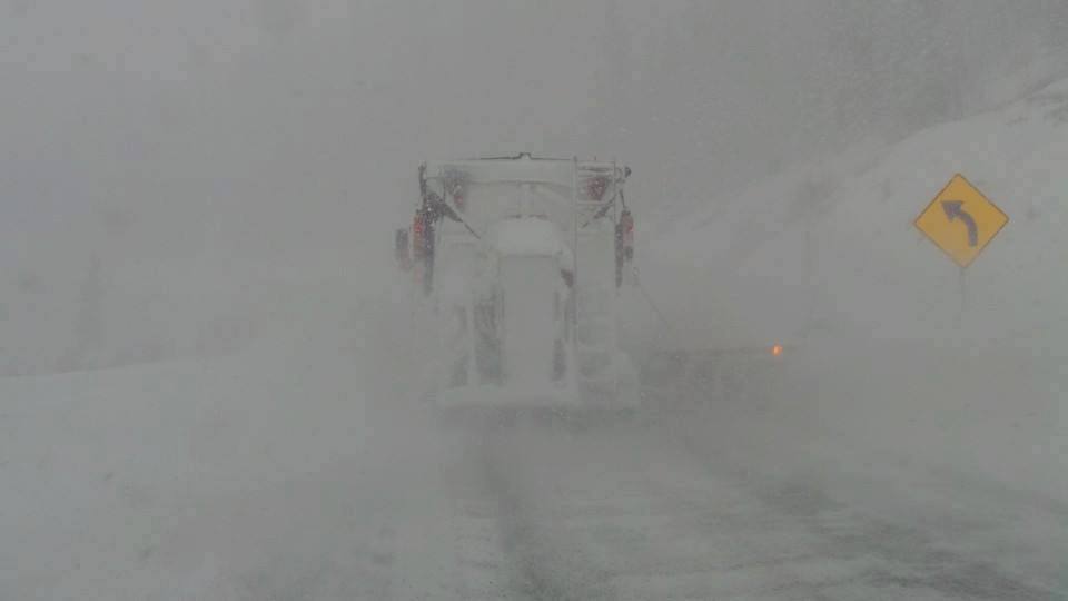
Quick update! I chased to Solitude this morning from Pocatello Idaho (4 AM departure) and caught the 11 inches that fell before 9 AM Sunday morning. I am currently pulled over at the Bonneville Salt Flats in Utah (Near NV border). Where next?
Below: I am contemplating my next move from the Bonneville Salt Flats in Utah right now! That decision may take me all night.

Most of the previous forecast panned out with 5-11 inches in the Tetons last night, 5-11 in Utah (Warmer), and 1-2 feet for the southern Sierra who was favored last night. The Bust was Colorado where I forecasted 6-12 with a notation \"You may get stuck with 6\". I believe most areas were in the 2-4 inch range from looking at webcams, however, its possible Wolf Creek caught up during the day. Someone, please chime in if you scored pow in Colorado today.
While on the chase, can only give you a quick look at the models. Significant snow will be falling (Lower temps- Good quality) in most of the Sierra Sunday night-Tuesday. Winds will be strong from the SW (Lift closures are likely). Snow intensity on Monday may exceed 2-3 inches per hour providing significant avalanche mitigation delays. Some areas may only open limited low angle terrain? While that's my hunch, my optimist (Endorphins) are saying \"get in line early Monday and hope for the best\".
Expect 30-45 inches of additional snow above 7,000 feet through Monday night. Additional snow may fall on Tuesday with winds diminishing.
The models for the rest of the west are looking decent. Steady light to moderate snow will continue in the Tetons Sunday night into Monday. Overnight amounts look to be 4-6 (Favoring JHMR and Teton Pass) with another 4-5 during Monday (8-11 for the short term through Monday afternoon). Additional snow will fall Tuesday and Wednesday (Light to moderate continuous).
Brundage had 11 inches last night (Wildcard on my last post) where Sun Valley came up short (5 inches). Significant snow will be falling at Brundage tonight/Monday (6-12) while SV grabs moderate amounts (5-9). I was in position for Sun Valley this morning and ended up at Solitude at 7 AM
Below: Brundage scores!

The Wasatch keeps us on our toes with another moderate dump likely Sunday night into Monday (5-11 at the upper peaks). I think amounts Sunday night will be lower than what we saw this morning. You may come up on the short side of this spread. SW flow will favor Big Cottonwood. Today's dump landed over 14 inches at Brighton this morning. Slightly cooler temps for this storm may have me looking at Snowbasin, Park City, or Deer Valley or Brighton that all score with SW winds. Lower elevations who did not land much snow today should do okay tonight. Short term High Resolution models are shifting more moisture north into Beaver Mountain near Logan. Winds may be strong at times so upper lift closures are possible at higher elevation resorts (Snowbird, Brighton, Alta). My confidence in a deep overnight dump is on the conservative side.
Short term High Resolution models are shifting more moisture north into Beaver Mountain near Logan. Winds may be strong at times so upper lift closures are possible at higher elevation resorts (Snowbird, Brighton, Alta). My confidence in a deep overnight dump is on the conservative side.
Oregon, finally gets into the picture with 6-10 inches likley favoring the northern and central Cascades (OR). Plan to ride on Monday.
In Colorado, light or moderate snow showers will continue to favor the western slope, Elks near Aspen and the San Juan mountains. Crested Butte will also grab a light teasing. Nothing is hitting me that's long term chase worthy until late Tuesday and Wednesday where several inches will fall favoring most of the mountain ranges. Steamboat, Aspen, Copper, Vail, Crested Butte, Telluride, Beaver Creek and most of the central mountains are favored. Cold air will aid in the quality. Get ready to chase.


