
Summary:
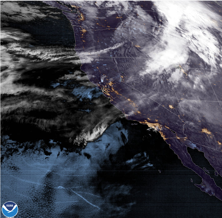
After rain fell in the Cascades all night a very strong cold front has plunged temps below freezing. That cold front is racing over the Cascades and Rockies. Snow is falling in the Tetons and most of central Idaho currently albeit warming initially. Colder air will filter in by late PM Wednesday.
Forecast:
Looking at Telemetry from the Cascades most ski areas lost around 10 inches of base depth with the significant rain event that occurred in the past 12-20 hours and Mt. Baker Ski Area will be closed on Wednesday due to fallen trees on Highway 542! Who remembers back in December 2012 when fallen trees closed 542? Heavy snow fell Monday night (10-18 inches) for most of the Washington Cascades prior to the rain event on Tuesday. Avalanche Mitigation Tuesday was extensive with some resorts either closing or limiting terrain. Today will be met with some light high-quality snow especially in the northern sections of Washington. Get ready to ride what might be a frozen mank (Uneveven, wet-frozen variable) layer below. If you are lucky the rain in some cases might have smoothed out bumps so any additional snow might actually ride decent. Please comment if you are riding the PNW!
Meanwhile in Idaho Brundage reported 11 inches in the past 24 hours, Sun Valley-4 and Tamarack-4. Some additional snow will be falling in these areas on Wednesday morning. Snow quality will be creamy. The pics yesterday at Brundage looked surfy and fun.
In the Tetons, 2-4 inches fell overnight with cold temps (High quality). Unfortunately, the warm pacific air that initially brought Rain to the PNW is going to rise, temps, this morning to near or above freezing at the base areas. Moderate wet snow will be falling for most of Wednesday with an additional 3-7 inches likely by 5 PM. Upside down snow (Cold to warm) can be an experience to ride but it's hard to explain it in writing. Perhaps smooth surf on your turns followed by a sink in of a broken pillow below. This will also raise the Avy danger combined with the strong winds. The cold front over the PNW will move in late in the day with an additional few inches of blower to top off the creamy dreamy surface from Wednesday morning and early afternoon. Winds will be very gusty in the Tetons with some lift closures possible. Thursday might deliver a respectable chase if terrain remains closed.
Colorado grabs decaying leftovers from the Tetons as most of the energy stays in the Cowboy State. Steamboat might grab 1-3 inches with less further south. The extended has some better powder odds for Colorado.
Please consider joining our custom Powder Concierge program to book your deepest days of the season. We offer specific forecasts that include timing, temps, winds, conditions, custom maps, and timing to nab your deepest days. This also supports our forecasts!
Extended Powder Forecast:
The good news is that our pattern is changing to a more respectable cold and wet pattern. The preview should land 4-7 inches of snowfall to the Tetons and perhaps southern Montana (Big Sky, Bridger Bowl) on Monday. The American model is optimistic for a moderate event with colder temps. the European model is more pessimistic. Colorado is likely to benefit from moisture pushing due south from central Wyoming bringing moderate snowfall to most of the central and northern mountain ranges by Monday morning.
Below: Cold Front impacting the northern Rockies on Monday morning with moderate snowfall from Idaho, Montana, northern Utah, Wyoming, and perhaps northern Colorado.

Below: 2-day snowfall ending Monday morning for the Rockies. Amounts are likely to be higher with the better snow ratios and colder temps. (Map at 10:1). Good confidence for snow.

Storms will begin to impact the Pacific Northwest mid next week and drive east over the northern Rockies. Some deep totals are likely at some point next week for the Cascade Ranges of Oregon and Washington.
The initial storm midweek will push east from the PNW and impact the northern Rockies (Track is still too uncertain, but most mountains in Idaho, Montana, Wyoming, and perhaps Colorado are favored). Another strong storm is expected to impact the west late next week and weekend. That system might take moisture from the PNW to the Sierra and drive heavy snow to the central Rockies including the 4 corners for Arizona, Utah, Colorado, and New Mexico. We have to wait and see!
Bottom Line: 1 moderate storm on Monday and 2 decent storms to watch midweek and the weekend.
Enjoy the powder everyone! I am off to Maui for 4 days but if a deep storm pops up I'm back inflight. Next week could be good!
Please follow us on Instagram @powderchasers and our forecaster @lstone84.


