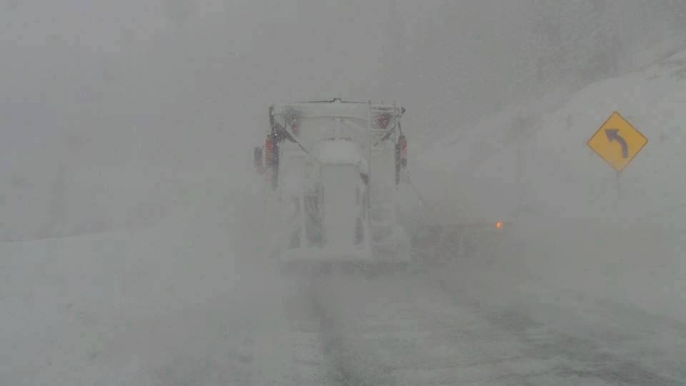
I will be able to post more details on the next forecast (on the fly). The Tetons delivered yesterday morning with 14-16 inches of freshies for 1st tram at JHMR. Targhee had similar amounts. It was deep up top with less at the base. The Cottonwoods mystified last night in Utah with Snowbird reporting 13 inches. In looking at data and water content, I think its more in the 8-10 inch range up top (4-5 at the base). Super light density fluff will await you, but with very cold temps its possible you still feel bottom. Much less snow fell in other areas of Utah last night. NW flow and some lake effect helped Little Cottonwood. Someone can chime in with a report on the comments.
If you are chasing powder, head to the Pacific Northwest and camp out through Monday. Heavy snow Friday-Monday will favor the central Cascades of WA (Stevens Pass, Snoqualmie, Alpental,) and the southern areas (Crystal, White Pass). The Oregon ski resorts will also score deep cold pow. Some resorts in the PNW will grab 3-5 feet through Monday. Snow began early Friday morning in the WA Cascades and will intensify PM into AM Saturday. Late Friday will offer 5-12 inches in many areas for the last chair. 1st chair may offer another 7-14 inches Saturday.
Snow continues in the PNW through Monday gradually trending further south favoring Oregon. Monday will be deep once again. (3 consecutive double-digit days for the PNW)
The trend for the Rockies is consistent periods of moderate snow for the Wasatch with an uptick in amounts late Saturday into Monday (Might favor the northern Wasatch initially). Amounts for the Tetons and Wasatch are likely to be in the 8-14 inch range. The Tetons will see this increase on Sunday morning into Monday (Storm ski). Aim for Sunday, Monday and again late Tuesday (See below) for Wyoming and Utah.
A second deep wave of energy moves over Oregon on Monday-Tuesday that will usher in a deeper system for the Tetons and Wasatch. Colorado will be deepest Tuesday or Wednesday with this system that eventually favors Aspen, Crested Butte, Steamboat and perhaps the western side of I-70 (Beaver Creek). Areas further East towards Summit will see less snow (Late Tuesday-Wednesday will be the deepest period). Light to moderate amounts will fall until that period.
The Wasatch and Tetons will see another decent round of moderate or perhaps heavy snow as mentioned above late Monday into Wednesday (The storm that departs Oregon). Both Tuesday and Wednesday offer Powder Days.
Powderchaser Steve


