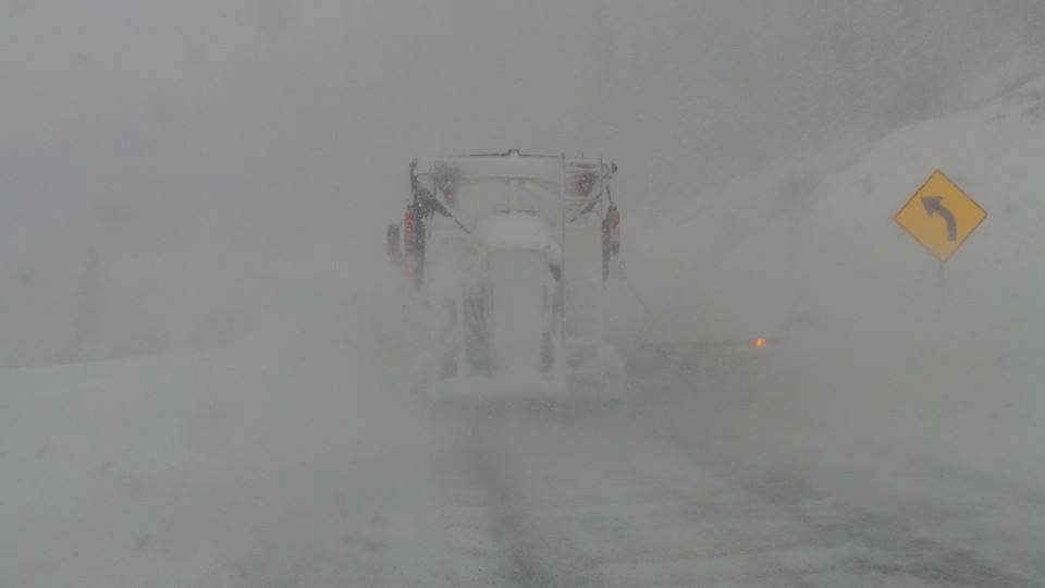
I mentioned yesterday to start in the 4 corners of Colorado (5-10) or the Sierra Wednesday morning. 4-9 inches has fallen in most of the ski areas of southern Colorado per webcams and snow telemetry (Unofficial report). The highest amounts appear to be just north of Durango but it's also snowing on Wolf Creek Pass and Dallas Divide near Telluride. Purgatory just reported 9 inches overnight and it's still dumping. Telluride just reported 5 inches (Still snowing). No official report for the Wolf.

In California, reports Tuesday were of high quality at upper elevations (Mount Rose reports were epic yesterday perhaps due to high elevation base). Squaw nabbed 6 inches Tuesday and another 12 inches overnight (Snow telemetry) with totals in the 18-inch range. Unfortunately, the temperatures have warmed to 35 degrees at the base of Squaw and snow is still falling above 7,000 feet. Expect deep cream with additional snow during the day. Rain may be falling at the bases?
Snow will continue in the 4 corners this morning with an additional 2-5 inches for most of the San Juan range of Colorado. Turning conditions may be really good at Purgatory, Silverton (Opens Thursday), and Wolf Creek. Telluride is still a wildcard with winds from the SW (Slightly lower amounts).
The Wasatch is offering rewards Wednesday morning. It's snowing in the Cottonwoods with Brighton reporting 8 inches (Telemetry is slightly less at 5 overnight). SW wind direction will continue to favor Brighton in BCC versus LCC, however, in looking at telemetry, it looks like Alta is pretty close. Another 2-5 inches will fall today in northern Utah bringing totals to 7-10 inches before the main event due on Thursday/Friday. Today will be a sneaky good powder day.
The Teton update still shows light snow Wednesday with a slight uptick into Thursday morning (2-6). Snow continues lightly in the Tetons Thursday before increasing late AM or early PM. That will continue into Friday morning (5-11 inches). I'm not sure any 6 hour period shows deep snow but the best turns will most likely happen mid-day Thursday or early Friday. The sum totals for 2 days are 5-11 inches with no single deep period.
The bottom line: Another 2-3 feet and strong winds will crush the Sierra on Thursday (Many areas will have very limited terrain). Winds decrease somewhat late AM or early PM as temps cool and quality increases (Wet snow prior). Keep expectations low on Thursday! Friday will see openings. The Wasatch grabs 1-2 feet between Thursday mid-AM to early Friday (Windy on Thursday decreasing late). In Colorado, I'm most bullish for late Thursday to early Friday for Aspen, Crested Butte, Telluride, Silverton, Purgatory, Steamboat, and Wolf Creek. 9-15 inches will fall in these areas with some isolated higher amounts. SW winds will feed north into Steamboat (Wildcard) so even though most of the moisture focus's south of I-70 Friday morning, the Boat can sometimes score (Models show moderate or heavy snow).
On Friday winds shift to the NW in Colorado so the focus will turn to the I-70 corridor with moderate snow in many areas from Vail to Summit (4-7 inches). It's possible some higher amounts creep up towards Beaver Creek or Vail. These numbers may change on the forecast tomorrow. Chase west or south for your deepest turns Friday morning. Some light snow will continue to fall in Colorado Friday PM to Saturday favoring the I-70 corridor favored by NW flow.
Even the Cascades score 5-10 inches this week with fairly warm temps. Your best turns may come on Friday morning.
Finally, a full on DEEP BLOWER event is likely for New England this Sunday! High confidence deep powder day!
Please comment if you get powder!
Enjoy the powder everyone!
Powderchaser Steve


