
Decent snowfall was reported in the Sierra and Cascades over the past 2 days.
Alpine Meadows 18 inch storm totals
Squaw: 14 inches
Sierra at Tahoe: 20 inches
Kirkwood: 12 inches
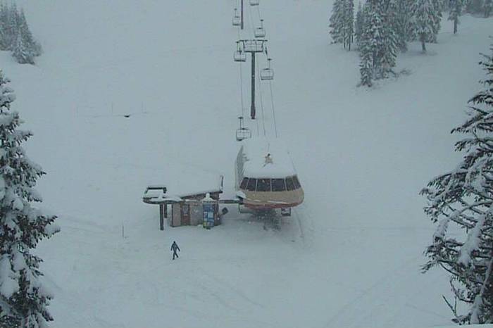
Stevens Pass: 20 inches- Convergence zone set up last night with cold westerly winds.
Crystal Mountain: 7 inches
Bachelor: 9 inches
Schweitzer: 8 inches
Below: Steamboat Pow Cam - as of Friday PM. Will be deeper by Saturday mid morning.

Snow will continue in the Sierra through this evening with an additional 3-7 inches at many resorts. The models are favoring resorts on the north side of the lake. Sugar Bowl just announced a limited opening for November 24th! The winds are very strong currently so expect lots of drifting and blowing. It's hard for me to gauge amounts on the snow cameras.
Below: WOO HOO- Tahoe finally getting snow- Sugar Bowl

The Tetons scored 10 inches at the summit of JHMR (Automated telemetry) and somewhat less at mid-mountain. Targhee had slightly less. In Colorado reports from a spotter in Steamboat (www.snowalarm.com) confirmed creamy decent conditions with very good coverage on the groomers. Folks were also poaching a few other trails that I will not mention in this post. Loveland who was not on my original shout-out has scored 10 inches as of 2 PM Friday. Aspen and Crested Butte were not far behind.
The next 24 hours will bring light to moderate snow for the Cascades and Sierra. This will include Oregon, Washington and most of northern CA. Oregon may be favored for the Cascades. Some areas may see heavier amounts through midnight.
Below: You can see the total amount of new snow that will fall through Sunday morning.

It is currently snowing in western Idaho (Brundage has 6 inches). This will push east and impact the Tetons late this afternoon through Saturday. Models show moderate snow for most of western Idaho. The Tetons will easily grab another 5-10 inches through mid-morning Saturday. The models downtrended slightly as I mentioned yesterday. My confidence is 50/50 on the possibility of higher amounts and at the same time, less could fall especially at mid elevations. Temps will cool significantly so the quality of snow will be improving by Saturday morning. Targhee is open and JHMR starts spinning on Saturday. Montana will see moderate snowfall Friday night favoring resorts from the Bozeman area and south (5-9).
Utah is still on track for a Bullseye! Expect 12-20 inches at most mid elevations resorts from Park City to Beaver (Slightly less at Sundance), and 20-30 inches in the Cottonwoods (LLC is favored over BCC). It's also possible Powder Mountain score high-end amounts due to this storm favoring the north and the NW aspect of the terrain.
Colorado grabs another 6-12 inches from after midnight Friday to late Saturday. Steamboat is still favored. This extends into Aspen, Crested Butte, and Telluride. Resorts further east will see lower amounts. Vail may nab some orographics late Saturday evening once the main storm has passed providing some sneak up amounts for Sunday morning.
Next week drys out early, with a return of a decent system Thursday-Saturday. This should be warmer with high elevation snow for the Cascades, Sierra, and the Rockies. A split flow should produce a northern track of moisture as early as Wednesday (Idaho, Montana, Wyoming). The track is not certain. Colder air moves in late in the week helping to change any rain back to snow. One possible scenario is the main low drops south and drags over most of Nevada and Utah before heading into the 4 corners by the weekend? Expect snow to impact the west beginning mid week with lots of uncertainty on track and snow levels. Its likely to be a warm system initially.
I hope you all had a great Thanksgiving! Be sure to follow powderchasers on FB and Instagram.
Powderchaser Steve


