
Summary
The final wave of heavy snow in the Sierra is moving east this evening. Most of the moisture is getting wrung out with little in the way of orographics to provide significant totals in the next 24 hours. Cold temperatures will improve snow ratios (Amount of snow per water equivalent), so even though it's a wrung-out towel some areas may sneak out another 5-10 inches by Monday morning. The Sierra may see some clearing tonight in the south with some snow showers up north (North Lake to Interstate 80). In the long-term forecast a system takes a southerly track over California and the 4 corners mid-week. Some really good news may be in store for the Pacific Northwest and BC late next week and the following in the chase extended forecast below.
Short Term Forecast
Here are a few snow totals from the past 48 hours.
Mammoth Mountain: 2-4 feet
Alta Ski Area: 27 inches
Kirkwood: 17 inches
Snowbasin: 21 inches
Arizona Snowbowl 12-14 inches
Grand Targhee: 11 inches
Bachelor: 9 inches
Pebble Creek Idaho: 20 inches
Aspen Highlands (Opened today) 5 inches
Wolf Creek: 10 inches
Eagle Point Utah- 23 inches
Beaver mountain Utah- 15 inches
My tribe of storm chasers split up with 2 going to Solitude for opening day and myself driving up to Grand Targhee where 11 inches fell overnight. The decisions to chase are complicated and were formulated on \"open terrain\" \"untracked powder\" \"crowd or buzz factor\" and others that I can discuss in a future post. We all scored deep powder today! Our next turn would have been Mammoth since there are clearing skies and it's possible the upper mountain opens Sunday? Pure speculation.
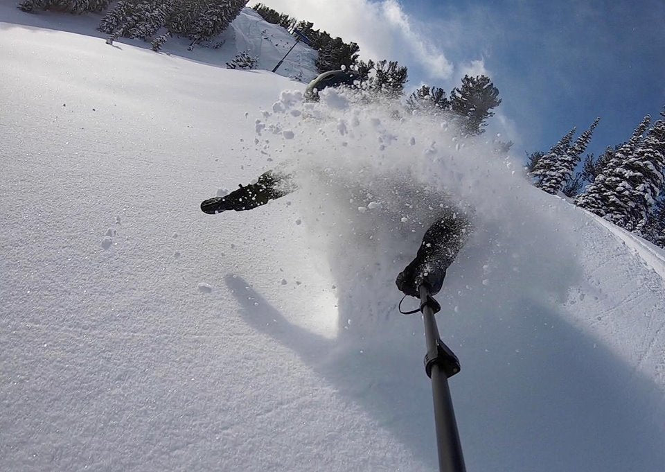
Below: Caution: This might make your stomach drop.
Opening day (Saturday) at Solitude Mountain - Rider: Luke Stone

Below: Powderchaser Steve grew a beard in just a few hours Saturday at Grand Targhee

The Forecast
Light snow continues in the northern Sierra tonight before weakening over northern Arizona tonight. That system spreads into the Wasatch of Utah Sunday and will kick off snow showers through Monday morning. Winds are initially not favorable for the western slopes of the Wasatch until late morning Sunday. The western mountain ranges (Harriman, Draper, Toole) may see higher amounts than the ski areas initially. NW winds kick off a decent fetch of moderate snowfall for many ski areas on Sunday during the day. Amounts will generally be 2-5 inches with the exception of the Cottonwood Canyons where 5-10 inches are likely by late Sunday night. Your best ride times will be to storm ski late AM Sunday to perhaps the last chair. Some light snow is also likely Monday morning. Ski areas further south like Sundance or even Eagle Point may see higher amounts.
Other desirable mentions are the mountains near and north of Boise Idaho where 3-7 inches are likely Saturday night.
Below: Total snowfall in Utah through Monday morning. - Amounts are slightly underdone with the Cottonwoods likely scoring 5-10 inches (Light persistent snowfall). Areas further north will see less. Areas further south may see higher amounts. Winds are shifting so it's a tricky forecast.

Colorado will start to see snowfall favoring the SW mountains by midday Sunday. Snow will continue into Monday morning. Light snow will accumulate slowly to 6-10 inches in areas of the San Juans favoring the southernmost regions. Purgatory and Wolf Creek are on my top list, followed by Telluride and Silverton. Best ride times are late Sunday and early Monday.
Below: Colorado snowfall through Monday morning favoring the southern San Juan Mountains. Light or moderate snow further north favoring western sections of the mountain ranges (Eagle County).

Announcements
Our thoughts go out to the passing of former President George Bush and his family! Did he ski? I don't think so but remember he was at least active (Biking and running).
Enjoy the POW everyone! There are many areas of the Country that have great snow. It's been a long time since we have seen both the East and West playing deep powder cards. The mountains of the PNW are still in need of snowfall. The Sierra just played catch up but still needs a few more big storms. The PNW may catch up in the extended forecast?
Powderchaser Steve


