This post was updated at 1 PM:
The storm that is currently underway in Utah, Arizona, and Colorado produced some unusual upside and downsides. We don't have the usually atmospheric dynamics in place to result in a widespread snowfall event. The winds were just too weak to produce the typical snow-making mechanisms. We need strong enough winds in order to be forced up along a mountain barrier and cause orographic precipitation. We did not have that with this storm, and there isn't a lot of large-scale atmospheric lift to produce snow either. Instead, we are forced to rely on some convective-based scattered showers (surface air is heated and then rises) and a narrow band of precipitation from a less commonly encountered mechanism during winter storms in the Intermountain West known as deformation. In this case, converging winds from opposite directions come together and are thus forced to rise, producing a narrow band of precipitation. The models we use to forecast snow don't do a great job predicting exactly where this band of snow will set up, and thus it's a challenge to predict where the most snow will be. As of 11:30 PM when this post is being written, Beaver Mountain in Northern Utah has already received 14\ since mid-afternoon.
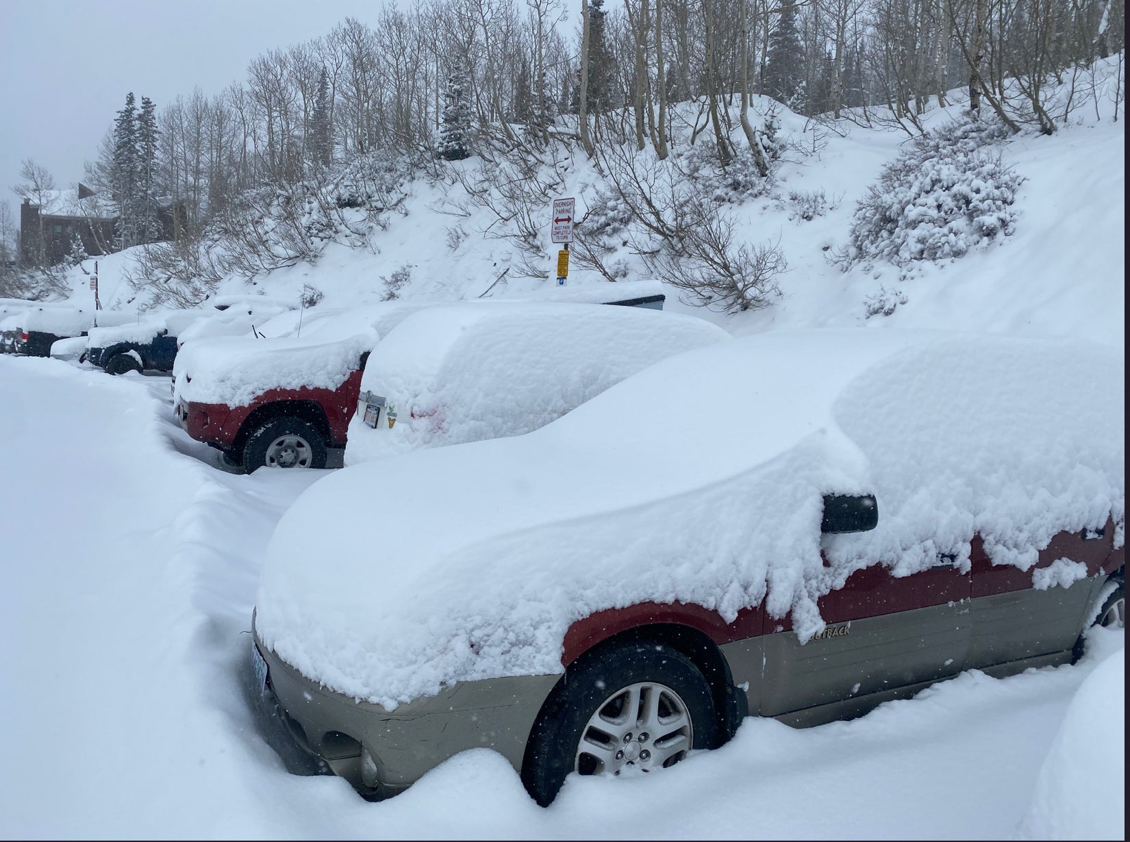
As of Sunday morning here are some totals that we have seen as of 6 AM in the past 24 hours.
1) Beaver Mountain Utah -13 Inches overnight into Sunday
2) Taos- 13 inches in 24 hours
3) Arizona Snowbowl- 20 inches in 24 hours (7-8 overnight)
4) Park City Mountain Resort- 7-9 inches
5) Snowbird- 7-9 inches- 10 at the summit by 9 AM.
6) Aspen Highlands 8 inches overnight
Below: Beaver Mountain Utah scored the highest overnight snow totals (13 inches). Check out this Family run ski area where tickets are still cheap!

Below: Alta Ski area on Sunday morning-Photo: @powderchasersteve via Instagram. 9 inches overnight

Below: 20 inches at Arizona Snowbowl in the past 24 hours. Photo: @codyle1985

As we stated above, this storm produced some upside and downside totals all due to the exact placement of the deformation zone. We did specify this in previous posts of some uncertainty and did mention Beaver Mountain and the chances that this storm could do well on the I-80 corridor. Actually, the neighborhood of Sugar House in Salt Lake City (10 inches) ended up with more snow than most Ski Areas. BCC had far lower numbers than originally forecast with LCC coming in within the low-end ranges we mentioned.
in the short term, we are watching another wave move into Colorado for Sunday night that will likely produce another 3-7 inches for most of the Central and southern side of the northern mountains (I-70- including Aspen, Vail, Breckenridge, Copper, Winter Park, Telluride, with less further north or extreme south). This will produce some upside down or upside totals due to the spotty nature of the snow showers so be ready to chase early Monday as we hope for higher totals.
Enough of the weather jargon though. Let's move on to the next storm. The NEXT storm WILL be more typical, thankfully. A wave of energy under Northwest flow will dive down the Rockies bringing heavy snow to Idaho, Wyoming, Montana, and likely Utah and Colorado as well. This is a fairly fast-moving storm and will start on Tuesday in Idaho and finish up on Thursday in Colorado. Still, cold air will be in place and allow for high snow to liquid ratios. This will not be a huge event, but a widespread 8-14\" is likely across the Intermountain West, with isolated amounts up to 20\". Right now the Tetons and Wasatch have the best chance for being on the high end of these totals. Southern or central Montana also stands a chance for some decent snow (Bridger Bowl, MT Snowbowl, Big Sky). Below is a 3-day snowfall map ending Friday from the GFS:

(Image courtesy of Weatherbell)
The dynamics are solid in this storm. There's a decent large-scale lift and the winds look strong enough for solid orographics. The only question with this storm is how far South it will get. Thus, there is a bit less confidence in the snow for Utah and Colorado. The models have been fairly consistent in the storm track though, so we do expect the storm to impact Utah and Colorado. New Mexico could get in on the action too towards the end of the week if it does get farther South.
There's more good news. The ridge that's been parked in the Pacific Ocean south of Alaska, that's been blocking storms from hitting the Western US, may finally get the heck outta there. This is what it's looked like for most of the Winter:

(Image courtesy of Weatherbell)
This major pattern change would allow for a more zonal (West to East) flow and give storms the opportunity to bring in more Pacific moisture. The models are in fair agreement that another storm, under this new pattern, will impact the Western US next weekend. It will likely bring accumulating snow to an even larger area, from Washington to Colorado. For the upper level setup next weekend, you can see the Pacific ridge is gone, and a storm impacting the PNW.

(Image courtesy of Weatherbell)
Looking out into fantasy land, the long-range models do not bring the ridge back to the NE Pacific. Woo.
If you want to chase powder to the deepest spots sign up for our Concierge program. If you live vicariously or chase based on these forecasts please donate to support our free forecast.
That's it for tonight.
Luke - Primary forecast
Updated at 1 PM - Powderchaser Steve


