Powderchasers forecasted this storm mid last week, and it's performing close to expected. Heavy snow broke out over Montana initially with a sharp cold front (Favoring the eastern side of the Divide, and slowly slammed central Wyoming (Casper grabbed at last 12 inches). Front Range totals in Colorado have been slower to develop with the coldest air just now arriving at press time. It's snowing moderately in Boulder currently, I-70 corridor to Vail, Berthoud Pass, and most of the pass locations to the southeastern sections of Colorado. Some roads are becoming snow covered (Warm temps initially have kept totals lower).
The short term High Resolution models (HRR) that has decent confidence is pumping out very impressive snow totals for the eastern sections of the Continental Divide especially in the south. East and NE winds will favor these areas of the eastern San Juan Range including South Fork, Alamosa, and the Pikes Peak Region. Monarch Ski Area normally does best with West or NW wind direction but per the web cams seems to be getting deep!
Below: Monarch Ski area as of 6:30 PM Tuesday (Dumping).

Wolf Creek Ski area will see decent amounts but is favored better with SW winds. Easterly winds may end up putting 12-18 inches down near South Fork and the the Pass up to to Wolf Creek, with lower amounts likley at the ski area (Wildcard pick).
Below: Wolf Creek Ski area as of 6:30 PM Tuesday. Looks to be moderate at this point.

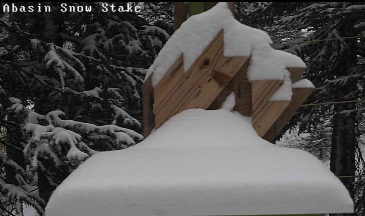
Below: A-Basin (Looks like December quality).

In Montana, the highest snow totals we have seen thus far at a Ski Resort is at Red Lodge Mountain. 15 inches fell during this storm! We highlighted Red Lodge Mountain in our last 2 forecasts.
Below: Red Lodge Mountain Ski Area- Per FB- 15 inches overnight. My guess is that some folks are skinning September Pow (Know your surface below).

The latest high resolution models show below are very bullish for South/Central Colorado. While snow will still fall in the Western Mountains, amounts will be less. 2 feet is possible at the highest peaks above 10K feet.

I can't recall ever doing a solid 1-2 foot forecast this early in a season! Does this mean anything for the upcoming winter? I wish I could say \"Yes\" but in all fairness early storms provide very little confidence for anything that happens as the season begins.
With reservations likley at many Ski Areas, this might be the best season to join our custom concierge program. That will allow us to pinpoint your best days to book well in advance, and at reasonable rates. Rates go up October 15th (25% increase). Early season rates apply currently.
Enjoy the powder everyone! The good news is that this will be good for some of the wildfires (Not in the far west), and moisture. The bad news is that the North facing slopes at the highest elevations may suffer from leftover unstable layers from this storm leading into the winter.
Powderchaser Steve


