SUMMARY:
What an amazing storm cycle in the past 3 days with significant snow that fell from Montana to Colorado. Some resorts have been shut down for 2 days and will most likely pop today. The active weather and chaseable pow are currently in the Pacific Northwest where up to a foot of semi-dense powder will await you closest to the I-90 Corridor. Colorado will grab a teaser favoring the Front Range and Summit County on Monday.
FORECAST
Moderate snow is falling over the Cascades this morning favoring the I-90 Corridor and north (Stevens, Alpental, Snoqualmie Pass). 10-12 inches will await you on first chair Saturday morning. Temps are slowly dropping so you turns up high will be a cushion (Warmer layers) topped with medium density fluffier flakes that could ride really well. Crystal Mountain will remain closed today due to a mudslide that closed the resort a few days ago. Chase now! Aim for the I-90 corridor or Stevens Pass.
In the Rockies, the heaviest snow will be found over the Tetons Saturday morning where intensities are increasing as of 4 AM. Only 2-3 inches fell overnight at Targhee and Jackson but expect an additional 3-6 inches during Saturday. Your mid-afternoon turns especially side country could be pretty decent. Temps have warmed compared to the past few days. Turns will be on a bit denser snow Saturday morning. Temps cool significantly in the Tetons for Sunday with all moisture coming to an end by late Saturday.
Below: Moisture focussing on Wyoming for Saturday.

Meanwhile, in Colorado, up to 3 feet has fallen in the past few days. Light snow showers are continuing Saturday morning favoring Summit County and the resorts closest to the Front Range. I-70 has seen constant closures and reopenings for the past 48 hours. Several avalanches hit the highway Thursday night. Considering the amount of snow that has fallen with warmer than normal temps, strong winds, CDOT has actually done a good job in keeping access open to most ski areas. The timing was your key. The quality of the snow on Friday was dense (Wind impacted) and definitely from the \"point it\" variety. Look for many rope drops on Saturday with significant closures of terrain that occurred on Friday. Aim for steep terrain as you will most likely come to an abrupt stop otherwise.
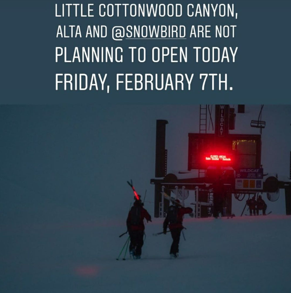
In Utah, both Alta and Snowbird have been on full inter lodge for 2 days (I don't believe any lifts have spun). Look for openings today (Saturday).
Below: Both Thursday and Friday had Alta and Snowbird on complete interlodge. Several avalanches have occured on the highway including a signficant slide that buried the Alta Lodge Parking Lot. Both ski areas are expected to open today (Saturday) with delays on the road.

In looking at a few snow reports and cameras, I can only highlight a few areas with very impressive totals in Colorado over the past few days.
Loveland Ski Area: 45 inches (unofficial)
Breckenridge: 39inches
Jackson Hole 25 inches
Vail: 24 inches
Steamboat: 27 inches (unofficial)
Silverton (22 inches)
EXTENDED
In looking for deep powder in the extended forecast there are a few systems to watch. Snow from the PNW drops south during the upcoming week teasing southern Montana, Utah and the Tetons Sunday/Monday (Light). Some moisture from the south seems to enhance precipitation for the 4 corners early next week. The Front Range of Colorado is under a North/NE flow that could spell for a moderate dump favoring the Divide or Summit County for Monday (Eagle County will see less). Northern Arizona (Flagstaff), southern Colorado (Wolf Creek) and northern New Mexico are likely to benefit in the Monday or Tuesday timeframe.
Below: Moderate system overspreading the west favoring the 4 corners and perhaps the Front Range including Summit County on Monday or Tuesday

Looking further afield there appears to be a moderate storm for the PNW late next week that might bring a moderate storm to the Rockies by Saturday (7 days away). Its too far out to predict with much pinpoint accuracy. I have decent confidence in a storm to impact the west as the work week comes to a close.
Below: Ensembles showing a trough to impact the west late next week.

ENJOY THE POWDER EVERYONE!
Powderchaser Steve


