Summary:
Unfortunately, snow levels out west rise signifcantly in the next 24 hours with rain and high elevation snow for the Cascades. Temps cool next week offering a glimmer of hope for some pow that's worth a chase. The Rockies get teased mid next week.
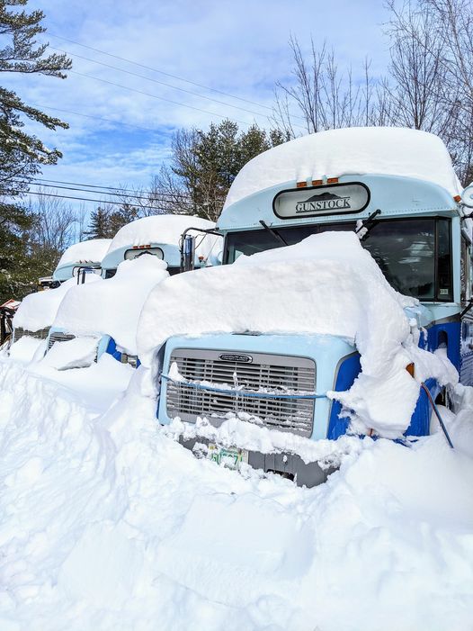
The past several days have brought some significant chase opportunities. The East coast was slammed with a storm we forecasted to favor southern New England, but in no way did we expect 4 feet at some of the southern resorts. Incredibly some resorts in New England just blasted past the west on base depths in just 24 hours! Here is the mountain report from Okemo on Saturday morning. My guess is that their snowmaking guns were completely buried. Southern Vermont had 4 inch per hour snowfall rates which is unheard of out East. I have witnessed that out west, but it's still not common.
Below: Okemo Mountain Report
\Here comes more open terrain! Our snowmaking team took advantage of cold temperatures this week and had a small helping hand from Mother Nature, well a big hand. 44 inches of snow fell in less than 24 hours on Thursday and we look to capitalize on this! While more terrain was not open directly after the storm, we are beginning to expand. Patrol has worked extremely hard to safely open terrain at a manageable rate and with a helping hand with our grooming team, will be dropping ropes today. Some terrain will be left ungroomed with bailout lanes groomed on the sides. Please note that these types of trails will be advanced skiing and riding, no matter the trail designation\"
Forecast:
The forecast out west for the next several days offers lots of moisture in the Pacific Northwest but warmer temps. Rain will be falling at lower elevations this weekend in the Cascades with snow levels sky rocketing to 7,000 feet in the south (Mount Hood) and 4-5,000 further north. The interior Cascades will stay cooler with significant snow likley Sunday/Monday up north at higher elevations however rain may be falling in the lower valleys. A cooling trend will prevail on Monday in the northern Cascades with warming in the south. Much colder temperatures will return to the Pacific Northwest late Monday into Tuesday with precipitation slowly ending. It's possible that Monday or Tuesday offer some opportunity at some resorts. All snow will be falling Monday evening into Tuesday albeit precip is dissipating. Meanwhile if you live in Canada, temps will be cool enough for all snow with some moderate events near Whislter (55 CM in the past week), and heavier event for the interior of BC Late Sunday or Monday. Bottom Line: Stay north for cooler temps and time the flip flopping warm/cold fronts in the PNW. Much colder on Tuesday.
Below: Temps remain warm in the Pacific Northwest with another signficant bump on Monday for all areas except for the far north.

Below: Models showing some signicant snow possible favoring the north Cascades of Washington and interior BC by Monday. The interior Cascades north of Interstate 90 could reap deep rewards above 4500 feet.

In the Rockies, the trend is for low pressure from the PNW to track over the central panhandle of Idaho (Wet dense snow above 5500 feet), and eventually the Tetons by Sunday/Monday. The unfortunate facts bring colder temps with the onset of snow in the Tetons Sunday and signifcant warming by Monday (Upside Down- Wet- some liquid precip is possible at the bases). Amounts at upper elevations of the Tetons may exceed 10 inches of dense snow by Monday morning.
The colder temps drop from interior BC into Montana at some point early next week. This could bring an increased chance of snowfall for Whitefish, Glacier National Park, and other mountains of Montana by Monday night. That system races south clipping the Tetons and Wasatch and eventually Colorado by Tuesday afternoon. Bottom Line: Colder storm, moderate snowfall amounts, favors the northern Rockies.
Below: Late Monday snowfall totals are building up in the central Panhandle of Idaho (Wet snow at upper elevations). Snow will be falling over northern Montana with cooler temps early next week.

Extended:
High pressure takes hold as we approach the holiday next week in the west. There is a low-pressure system that is headed for the East Coast. A return of moisture is possible for the Pacific Northwest just after XMAS, but there is not a strong signal of at this point of anything significant.
Below: Ensembles for Tuesday showing a return of some snowfall for the northern Rockies edging into the Wasatch, Tetons, and Colorado early to mid next week.

Below: High pressure entrenched in the west for Xmas while the East has an approaching trough.

Enjoy the Powder everyone!
Powderchaser Steve


