
Summary:
Many options to score powder in the next 4 days but the timing is tricky. Scoring the cold fronts will be key to quality. You could consider the PNW, Sierra, or the Rockies but no solution is perfect for those picky powder hounds. Colorado still has some flux in the models.
Please support Powderchasers by either joining the powder concierge or making a donation for our powder forecasts. The Concierge gets you custom chase forecasts and travel tips. The donations are used to support our forecasts.
Powder Forecast:
It's snowing in the Pacific Northwest and Western Canada on Saturday morning. Wet freshies can be found at Whistler and Baker this morning where dense snow is falling. The good news is colder air arrives by mid- morning or early afternoon bringing continued snow showers to the PNW with a wind shift that will form some cold air convergence zones over the central Cascades late Saturday to Sunday. Riding Sunday may be your best choice with 4-7 inches of high quality cold freshies for the I-90 corridor and US 2 Stevens Pass. The uncertain location of the CZ will present some challenges. Currently it looks to be a moderate event. Further south in WA will see less snow. Moisture increases again late Sunday to Monday with another 5-10 inches possible for the entire WA Cascade region and a warming trend (starts cold but finishes upside down- warmer). Conditions could be decent Monday morning with a bit of funkiness as warm air invades by mid morning. Overall snow totals from this warm-cold-warm storm will be 8-14 inches favoring the central or northern regions spread out over 2-3 days.
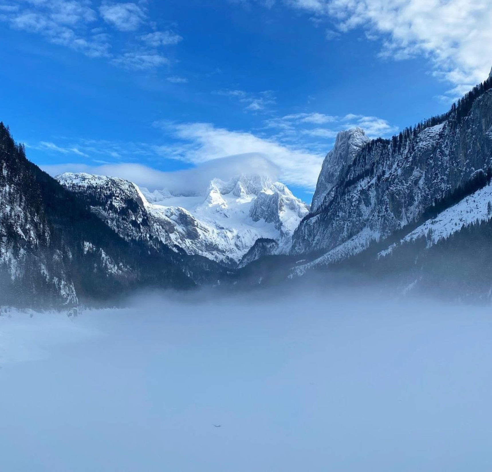
Below: High Resolution Model showing decent snowfall bands setting up over the northern Cascades on Saturday. This will drop south late as colder air moves in with a W, NW wind direction pushing moderate snow to the central Cascades for Saturday night.
:
This storm splits and sends moisture south towards the Sierra and eventually the 4 corners where it picks up ample Gulf Moisture. The northern split travels over the Rockies. The southern branch swoops up into Colorado on Monday.
Other chases include the Sierra for a moderate event favoring the southern regions of the Sierra (Mammoth) with generally 4-7 inches at upper elevations by Sunday morning (Northern Sierra may see less).
Below: Snowfall for the Sierra by late Sunday per the NBM. These amounts are noted for upper elevations. The higher totals are likely from South Lake to Mammoth.

In the Tetons and Wasatch a cold front moves in late Saturday night for Wyoming and mid- morning for Utah. This will kick off moderate or intense bands of precipitation. The Tetons seem favored initially early Sunday to last chair (3-7) with warm temps but cooler by mid -morning (1-2 inches at the bases and higher amounts during the day mid or upper elevations (Targhee sits a bit higher at the base so may have some advantages). For Utah the models are not impressive, however the cold front by 10AM Sunday will bring intense snowfall rates for 2-3 hours and decreasing by afternoon. Wewould estimate 3-7 inches is possible by last chair with some isolated snow showers continuing in the Cottonwoods Sunday evening. Most of the snow may fall in a narrow window during the mid morning and early PM. Southern Montana looks decent for Sunday especially for Big Sky!
Below: Cold front for the Tetons and Wasatch early Sunday that will increase snowfall albeit totals will be on the moderate side. Perhaps an upside surprise over the Cottonwoods (20%).

Colorado is the mystery child. Models are trending closer to a moderate storm for many of the mountain locations favoring the southern and central zones. The GFS is still the most bullish for the Front Range highlighting Denver and areas just south with nearly every other model pushing the low further south over New Mexico. Below is the National Blended Model which to me seems reasonable. You can see it's going to bring light to moderate snow to many areas but I'm not seeing a double digit dump. If the GFS pans out we will see a deeper storm for the Front Range.
Below: National Blend of models showing a best guess solution for snow totals for Colorado and New Mexico from Monday to Tuesday. Snow will begin late Sunday night. Some slightly higher amounts are noted near Aspen, Telluride and further east towards Monarch and the Front Range. This storm will likely favor the southern or central zones and certainly the eastern Plains outside the Ski Areas. Plan on 3-7 inches for many Ski areas for Monday to Tuesday with some possible upside.

Below: GFS model shows the low pressure centered over New Mexico that would result in higher Front Range Snow totals. This is the outlier currently.

Below: The European models and others are trending further south over Mexico resulting in less snow for the Front Range of Colorado and moderate snow favoring the eastern Plains and south/Central mountains of Colorado. Moisture stays west of Taos.

Extended POW
High pressure takes hold mid next week for the west. A trough is starting to show up on the models for the Pacific Northwest late next weekend or earlier the following week. This could drag west over the Rockies but it's a bit early to forecast.
Below: Storm entering the west might favor the PNW and Sierra by later Sunday or Monday next week (Day 8-9 in our forecast). Temps look to be on the warm side.

Thanks for reading! No perfect choice but many choices.
Powderchaser Steve


