The week ahead looks wet with a decent storm for the Sierra in the short term. The PNW gets active with cold temps, and snowfall, that migrates over the Rockies midweek. Yet, another storm may blast the Rockies by the end of next week. Welcome to Spring and Apriluary.
In the short term, most of your chase action is focused in California where a decent storm will bring 5-8 inches from 7-8K feet with 8-13 inches at the upper elevations. The bases will see a mix of snow and rain on Saturday. Sugar Bowl has 4 inches on the snow cam as of 4 AM and it's snowing heavily on Donner Pass.

Snowfall will increase Saturday morning further south and land in Mono County by 9 AM (Mammoth). This will bring decent conditions for most mid and upper slopes of the Sierra on Saturday. Some resorts close on Sunday so take advantage of some dense powder and perhaps a bit lighter at the peaks this weekend. Storm ski Saturday.
Below: Total snowfall for the Sierra on the high resolution HRR models for Saturday. Most of the snowfall will be found above 7500 feet with a mix of rain and snow at the bases. (Its snowing on Donner Summit at press time)

Check out the early season offering above from Ikon Pass.
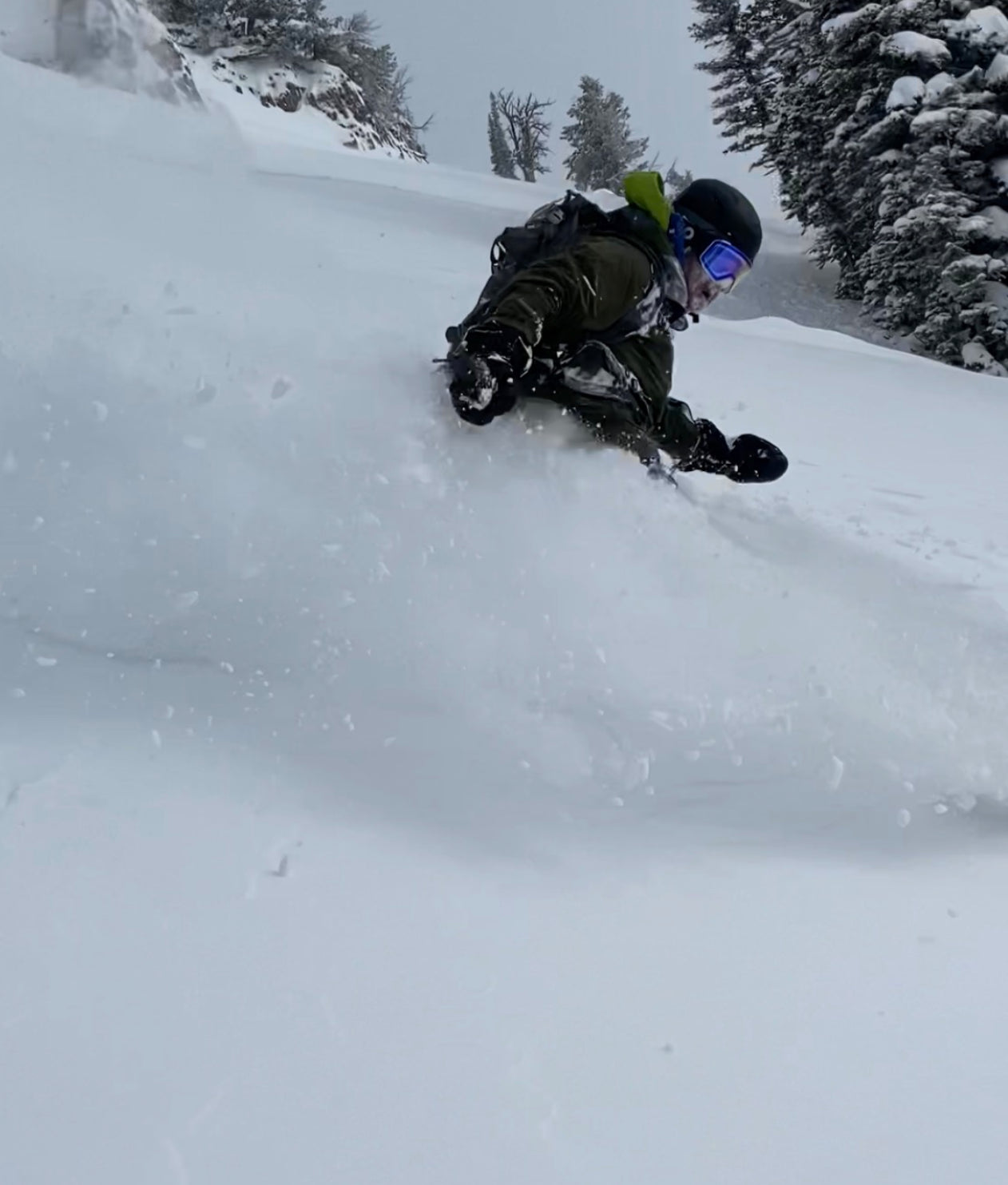
In the Rockies, epic conditions have existed in the backcountry in Wyoming where cold temps and 20-25 inches fell late last week. Utah scored deep cold pow midweek and another 9 inches fell for a bonus weekend on top of 27\" for 3+ FEET untracked at Snowbasin on Friday.
Below: @powderchasersteve via Instagram hiking in the Tetons for some bonus April blower. This might have been one ofour best runs of the season. Storm totals exceeded 20 inches over a 2-3 day period. Photo: @Blake_funstuff via instagram. Loving the new Strafe Jacket. Check these guys out.

The Sierra storm will weaken, and drags over the Rockies late Saturday to Sunday. Some moderate snow is noted on the models for Sun Valley and areas north to Haily before dragging east over the Tetons for Sunday morning (2-4) and cold temps for April standards.
The week ahead will remain stormy with 2 additional systems that could add up to several feet for some areas. The Sierra will see snow totals in April that exceed the total snowfall that fell since the Mega dump in December. It's great to see some water finally hitting the Sierra albeit a bit late for many ski areas.
Extended Pow- keep reading
Another system will move ashore for early next week bringing light to moderate snow to the Sierra with warmer temps on Monday. The Pacific Northwest looks to score some cold powder by Tuesday (Oregon and Washington Cascades) which brings light or moderate snow to the northern Rockies by midweek. Yet another and larger system with colder air will bring perhaps heavy snow to the Sierra late next week that will eventually make it to the Rockies by Friday/Saturday. The models have fluctuated for amounts for Utah and Wyoming with the deepest snow likely in this region with a bit more emphasis on the Tetons and Montana. It's too far out to forecast with accuracy, while confidence for some deep snow is relatively good right now. Bottom Line: Active period in the west with decent amounts noted for the Cascades early next week, and a larger storm for the Sierra and Rockies late week. A cooling trend is noted late next week.
Below: Strong cold front bringing temps below lake level late next week for California (Map is at 4800 feet). Weekly storm totals in the Sierra could exceed 2-3 feet including the current storm underway today. The deepest period appears to be in the short term (Saturday) and again late next week (Friday).

Below: The Cascades might score some decent snow by Tuesday with cold temps.

Below: Total snowfall in the west from Saturday (Today) through late next week looks impressive, certainly by April standards. You can chase powder in the Sierra, Cascades, and Rockies in the next 7 days with many options depending on what areas are open and Backcountry. Remember that closed ski areas that allow uphill travel need to be treated as if you are in the backcountry. The late storm next week may bring the deepest totals.

We are hiring additional forecasters so if you have experience and want to join our dynamic team please reach out to our communications team via email powderchasersmedia@gmail.com
We are also looking for additional sponsors to support Powderchasers.
Special thanks to our gold sponsors this season (Ikon Pass, Selkirk Powder, Tire Rack).
Enjoy the powder everyone! Keep those boards ready as more snow is on the way!


