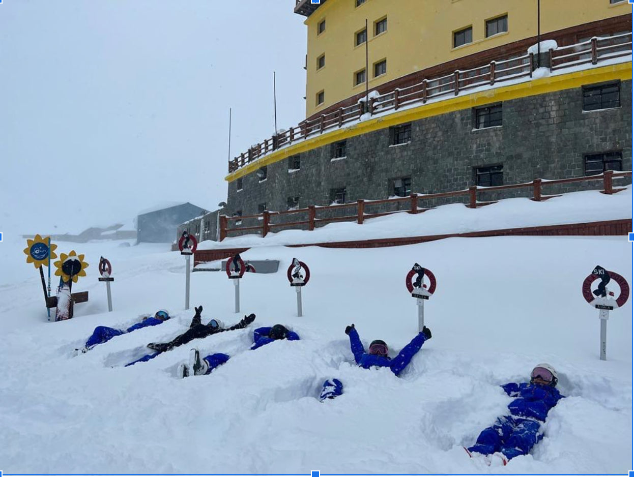
Argentina and Chile just got absolutely DUMPED on! Many resorts are reporting 3-4+ feet from last week’s storm cycle, which is right in the bullseye of what Powderchasers forecasted for last week. Here’s a quick storm recap (with mostly DEEP photos!).
Below: Portillo - 6+ feet!


Below: Valle Nevado - Feet of freshies

https://www.instagram.com/p/Cf98o_ngAxH/
https://www.instagram.com/p/Cf6ipc1gO2d/

Below: Cerro Bayo


Below: Las Leñas

After a small refresh this weekend, Chile and Argentina are once again looking at a fairly large storm cycle toward the end of next week.
We’re talking about 3+ foot totals, and while we don’t yet know all the specifics, I’m confident that this storm is worth chasing, especially after the huge base-building cycle last week; many resorts will have most or all of their terrain open!
For this storm, the bullseye looks to be further south. In fact, precipitation may not even make it up further north to resorts like Portillo. Think Chapelco, Cerro Bayo, and Catedral as ideal chase targets. Here’s what the European model has in terms of snowfall by next weekend:

As we mentioned, notice the concentration of snow remaining fairly far south. Stay tuned for another forecast early this week with more specific totals and storm chasing advice. You can join our custom concierge for detailed deep planning.
This week’s early chase target is shaping up to be New Zealand, once again, after coming off the heels of a massive, wet storm that dumped 3+ feet of snow on NZ’s southern island, the forecast has once again tilted in favor of a big one down under on Monday and Tuesday. Light snow showers may linger through the week into Thursday and Friday, so expect small refreshes and soft conditions nearly every day!
This storm is also looking fairly warm while most of the precipitation is accumulating, so expect heavy conditions towards the beginning of the storm cycle on Monday night into Tuesday morning. However, the tail end of the storm will finish off much colder as the cold sector of the system pulls colder air straight up from Antarctica, which could leave some great, fluffy powder sitting on top of heavier snow (perfect for base-building!).
By the end of the week, totals at many resorts in NZ should be between 15 and 20 inches, however areas further south, like the Remarkables, could end up with quite a bit more due to colder temperatures throughout the storm. I could see as much as 25-30” (125cm) falling by the end of the week if the temperatures remain as cold as the models are forecasting! In terms of the “chase advice” for the week, the further south, the better.
Fingers crossed for a deep week ahead! Please follow Powderchasers on Instagram and Facebook @powderchasers and join our free powder alerts from our website that ping your email with every deep storm (North America Winter)
Powderchasers deep forecast team


