Good morning powder hounds! The storm we have been talking about in the past week has crushed Colorado with 2 feet or more in many locations and up to 30-40 inches on some mountain passes.
This storm focussed on the southern Sierra initially with Mammoth scoring 24 inches on Tuesday before the bullseye hit between Crested Butte and Aspen in Colorado. Nearly all ski areas in Colorado are coming in with high end double digits.
On our last forecast Powderchasers mentioned "Up to 30 inches are possible near Aspen". Our custom blended models did a very good job at forecasting this storm.
Meanwhile in Utah, with a slow start on Tuesday many ski areas are reporting low end double digits on Wednesday morning with snow still falling under NW flow.
Here are some very impressive 24 snow totals as of 5AM on Wednesday!
Aspen Mountain: 29 inches (2-3 inch per hour snowfall rates on Tuesday)
Schofield Pass: (Near Aspen) 35 inches (Take a bow).
Wolf Creek: 31 inches
Breckenridge: 19 inches
Vail: 21 inches
Crested Butte: 21 inches
Loveland: 19 inches
Winter Park: 20 inches
Steamboat: 15 inches
Telluride: 5-7 inches
Alta: 14 inches
Powder Mountain: 10 inches
Targhee: 6 inches
Snow is still falling in many mountain areas of Colorado and northern Utah. Peak snowfall on Wednesday appears to be dropping south into the northern San Juan range (Telluride). The I-70 corridor will continue to see snowfall albeit lighter intensity. The Wasatch Ranges are still picking up decent snow showers.
Below: Vail scored 10 on Tuesday and another 10 on Tuesday night.

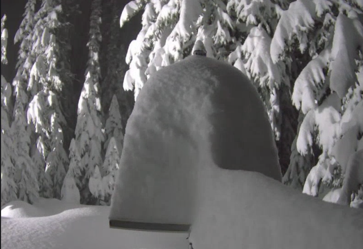
Below: Take a guess. The snow cam at Crested Butte is full-on buried (it is this November of January).

Below: Aspen webcams as of late Tuesday, and it's still snowing. (They caught nearly 17 inches in 7 hours). Totals currently exceed 29 inches. 2-3 inch per hour snowfall rates.

Below: NAM short term model showing additional snowfall over Colorado on Wednesday. Expect 3-6 additional inches on the I-70 corridor with perhaps 5-11 further south towards the northern or southern San Juan range (Telluride or Wolf Creek).

Our friends at skis.com are kicking off a pre Black Friday sale with up to 70% off on apparel, outerwear, and Ski accessories. Please check out this sale here (https://skis.com/). All sales over $200 earns you free Powderchasers shirt as well (email us!).

Meanwhile, Utah also benefits from NW flow and snow showers. They picked up 8 inches Tuesday night with 11-inch storm totals thus far in the Cottonwoods. Most mountain ranges saw double digits aside from the far north towards the Wyoming border.
Extended: High pressure seems to take hold in the west from later this week until at least December 4th (End of map run). Get your turns in now!

Black Friday special- Save up to $150 on Concierge! Big savings just started for your custom weather forecaster (Powder trip planning). Click here for the Black Friday special on our concierge program.
NOTE: Please support Powderchasers. with a donation, Merchandise purchase such as a hat or stickers, or sign up for our custom Concierge Powder Forecast Package where we provide 1:1 phone and email support to get you to the deepest locations possible. Outside Magazine listed Powderchasers in the top 3 sites with the custom concierge program. These ways to support us will allow us to keep you chasing the deepest snow all winter!


