SUMMARY
New England is on the tease this morning with sleet falling at lower elevations and mostly snow in many areas in the higher elevations. Very cold air with NW winds will produce significant snowfall late Wednesday into Thursday for northern Vermont and the Adirondacks in New York. The Cascades grabbed 5-9 inches of blower pow yesterday before temps warmed overnight. An additional 5-12 inches is likely above the bases (Cream) in the next 24 hours. California will see a decent storm of 6-12 inches today with warm temps. Most snow will be above the base areas. I think the chase of the week will be Stowe, Sugarbush, Whiteface or Jay for high-quality Thursday.
FORECAST
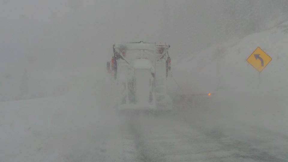
Snow is falling currently in Tahoe at upper elevations albeit light. Heavier snow moves in this morning that should land 5-11 inches at most mid and upper elevations. This may impact areas equally along the Crest with less possible into the southern region near Mammoth. Its a quick moving event so most snow will have ended by late tonight. Snow showers may continue on Thursday.
Below: Snowfall in the Sierra through late Wednesday. Spotty amounts of 7-11 inches (central or north slightly favored).

New England is under a mixed bag currently with low elevation rain/snow that may produce 3-5 inches over some of the higher elevation ski areas near N. Conway, Burlington, and Interior Maine. Warm temps are currently in place, especially in southern New England. Very cold air and NW winds will ramp up moisture over the north especially Vermont and New York State.
Significant accumulations are likely for the northern mountains late Wednesday into Thursday. Ironically the only blower pow you are going to find in the USA this week will be New England.
Below: Temps start out warm in most of New England Wednesday with a mixed bag of snow/Freezing rain. Cooler in northern VT.

Below: Temps cool significantly under NW flow by late Wednesday and early Thursday creating some upslope snowfall for northern VT and NY.

The Cascades stay wet with 5-10 inches favoring the north near the Mt Baker Ski area (4,000-foot snow levels). Schweitzer picked up 7 inches last night with warming temps. Crystal had 6-9 inches of blower pow on Tuesday. Per the Open Snow Northwest Forecaster Larry Schick, conditions were outstanding (18 degrees at mid-mountain). Unfortunately, wind gusts in the '40s and 50's kept the upper mountain closed. Currently its warming so quality is deteriorating. BC will also see snow today and tonight (High elevations only).
Below: Crystal Mountain parking lot Tuesday afternoon (5-9 of blower pow). Photo: Larry Schick- Open Snow Forecaster NW.

Below: Webcam at Whistler showing very dense snow this morning at upper elevations.

Finally, for the Rockies other than some snow showers this week a possible storm may evolve for Colorado or New Mexico. The GFS drags 3-7 inches over the Front Range on Friday that drops into northern New Mexico. The Euro is not a happy powder skier (0-2 inches). Let's see what happens in my next forecast.
Extended
In desperate search of powder in the extended, I see some light at the end of the tunnel. Next week might start out dry with some teases impacting the southern Sierra or coast of CA early. Temps this weekend into early next week will be very warm. Even Interior BC will see a significant warm up. I don't see much cold air or snowfall. Mid next week, there is a possible storm on the horizon with good westerly flow, cooler air, and decent moisture. This may land in the Sierra and spread over a wide area of the Rockies. The NW may also see impacts favoring the southern Cascades. It is over a week away, so there is no way to pinpoint the track of this system just yet. Temps may also stay warm in the Sierra so confidence is low currently on quality at the lower elevations. Temps may begin to cool off somewhat for the PNW and the northern Rockies beginning on Monday or Tuesday.
Enjoy the cream or chowdah depending on what coast you're on.
ANNOUNCEMENT:
Powderchasers has a new sponsor! Ski Ride Tours
These guys have full ski trips with dates for both February and March open. The cool thing, is that they base the location on the weather (POW) to determine where they will be taking you. It's essentially a powder chase with set dates and a mystery location. That location is determined by where the powder is falling. Ski Ride Tours also has organized trips to Japan. Please check them out on their website. They have a high repeat following!


