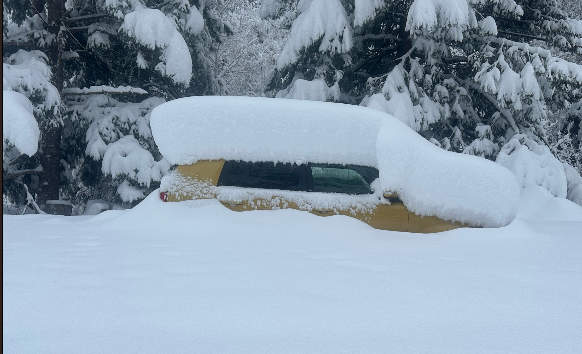
It has been a crazy stretch of very significant snow totals for coastal BC, and the northern Cascades that began late last week. That storm provided great conditions for Utah on Wednesday.
HELP US OUT! Please donate here to Powderchasers if you have taken advantage of our free forecasts. This Is our number one source of revenue. Free swag for you on all donations from $50 and up. $100 donations grab you a custom shirt also!
We have new Powderchasers shirts fresh off production for sale currently for just $32 (Front and back powder)


Don't forget if you want to chase powder to the best locations every time, join our concierge package here. This provides custom 1:1 consults. You won't miss the deep.
FORECAST
That system joined another low off the southern waters of Mexico that has formed a cut off low in the 4 corners (Stationary front). This pushed significant storm totals into the Front Range of Colorado since Friday. 55 inches are being reported at upper elevations outside Boulder. Eldora has been closed since Thursday and reported 48 inches.
We were up in the town of Eldora on Thursday and captured some incredible pics.
Below: Eldora Colorado just below the ski area was very deep on Thursday. The Ski area opened 3 lifts on Friday with more to open Saturday. Photo: @powderchasers @powderchasersteve


Below: Boulder Canyon on Thursday morning. @powderchasers
 Below: Boulder Canyon on Friday morning. Photo: Powderchasers

The cut off low over the 4 corners will continue to rotate energy north. The focus of precipitation on Friday-Sunday will be in the 4 corners. Arizona SnowBowl reported 9 inches on Friday morning. It is snowing heavily at Purgatory and perhaps Silverton. Moderate snow is noted at Wolf Creek and Telluride.
Below: Snowing heavily at Purgatory on Friday. Data from Wolf Creek slightly lower numbers.

It's hard to pinpoint your best chase in the next few day. Focus on the southern San Juan Range Friday and perhaps New Mexico on Saturday or Sunday. SE and easterly winds are not ideal for Taos, but do better further east towards Angel Fire and south towards Ski Santa Fe. Wolf Creek is a wildcard.
The big winner is Pajarito Ski area that sits in the NW corner of Santa Fe County. They ramp up big time with upslope storms blowing from the east. In fact, they reported 13 inches overnight Friday. Heavy snow may continue here for a few days.
Storm ski southern Colorado or northern New Mexico Friday. Additional snow is likely Friday night, Saturday and perhaps Sunday morning. These amounts are likely going to range in the 5-8 inch range each day with the higher totals with resorts favored by SE flow (Similar to the above mentioned locations). This will be a slow ramp up of moderate powder each day adding up to another 12-15 inches (To top off that has fallen on Friday morning). Keep an eye on Wolf Creek, Pajarito, Ski Santa Fe. Maybe we get lucky at Taos and Telluride but a bit less optimistic.
The cut off low drops south and weakens Monday and Tuesday but then advances east Tuesday night. This passage might bring some snow back to the southern CO or northern NM mountains Tuesday-Wednesday.
The extended brings unsettled conditions into BC and the northern PNW mid next week. Another good storm is possible for next weekend for much of the west (March 23 ish).
Announcement: Ikon just released early season pricing on next years pass. Please support our gold sponsor by purchasing your pass through this link.


