SUMMARY POW:
3-4 feet of high-quality snow just fell in LA County. Repeat! Snorkels are required in southern CA with even another storm possible early next week. Other notable chases this week will be the 4 corners where 10-18 inches are likely Friday-Saturday.
FORECAST POW:
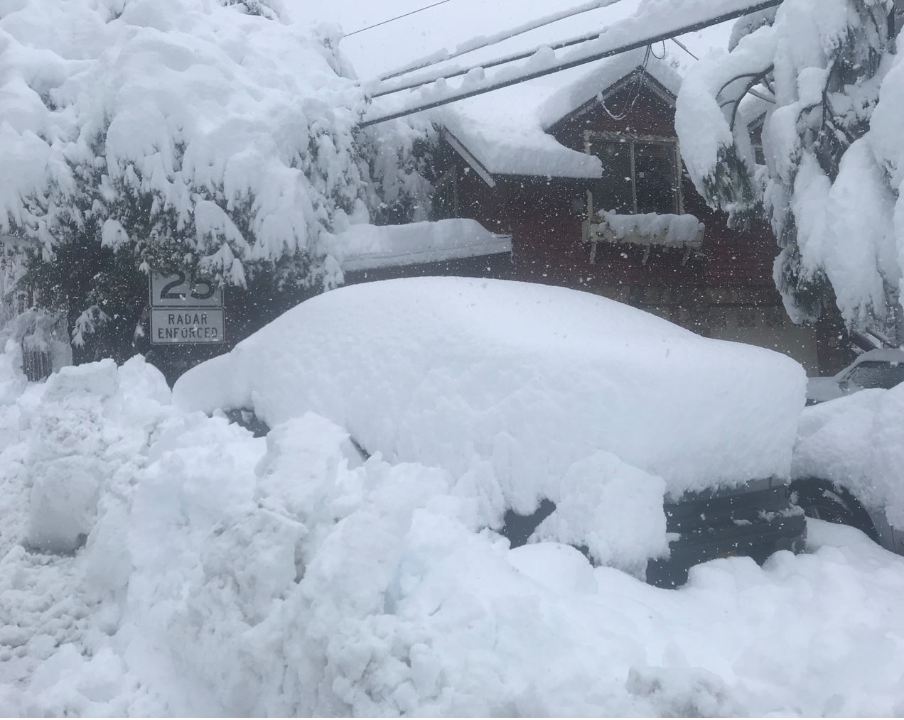
Currently, I am hunkered down on the access road to Mount Baldy Ski area where over 3 feet has fallen overnight. Temps are cold bringing snow to nearly the LA County Valley (2500 feet). Driving the Freeways brought visible snow pretty low down in the hills near San Bernadino County. Needless to say, the roads are a mess!
Below: EPIC amounts of snow fell as low as 2500 feet in LA County.
Pic: Mount Baldy access road- Photo: Powderchaser Steve

Here are some reports from this morning.
Mountain High Ski area: 36 inches
Mount Baldy: 24 inches overnight
Wolf Creek: 15 inches (27 in 48)
Purgatory: 7 inches (17 in 48)
Big Bear: 8-12 inches and dumping!
In looking at a short term chase forecast, the models are all in synch for another 4-7 inches for the southern CA mountains. A significant storm will track over the 4 corners by Friday/Saturday with 6-12 inches for the AZ Snowbowl by late Friday and 9-17 inches for the southern San Juan ranges in Colorado primarily Friday into Saturday. Storm ski Friday and ride fully covered tracks on Saturday.
Some snow will sneak north into Telluride where some models point to 8-12 inches for Saturday morning. Winds shift to the NW Saturday which can be good for Telluride so a solid contender even though heavier moisture is likely further south. Models show significant snow just north of Durango into perhaps the southern edges near Silverton (Watch Purgatory or Silverton for Saturday). Snow will also be falling on the western I-70 corridor favoring areas towards Aspen (Light or moderate amounts). Western Eagle County (Beaver Creek) is a wildcard for Saturday morning (3-7).
Further north less snow will be falling. The Euro and GFS disagree on the placement of a decent amount of energy setting up over the Front Range north of Boulder (Weld County) on Saturday PM to early Sunday. Winds shift to the North so it's possible that metro areas get deep favoring NE Colorado this weekend. Eldora is a wildcard but its too early to provide confidence. The Metro areas North and East of Denver are likely to see the heaviest snow.
Bottom Line: Power outages and large scale infrastructure issues will impact southern CA resorts for the next 24 hours. It's a risky chase, but if things open you will score gold. Arizona, southern Colorado including the North San Juans (Telluride) are safe bets late Friday and Saturday. The Metro areas near Denver are wildcards for Saturday/Sunday (Currently most moisture may fall east of the Divide)
EXTENDED POW
The extended outlook brings another decent and cold storm into the southern California resorts by early next week (Could be deep). In the timeframe closer to New years the ensembles show an active period for the Pacific Northwest, Coastal BC (Whistler and areas north) into Canada. It's likely that the northern Rockies are favored, however, there is some model disagreement on track. High confidence on a stormy New Year period, with less confidence on who will score the deepest snow.
Below: January 3rd ensembles showing troughs favoring the PNW and BC. This action may start shortly after the New Year.

IF YOU WANT DETAILED CHASE INFO AND THE DEEPEST SNOW PLEASE SIGN UP FOR THE CONCIERGE.
Powderchaser Steve


