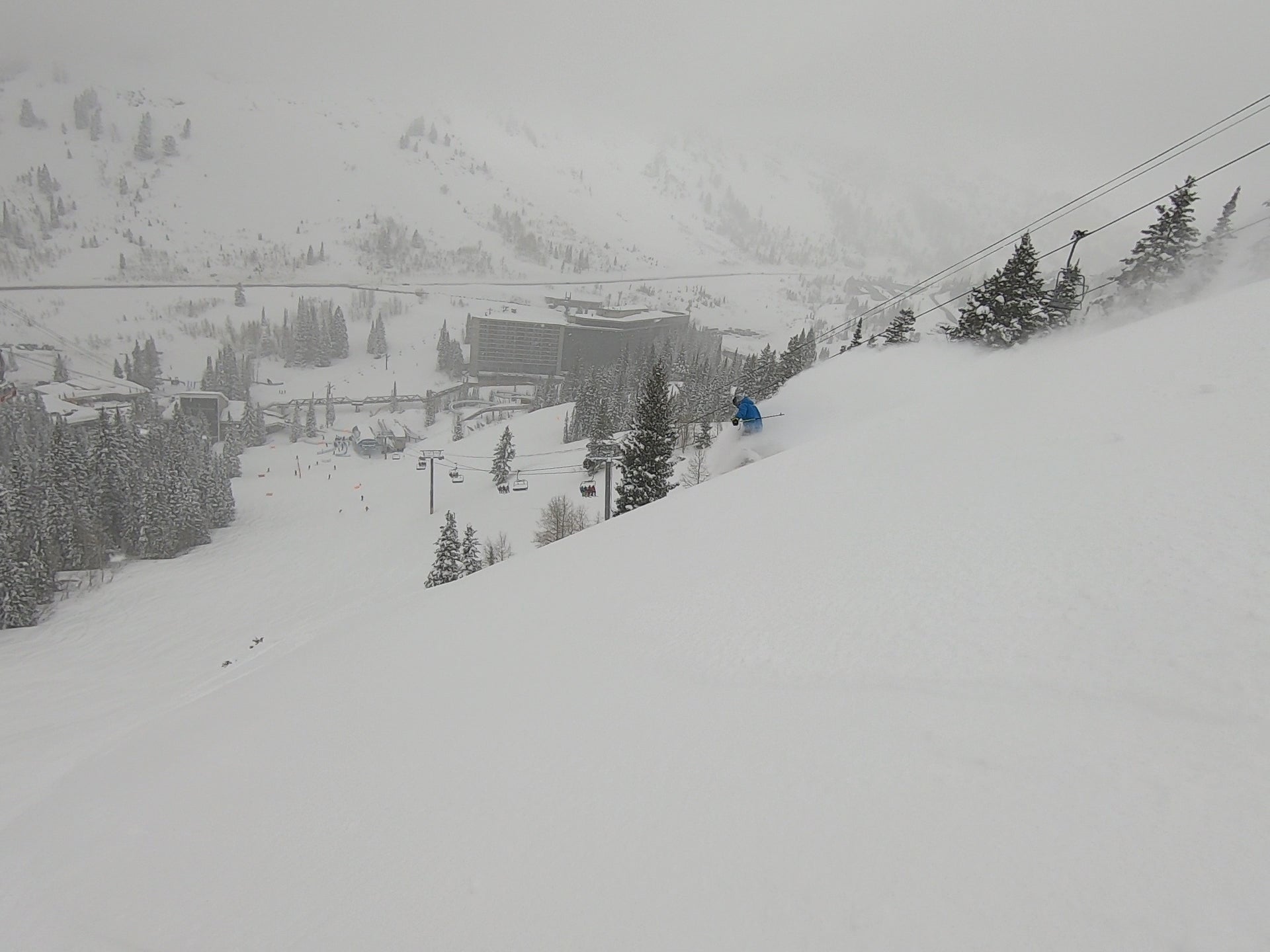
Powderchaser Luke filling in once again. If you were in Little Cottonwood Canyon the last few days, I don’t have to tell you how good it was. Wednesday was one of the best days of the season, and the 48 hour total of 38” was one of the best storm’s of the season. Snowbird managed to open Peruvian and Baldy around 9:45 on Wednesday w/ 18”+ and crowds were minimal. We had first tracks down Great Scott, Thanks for the Memories, and another Baldy chute. The Wilber area had the best quality snow that day of all the areas we rode, and the same was true on Thursday as well. Below are a few screen grabs from some of the footage the last few days. The skier is our friend Tommy. You can see the videos they were taken from on our Instagram and Facebook accounts. The snow depth at 9500 feet has surpassed 170” and with another 5\" last night the season total is up to 631”.
SKIER: Tommy Aboff


Even before we enjoyed our second incredible powder day, we were looking at the weather models Wednesday night, planning the next chase. Active weather will continue in the Western US this weekend into next, with a continuation of the progressive pattern. On Friday, a short wave trough will move through the Western US, specifically the Southwest. Right on its heals another short wave will move through the Pacific Northwest. These two storms will result in some decent chase options this weekend. It doesn't stop there though, as a stronger short wave trough will enter the Western US later Monday bringing another round of snow for many areas of the West. You can see the two weekend storms in the GIF below, first in the Southwest and then in the Northwest.

Southwest
The next storm we’ll see will affect Arizona and New Mexico Friday into Saturday. Overall, this is not a terribly cold storm, but it will be cold enough for snow at higher elevations In order to get precipitation, and snow, you need lift. Something to force (forcing) the air upward in the atmosphere. I don’t see too much large scale lift with this storm so only moderate totals are expected at Arizona Snowbowl. They should see 4-8” by Saturday morning; a nice refresh. This energy will then move East into New Mexico and primarily affect the Sangre de Cristo Mountains, with snow starting Friday evening. There’s better large scale lift in this area and a period of favorable winds for the eastern slopes of the Sangre de Cristos. We would expect Angelfire to be the winner of this storm, as they are the farthest East of the resorts in this mountain range and will benefit most from upslope snow. Angelfire should see 8-14” from the storm, while Ski Santa Fe, Sipapu, and Taos should receive 4-8” by Sunday. Decent options for chasing Saturday.
Northwest
Another system will move into the Northwest midday Saturday into Sunday. It will start out warm, with snow levels in the 4k-5k range, from North to South, but will lower considerably Saturday night into Sunday. The day to chase will definitely be Monday. There is considerably better large scale forcing in Northern Washington, so Mt. Baker will be the winner with this storm, where 10-16” should fall by Sunday morning. Lesser amounts, around 4-8”, can be expected at Steven’s Pass and Crystal. Both have had good snow recently so this will only make conditions even better. You can see moderate moisture affecting the Northwest Sunday morning in the image below.

Tetons
The same storm will deliver decent totals to the Tetons as well. With Grand Targhee being the only remaining open resort, that will be your only option for in bounds skiing and riding for the fresh snow on Sunday. It’s high elevation will be key though, as it never gets too cold. They too should see 4-8” by Sunday morning. Fair amount of water over the 24 hour period from Saturday evening to Sunday evening in the Tetons.

Mid Range
Another storm will come in right on the heels of the one affecting the Northwest this weekend. This storm appears to be stronger and longer lasting, with the possibility of impacting California, Utah, Idaho, Montana, Wyoming, and Colorado through Wednesday. Stay tuned for an update on this storm in a future post.
Long Range
After the storm early to the middle of next week, it looks like a ridge will build into the West from the Coast. We’ve had so few ridges this season, and they haven’t lasted long when they have happened. It looks like this pattern will continue, as the ridge should break down by the weekend with a return to active weather in the West. Below is a picture of the forecast ridge on day 6, as well as a satellite image of the now massive storm that brought the recent snow to Utah, which is now affecting the middle of the country, and looks incredible.


Powderchaser Luke


