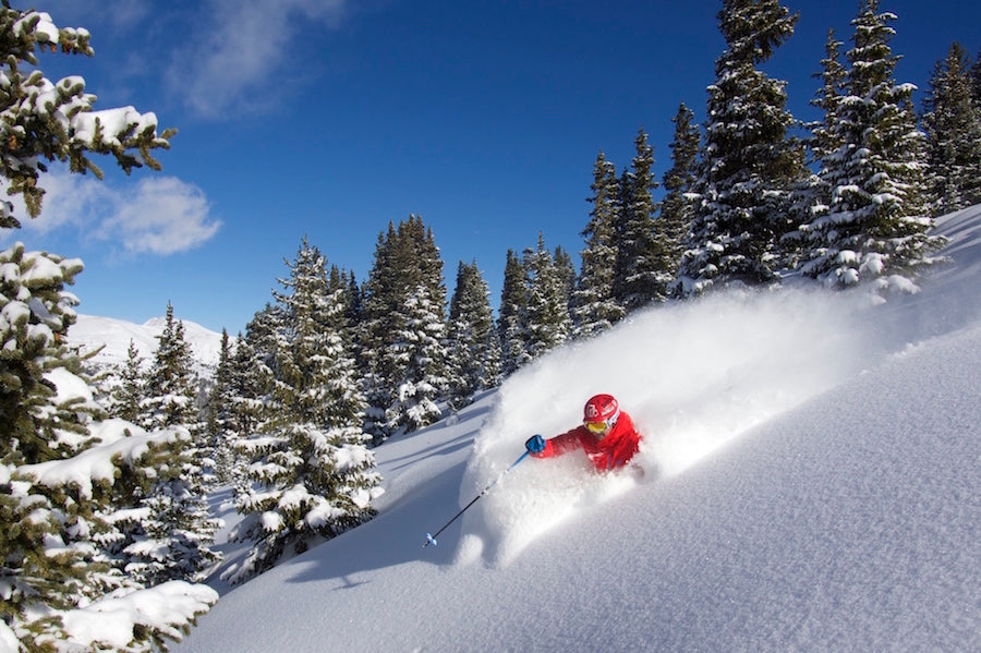
All eyes are on Christmas week. While some locations in the Pacific Northwest have seen decent snowfall, the overall pattern is much warmer than we'd like. It's good to see base building snow at upper elevations, but its mid December, and the storms during the past week have been too warm to warrant chasing, in our opinion anyway. Lets hope we see Santa grabbing faceshots next week!

Well, your Christmas wish may be answered. Starting around the 24th, it looks like a stormy pattern will return to the Intermountain West. Not only should this pattern extend the storminess beyond the Pacific Northwest, but there should be some colder air with it. Below are the American and European Ensemble forecasts for the upper level pattern on Christmas Eve. You can see stormy weather beginning to move over the coast (23rd or 24th timeframe).


The European model above is a little stronger/colder, but this far out the details aren't too concerning. The next day, you can see both models showing the trough moving inland, hopefully bringing snow to the Rockies closer to Christmas.


You can see the 5 day average pattern ending on the 30th below from both models. Some differences exist, but overall they both show a trough and stormy weather over the West.


The temperature forecast from both models looks pretty good as well.


Beyond the days approaching New Year's the pattern is less clear. Currently, the models do not strongly indicate continued storminess or a return to dry weather. However, there is a long range feature that is popped over the last week that is worth mentioning. One method for getting an idea of what the mid to long range weather will look like in the US is by looking at what's going on way up in the atmosphere, in the Stratosphere, about 35k feet above the earth. The mechanisms are complicated, so we won't go into too much detail, but the models are forecasting a warming of the atmosphere in the stratosphere. This leads to the cold air being displaced from the poles in the stratosphere. There is usually a lag between the events of the stratosphere making their way down to our weather, but typically where the cold air is displaced in the stratosphere is where the cold air will be in our atmosphere. We will be watching the location of the potential stratospheric polar vortex split closely and the impacts it will have on our weather. We will update this situation next week on the Monday Long Range Outlook.
This feature on Powderchasers.com is broadcasted each Monday of the week!
Forecaster: Luke Stone


