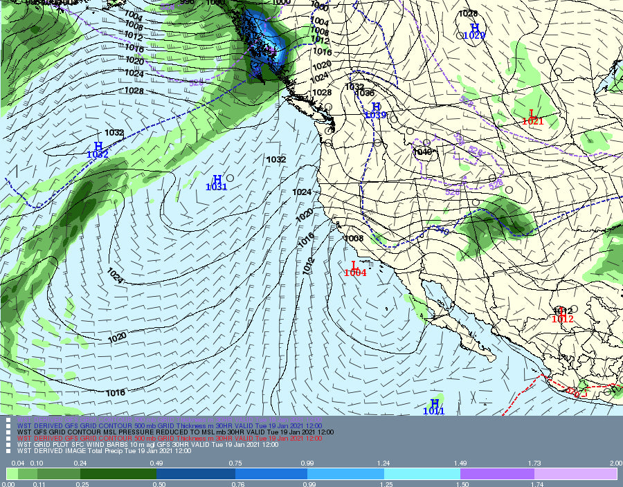
Summary:
Its snowing heavily in north central Montana where 18 inches fell Sunday Night at Ski Showdown. Powderchaser Luke is going to be up there today! Most areas further south saw very low snowfall totals in Montana. A moderate system will impact the NM/CO border Monday night into Tuesday. Please support our forecasts and join our Concierge list for specific chase forecasts (Wind, Depth, Temps, Custom mapping etc.). We sent a few folks that reached out to us to to the deepest resort from this departing storm (18 inches in 12 hours at Showdown).
Forecast:
Ski Showdown in north/central Montana saw 18 inches Sunday night (over-performed the models with 25:1 snow ratios with very cold temps). Further south only 2-4 inches fell including the Tetons. Those mountains were my wildcard pics and surprised that Bridger came up short. In Colorado the spread was between mentioned 2-6 inches with the highest amounts closest to the Front Range. Bottom Line: If you chased to northern Montana you are being rewarded right now. Some soft decent turns will be found along I-70 in Colorado this morning and perhaps you find higher amounts at the summits near the Front Range.
The next chase for powder will take the majority of powder to the NM/CO border Monday night into Tuesday. South winds shifting to the East will favor the eastern flanks of the mountain ranges making it tricky on ski area forecasting. Currently, the models show 4-8 inches for Wolf Creek for opening chairs Tuesday with perhaps 5-11 inches further south towards the NM border. The east side of the pass might deeper than the west (Pagosa side). In New Mexico, Taos is a wildcard with 5-9 inches likely for Tuesday morning (first chair) and additional snow during the day. Ski Santa Fe sometimes does better with this pattern (East winds) where higher amounts are likely (7-14).
Below: Total snowfall through Tuesday night. Snow ratios due to colder temps will be higher than 10:1 shown on this map, so amounts are likely to exceed these numbers (Add 50% to these totals). Good timing, overnight snow, cold temps, with the highest totals found in Ski Areas that are favored by easterly or SE wind directions (Red River, Angel Fire, Ski Santa Fe). Taos will do well also, but might come up a bit short.

I am still in Hawaii posting at 4:30 AM aloha time. Maui grabbed some of the highest surf in several years with 30-50 foot waves on Saturday. I was fortunate to be at Jaws (Near Haiku) Sunday witnessing some of the best surfers in the world score 35 foot waves. Big wave surfing is an incredible thing to watch!
Photo: Big wave surfing at \"Jaws\" in Maui on Sunday. @powderchasersteve via Instagram

Extended:
Looking out 7 days, there appears to be a low pressure system that moves into the Sierra late this week that drops south over the Sierra before moving East over Utah and Colorado for the weekend. This appears to be a decent though that could reward us skiers/boarders with moderate amounts for California and perhaps heavier amounts for the Rockies. Its possible that moderate or heavy snow finally overspread the core of the Wasatch extending up to the the Tetons, and over much of Colorado and even Arizona for the weekend. Let's hope the models hold up!
Below: Sneak peak with low confidence at this point of a decent storm to impact the intermountain west next weekend.

Enjoy the powder everyone! Aloha! I am back from Hawaii late tonight.
Powderchaser Steve


