Summary:
This week will get off to a quiet start in the west, with high and dry conditions expected to bring no snowfall to the mountains. The west is in for major snowfall this weekend, but will transition to a warm, wet, and likely rainy pattern early next week.
Storm #1
The first storm will affect the Four Corners region, mainly southern and central Colorado. By the time lifts are spinning on Friday, we’re looking at 4-8” at Wolf Creek, and 2-5” for the central mountains, with totals rapidly decreasing as you go further north and east.
Friday and Friday night will bring another 4-8” to Wolf Creek. In the central mountains, the best resorts to chase will likely be Snowmass and Crested Butte. Winds will be out of the southwest, which often boosts Crested Butte and Wolf Creek; look for totals potentially exceeding the forecast at those resorts. Cold temperatures means the snow quality will be excellent. Below is a multi-model blend depicting what the storm totals may look like:

Storm #2
The next system should make landfall in the Pacific Northwest on Thursday night/Friday morning. This storm will primarily affect the PNW and Intermountain West (Idaho, Montana, Wyoming, Utah, Colorado) and will tease California with some potentially decent totals.
Saturday is looking like a good day to chase in the PNW, with deep overnight totals on Friday night and snowfall continuing throughout the ski day on Saturday. Baker looks like it’ll pick up 5-9” on Friday night (on top of 4-8” storm total from Thursday night and Friday day) and another 3-7” during the day on Saturday. By the end of the day on Saturday, I like 12-20" storm totals for the central and perhaps southern regions of Washington (Stevens Pass, Alpental, Crystal-wildcard).
The winds out of the west will really hammer standalone resorts like Mt. Hood and Mt. Bachelor. At Hood I can see 6-10” overnight on Friday night with another 4-8” during the day on Saturday. Bachelor has the advantage of being south, so it will continue to see precipitation as the storm slides south; I could see Friday night, Saturday day, and Saturday night all bringing 6+ inches each, meaning the storm total at Bachelor could be approaching 20-25” by Sunday morning. As of right now, I like Bachelor as a Sunday chase, maybe even a Saturday choice (although Hood looks like it may be better on Saturday).
This precipitation will also reach California on Friday night and should bring 3-8” between Friday night and Saturday afternoon for the Tahoe region. Mammoth will only see an inch or two. However, uncertainty remains extremely high. Below is the European model (left) and American model (right), showing a huge discrepancy in totals and placement:

In Utah, a small initial push of moisture will bring a few inches on Friday, although the main push of precipitation arrives during the day on Saturday. Saturday could bring good refills during the day, with 3-6” during the day for the Wasatch. Saturday night will see most of the snow in this system, and should drop 5-9”. Sunday will bring another several inches, bringing the storm totals to 10-15+ inches (I think the odds of exceeding this range are pretty good). Robust northwest flow with this system brings some extra upside to the Cottonwood resorts (Alta, Snowbird, Brighton, Solitude), so plan on chasing there on Sunday. Below is the European model's forecast for Utah.

In Colorado, we’re looking at storm totals of 5-10”. Confidence remains extremely low at this time, but it’s looking like this storm will primarily impact the central/northern and western mountains, with totals dropping off to the south and to the east. Early chase targets for this weekend include Snowmass, Steamboat, and Powderhorn.
Extended storm #3
Another storm is gearing up to make landfall on Sunday morning in the PNW. This storm is looking WARM with snow levels starting at ~3,000 feet but rising to 5,000-5,500 feet in Washington and 6,500 feet further south in Oregon during the peak precipitation on Sunday afternoon. This means that most resorts in the region will see rain, although Crystal’s high elevation could mean major wet, heavy snow that will be difficult to ski but will be great for building base on the upper mountain. Unfortunately, this warm system looks like it will literally rain on this weekend's parade (of deep snow totals). Here's the ECMWF model painting a warm, rainy, dismal outlook for the PNW on Sunday evening:

This same system will creep east into the Intermountain West, staying north mainly in Idaho, Montana, and Wyoming early next week. It's too early to nail down specifics yet, but the Tetons (Targhee & JHMR) could get hammered with several feet of wetter snow as the temps warm by late Monday to Wednesday (December 4-6).
ANNOUNCEMENT: Please join our powder concierge program to support powderchasers. This program provides 1:1 forecasting, chase locations, and custom trip planning to get you in the deepest snow with each storm. You can also donate on our website or purchase some swag to support us. This keeps the free forecasts going. Any Donations of $50 or more get you free swag!
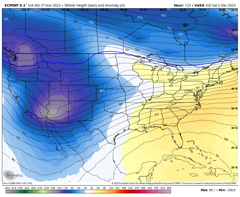
Beyond this, the models are all over the place, so we’ll have to wait and see how things shake out. However, it’s looking fairly warm and wet across the west, so likely a continued pattern of low elevation rain and high-elevation snow:

Sponsor Alert: This post is sponsored by Skis.com and Snowboards.com. Cyber Monday Sale (up to 70% off) Powderchasers supports them being family-owned and with a vast selection of quality gear and clothing. We will donate a PC tee shirt for every purchase over $200 (Email us). They have an incredible selection. Please support them as a family owned shop and sponsor.
Powderchasers Forecast Team


