
Decent snowfall likely for the Pacific Northwest this weekend followed by a moderate event for much of the Rockies Sunday-Tuesday.
PNW
Yesterday's forecast is intact with significant warming for most of the West late this week and into the weekend. The Cascades will begin to cool on Friday night when a cold front brings 9-14 inches to the northern Cascades and 5-10 inches further south towards Stevens and perhaps Crystal. The Good: Decent snowfall event overnight Friday into Saturday for the northern Cascades (Central and southern areas wildcards). 1500 foot snow levels with high quality. The Bad: Warm temps preceding this event might form a crust layer in areas that see less than 12 inches.
Rockies-Sierra
Low pressure from the PNW splits moisture both east and south with the Sierra getting light snow on Sunday (Yes- White stuff). The Tetons and Wasatch are 2 spots to watch for Sunday/Monday. The Tetons are likely to receive light to moderate amounts while the Wasatch may be in the moderate category. The plumes are leading high confidence for 5-10 inches with perhaps higher amounts by Monday morning. Peak snowfall will be Saturday night through Sunday evening. With SW winds initially over the Wasatch, it's possible that areas north of Salt Lake (Snowbasin) report higher amounts initially. It's also possible that Big Cottonwood reports higher numbers than LCC. This is a modest storm at best with your best days to ride being Sunday and Monday. Winds in Utah shift to the north Sunday afternoon which could shut down precipitation in some areas. There are many factors that can limit totals with this storm with some outside chances of overperforming. We can narrow this down in a future forecast.
For Colorado light snow on Wednesday night continues to refresh areas that have seen decent snow this week. The next chance of more significant snow will arrive for Monday morning. Winds shift from NW to North on Monday which will likely limit totals along or south of I-70 and increase amounts to the north or west. Currently, models are moderately bullish for Steamboat and areas east towards the Front Range (Winter Park, RMNP) with less falling over Summit County. The models also point out to some moderate snow for areas west and south towards Aspen and even the San Juan Range with some moisture that hit the Sierra Sunday moving over the 4 corners. Arizona and even southern Utah may get teased. The GFS is very bullish for Telluride while the EURO a bit less. Details will emerge on a future forecast but confidence is high for a moderate event for many areas of Colorado early next week.
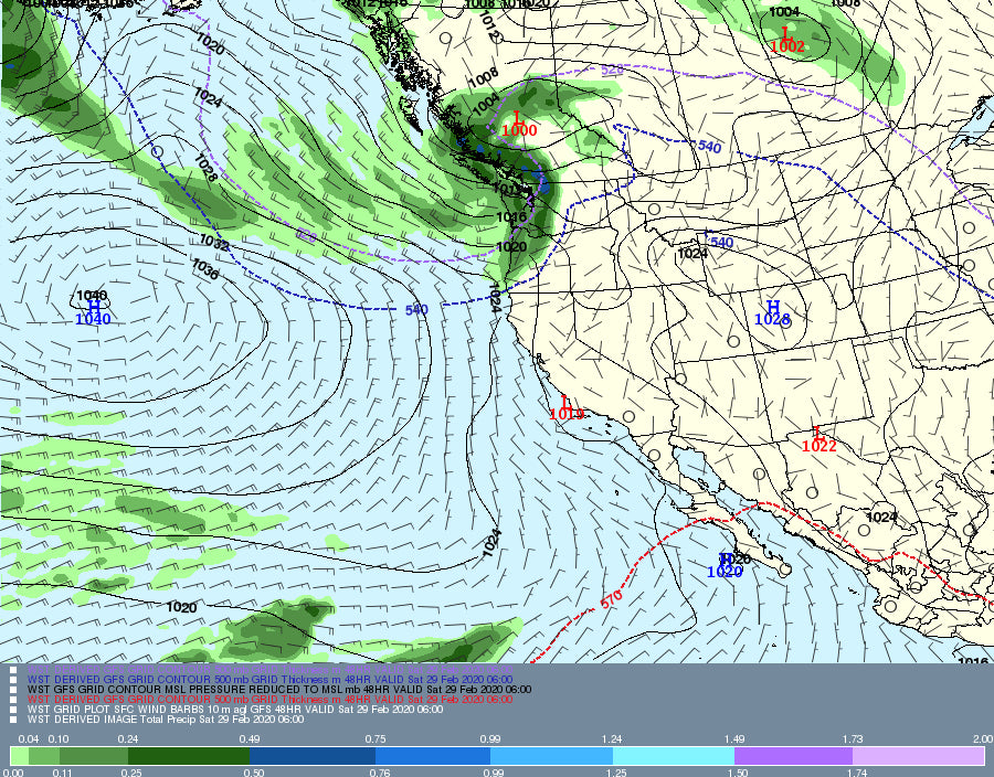
Below: Total snowfall for the West through Monday night highlighting the Cascades and coastal BC this weekend. Moderate snow is likely for some isolated areas of the Rockies Sunday/Monday.

You can chase this week to the PNW Saturday followed by the Wasatch or Tetons Sunday and end in Colorado for Monday or Tuesday.
Enjoy the powder everyone! I might be biking in Moab or Fruita this Saturday followed by a chase for Sunday or Monday?
Powderchaser Steve


