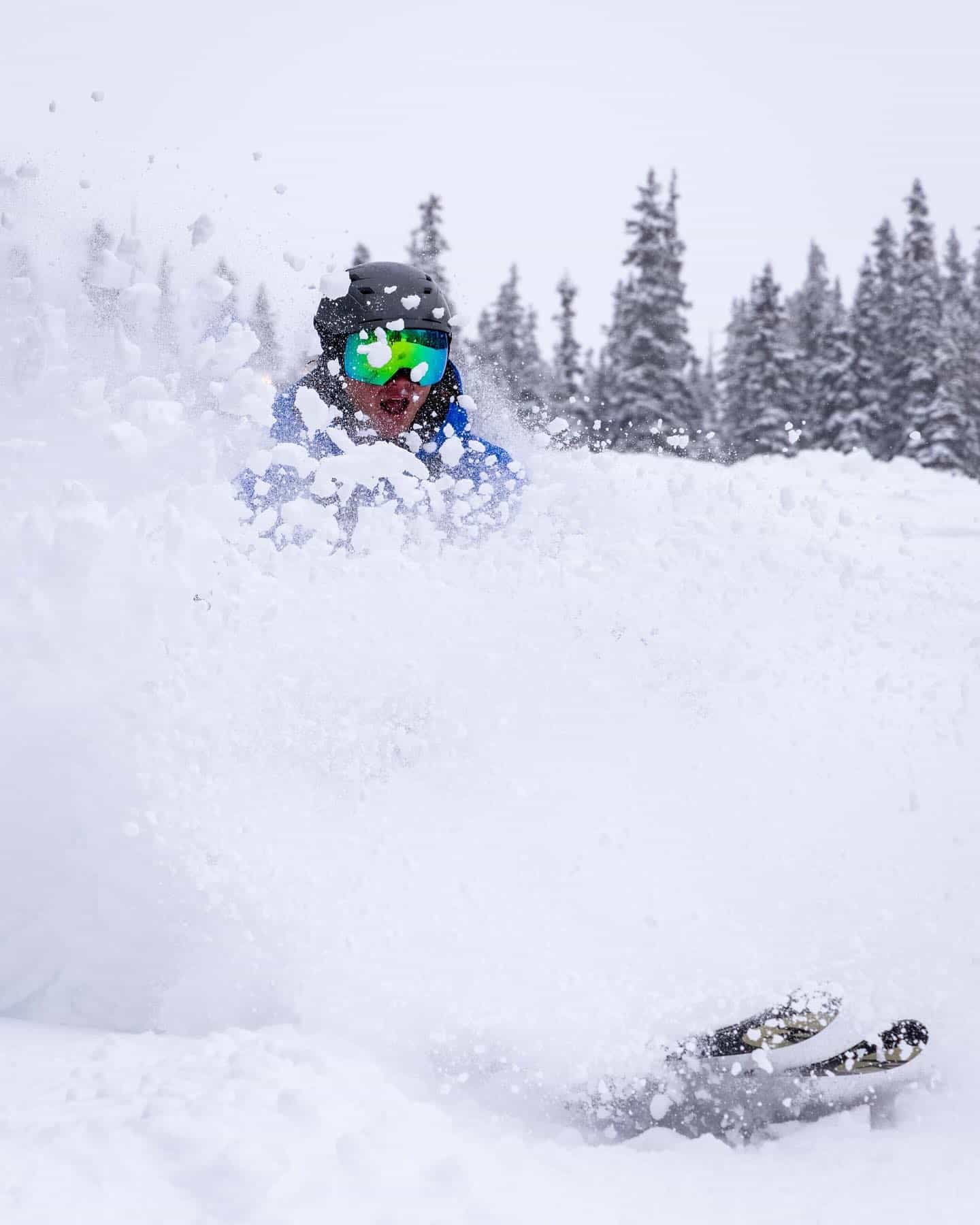
A major winter storm moved through Colorado this weekend, dumping significant totals across the state and bringing skiable conditions all over.
First, let’s take a look at modeled storm totals from the NOHRSC. Keep in mind that this data is a combination of observations and model data, so the values are not 100% accurate:

The models predicted this storm with impressive accuracy, in terms of both the quantity and spatial distribution of the snowfall. Our forecast on Friday described a bullseye in the West Elk Range near Aspen with a band of large totals extending to the northeast through the I-70 corridor and into the Front Range. Sure enough, that’s exactly what happened.
In terms of actual exact totals at resorts, here’s what we saw when it was all said and done. As expected, central Colorado wound up with the biggest winners from this system:
- Snowmass: 28”
- Aspen Highlands: 25”
- Crested Butte: 20”
- Vail: 20”
- Beaver Creek: 17”
- Breckenridge: 15”
- Copper: 15”
- Keystone: 12”
- Arapahoe Basin: 11
Announcement: Powderchasers teamed up with Skis.com & Snowboards.com are our go-to source for winter sports enthusiasts looking to elevate their game on the slopes. As a PowderChasers follower please check out their extensive selection of of gear and one of the oldest local ski shops in the United States.

Arapahoe Basin opened on Sunday. October powder day, now that’s opening day done right! Keystone will be joining A-Basin by opening tomorrow (Wednesday, November 1).
Let’s take a look at some photos from around the state. More photos should roll in over the next few days as more and more dedicated shredders get out in the mountains:

Credit: Doug Evans - dougtheskier Instagram

Credit: Arapahoe Basin


To support Powderchasers, please join our concierge program for 1:1 custom powder forecasts, and our expertise in sending you to the deepest resorts. This includes trip planning, contact with our forecasters and your dream vacation or desire to chase powder. You can also donate here.


